184 Yoder Ln Roseburg, OR 97471
Green NeighborhoodEstimated Value: $303,000 - $320,000
3
Beds
2
Baths
1,782
Sq Ft
$175/Sq Ft
Est. Value
About This Home
This home is located at 184 Yoder Ln, Roseburg, OR 97471 and is currently estimated at $311,801, approximately $174 per square foot. 184 Yoder Ln is a home located in Douglas County with nearby schools including Green Elementary School, John C. Fremont Middle School, and Roseburg High School.
Ownership History
Date
Name
Owned For
Owner Type
Purchase Details
Closed on
Nov 10, 2008
Sold by
Dutra Alfred L and Dutra Nora
Bought by
Masterfield Lonnie L
Current Estimated Value
Home Financials for this Owner
Home Financials are based on the most recent Mortgage that was taken out on this home.
Original Mortgage
$153,900
Outstanding Balance
$100,234
Interest Rate
6.09%
Mortgage Type
VA
Estimated Equity
$211,567
Purchase Details
Closed on
Jun 15, 2005
Sold by
Currie Valynn
Bought by
Dutra Alfred L and Dutra Nora
Create a Home Valuation Report for This Property
The Home Valuation Report is an in-depth analysis detailing your home's value as well as a comparison with similar homes in the area
Home Values in the Area
Average Home Value in this Area
Purchase History
| Date | Buyer | Sale Price | Title Company |
|---|---|---|---|
| Masterfield Lonnie L | $154,900 | Ticor Title Company | |
| Dutra Alfred L | $45,000 | Douglas County Title Company |
Source: Public Records
Mortgage History
| Date | Status | Borrower | Loan Amount |
|---|---|---|---|
| Open | Masterfield Lonnie L | $153,900 |
Source: Public Records
Tax History
| Year | Tax Paid | Tax Assessment Tax Assessment Total Assessment is a certain percentage of the fair market value that is determined by local assessors to be the total taxable value of land and additions on the property. | Land | Improvement |
|---|---|---|---|---|
| 2025 | $1,100 | $117,624 | -- | -- |
| 2024 | $1,068 | $114,198 | -- | -- |
| 2023 | $1,037 | $110,873 | $0 | $0 |
| 2022 | $1,007 | $107,641 | $0 | $0 |
| 2021 | $978 | $104,505 | $0 | $0 |
| 2020 | $987 | $101,465 | $0 | $0 |
| 2019 | $969 | $98,507 | $0 | $0 |
| 2018 | $946 | $95,638 | $0 | $0 |
| 2017 | $918 | $92,855 | $0 | $0 |
| 2016 | $902 | $90,155 | $0 | $0 |
| 2015 | $887 | $87,525 | $0 | $0 |
| 2014 | $859 | $84,972 | $0 | $0 |
| 2013 | -- | $82,493 | $0 | $0 |
Source: Public Records
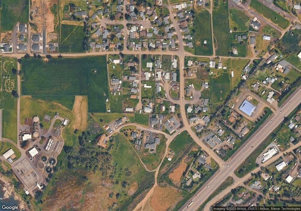
Map
Nearby Homes
- 176 Nehalem Loop
- 0 Old Highway 99 S
- 4913 Melody Ln
- 277 Armande Loop
- 189 Bobwhite St
- 155 Bobwhite St
- 308 Helweg Rd
- 807 Callahan Dr
- 4467 Melody Ln
- 783 Callahan Dr
- 633 Highland Vista Ln
- 621 Highland Vista Ln
- 140 Erin Ct
- 160 Braxton Ct
- 439 Chandler Dr
- 4885 SW Grange Rd
- 133 Silverado St
- 200 Emils Way Unit 45
- 4807 SW Grange Rd
- 1993 Linnell Ave
Your Personal Tour Guide
Ask me questions while you tour the home.