1840 Redding Rd Birmingham, MI 48009
Estimated Value: $4,573,522 - $4,734,000
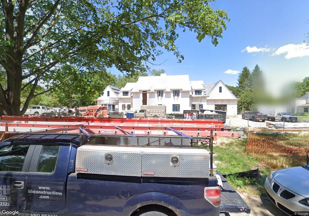
About This Home
This home is located at 1840 Redding Rd, Birmingham, MI 48009 and is currently estimated at $4,653,761, approximately $412 per square foot. 1840 Redding Rd is a home located in Oakland County with nearby schools including Quarton Elementary, Derby Middle School, and Ernest W. Seaholm High School.
Ownership History
We collect this data history from publicly available records. To have your information removed, we recommend requesting removal directly through your county’s website.
Purchase Details
Purchase Details
Home Financials for this Owner
Home Financials are based on the most recent Mortgage that was taken out on this home.Purchase Details
Home Values in the Area
Average Home Value in this Area
Purchase History
We collect this data history from publicly available records. To have your information removed, we recommend requesting removal directly through your county’s website.
| Date | Buyer | Sale Price | Title Company |
|---|---|---|---|
| $1,300,000 | Liberty Title | ||
| -- | None Available | ||
| -- | None Available | ||
| -- | Attorney |
Mortgage History
We collect this data history from publicly available records. To have your information removed, we recommend requesting removal directly through your county’s website.
| Date | Status | Borrower | Loan Amount |
|---|---|---|---|
| Previous Owner | $590,000 |
Tax History
We collect this data history from publicly available records. To have your information removed, we recommend requesting removal directly through your county’s website.
| Year | Tax Paid | Tax Assessment Tax Assessment Total Assessment is a certain percentage of the fair market value that is determined by local assessors to be the total taxable value of land and additions on the property. | Land | Improvement |
|---|---|---|---|---|
| 2025 | $140,528 | $4,162,190 | $0 | $0 |
| 2024 | $140,425 | $4,122,790 | $0 | $0 |
| 2023 | $69,194 | $1,724,430 | $0 | $0 |
| 2022 | $28,087 | $553,470 | $0 | $0 |
| 2021 | $27,077 | $517,590 | $0 | $0 |
| 2020 | $27,956 | $669,550 | $0 | $0 |
| 2019 | $24,158 | $779,540 | $0 | $0 |
| 2018 | $19,050 | $751,540 | $0 | $0 |
| 2017 | $19,017 | $762,650 | $0 | $0 |
| 2016 | $19,052 | $732,890 | $0 | $0 |
| 2015 | -- | $685,830 | $0 | $0 |
| 2014 | -- | $575,470 | $0 | $0 |
| 2011 | -- | $432,980 | $0 | $0 |
Map
- 1450 Pilgrim Ave
- 1120 Lyonhurst St
- 1094 Suffield Ave
- 1183 Puritan Ave
- 1335 Willow Ln
- 1269 Willow Ln
- 1551 Lakeside Dr
- 363 Lakewood Dr
- 1295 Lakeside Dr
- 65 Lone Pine Rd
- 375 Dunston Rd
- 852 Puritan Ave
- 852a Puritan Ave
- 579 Chesterfield Ave
- 477 Dunston Rd
- 1115 N Old Woodward Ave Unit 52
- 1115 N Old Woodward Ave Unit 61
- 840 Lakeside Dr
- 1115 N Old Woodward #76 Ave
- 5044 Charing Cross Rd
- 1555 Chesterfield Ave
- 1525 Chesterfield Ave
- 1725 Quarton Rd
- 1573 Chesterfield Ave
- 1935 Quarton Rd
- 1687 Quarton Rd
- 1496 Chesterfield Ave
- 1776 Redding Rd
- 1460 Chesterfield Ave
- 1665 Quarton Rd
- 1945 Quarton Rd
- 205 Woodberry Dr
- 1444 Chesterfield Ave
- 1493 Fairfax St
- 1633 Quarton Rd
- 1465 Fairfax St Unit Bldg-Unit
- 1465 Fairfax St
- 1420 Chesterfield Ave
- 116 Chesterfield Rd
- 1949 Quarton Rd
Ask me questions while you tour the home.