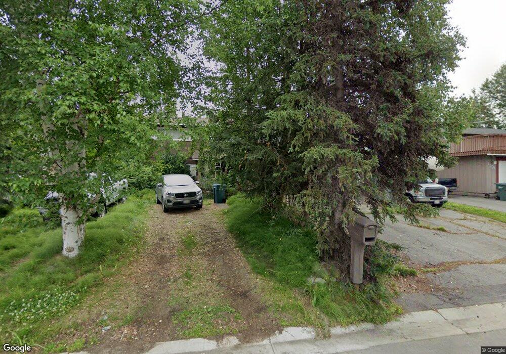
1841 State St Anchorage, AK 99504
Northeast Anchorage NeighborhoodEstimated Value: $258,000 - $442,000
4
Beds
3
Baths
1,920
Sq Ft
$185/Sq Ft
Est. Value
About This Home
This home is located at 1841 State St, Anchorage, AK 99504 and is currently estimated at $354,919, approximately $184 per square foot. 1841 State St is a home located in Anchorage Municipality with nearby schools including Susitna Elementary School, Nicholas J. Begich Middle School, and Bartlett High School.
Ownership History
Date
Name
Owned For
Owner Type
Purchase Details
Closed on
Feb 10, 2023
Sold by
Gartland Michael
Bought by
Eisberg Kelly and Eisberg Taylor
Current Estimated Value
Purchase Details
Closed on
May 29, 2012
Sold by
Gartland Michael and Gartland Esther G
Bought by
Gartland Michael
Home Financials for this Owner
Home Financials are based on the most recent Mortgage that was taken out on this home.
Original Mortgage
$119,515
Interest Rate
3.74%
Mortgage Type
VA
Create a Home Valuation Report for This Property
The Home Valuation Report is an in-depth analysis detailing your home's value as well as a comparison with similar homes in the area
Home Values in the Area
Average Home Value in this Area
Purchase History
| Date | Buyer | Sale Price | Title Company |
|---|---|---|---|
| Eisberg Kelly | -- | -- | |
| Gartland Michael | -- | United Title Guaranty |
Source: Public Records
Mortgage History
| Date | Status | Borrower | Loan Amount |
|---|---|---|---|
| Previous Owner | Gartland Michael | $119,515 |
Source: Public Records
Tax History
| Year | Tax Paid | Tax Assessment Tax Assessment Total Assessment is a certain percentage of the fair market value that is determined by local assessors to be the total taxable value of land and additions on the property. | Land | Improvement |
|---|---|---|---|---|
| 2025 | $5,751 | $386,500 | $92,700 | $293,800 |
| 2024 | $5,751 | $356,200 | $92,700 | $263,500 |
| 2023 | $1,809 | $331,200 | $92,700 | $238,500 |
| 2022 | $2,103 | $324,900 | $92,700 | $232,200 |
| 2021 | $5,305 | $294,400 | $92,700 | $201,700 |
| 2020 | $1,445 | $286,200 | $92,700 | $193,500 |
| 2019 | $1,312 | $280,200 | $92,700 | $187,500 |
| 2018 | $1,153 | $270,300 | $92,700 | $177,600 |
| 2017 | $1,773 | $283,200 | $92,700 | $190,500 |
| 2016 | $1,404 | $280,800 | $90,600 | $190,200 |
| 2015 | $1,404 | $279,000 | $90,600 | $188,400 |
| 2014 | $1,404 | $266,100 | $83,200 | $182,900 |
Source: Public Records
Map
Nearby Homes
- 1801 Greendale Dr
- 1640 Parkway Dr
- 8111 Northview Dr
- 1542 Northview Dr Unit E8
- 1542 Northview Dr Unit E5
- 1541 State St Unit B-3
- 1900 Muldoon Rd
- 2221 Muldoon Rd Unit 280
- 2221 Muldoon Rd Unit 68
- 2221 Muldoon Rd Unit 524
- 8500 Moss Ct Unit 13
- 2291 Duncanshire Place Unit 154
- 1477 Shallow Pool Dr Unit J3
- 1482 Shallow Pool Dr Unit M3
- 8041 Astonshire Ct Unit 85
- 7989 Hillshire Ct Unit 39
- 7515 E 20th Ave
- 8512 Cross Pointe Loop
- 7532 Eastbrook Cir
- 1201 Boston St
- 1901 State St
- 1831 State St
- 1850 Greendale Dr
- 1840 Greendale Dr
- 1911 State St
- 1821 State St
- 1910 Greendale Dr
- 1840 State St
- 1830 State St
- 1830 Greendale Dr
- 1900 State St
- 1820 State St
- 1921 State St
- 1920 Greendale Dr
- 1820 Greendale Dr
- 1811 State St
- 1910 State St
- 1810 State St
- 1800 Parkway Dr
- 1734 Parkway Dr
Your Personal Tour Guide
Ask me questions while you tour the home.