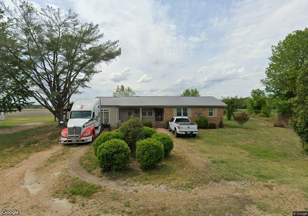
1842 Roy Sutton Rd La Grange, NC 28551
Estimated Value: $181,000 - $233,000
3
Beds
1
Bath
1,582
Sq Ft
$132/Sq Ft
Est. Value
About This Home
This home is located at 1842 Roy Sutton Rd, La Grange, NC 28551 and is currently estimated at $209,072, approximately $132 per square foot. 1842 Roy Sutton Rd is a home located in Lenoir County with nearby schools including La Grange Elementary School, E.B. Frink Middle School, and North Lenoir High School.
Ownership History
Date
Name
Owned For
Owner Type
Purchase Details
Closed on
Feb 2, 2009
Sold by
Faulkner James Conrad and Barwick Faulkner Jessie Bernice
Bought by
Spence Joseph P and Spence Mary Beth
Current Estimated Value
Home Financials for this Owner
Home Financials are based on the most recent Mortgage that was taken out on this home.
Original Mortgage
$71,000
Outstanding Balance
$1,569
Interest Rate
5.23%
Mortgage Type
Seller Take Back
Estimated Equity
$207,503
Create a Home Valuation Report for This Property
The Home Valuation Report is an in-depth analysis detailing your home's value as well as a comparison with similar homes in the area
Home Values in the Area
Average Home Value in this Area
Purchase History
| Date | Buyer | Sale Price | Title Company |
|---|---|---|---|
| Spence Joseph P | $73,000 | -- |
Source: Public Records
Mortgage History
| Date | Status | Borrower | Loan Amount |
|---|---|---|---|
| Open | Spence Joseph P | $71,000 |
Source: Public Records
Tax History
| Year | Tax Paid | Tax Assessment Tax Assessment Total Assessment is a certain percentage of the fair market value that is determined by local assessors to be the total taxable value of land and additions on the property. | Land | Improvement |
|---|---|---|---|---|
| 2025 | $1,446 | $184,967 | $16,761 | $168,206 |
| 2024 | $797 | $76,423 | $13,324 | $63,099 |
| 2023 | $766 | $76,423 | $13,324 | $63,099 |
| 2022 | $766 | $76,423 | $13,324 | $63,099 |
| 2021 | $766 | $76,423 | $13,324 | $63,099 |
| 2020 | $766 | $76,423 | $13,324 | $63,099 |
| 2019 | $766 | $76,423 | $13,324 | $63,099 |
| 2018 | $755 | $76,423 | $13,324 | $63,099 |
| 2017 | $753 | $76,423 | $13,324 | $63,099 |
| 2014 | $723 | $82,587 | $13,324 | $69,263 |
| 2013 | -- | $82,587 | $13,324 | $69,263 |
| 2011 | -- | $82,587 | $13,324 | $69,263 |
Source: Public Records
Map
Nearby Homes
- 0 Albert Sugg Rd Unit 100542612
- 3008 Masters Dr
- 608 Madison Ann Dr
- 2204 Staley Ct
- 3046 Marion Heights Dr
- 2917 Laurel Ridge Ln
- 603 Madison Ann Dr
- 112 Abbey Frank St
- 105 Franklin St
- 2992 Cherry Ln
- 206 Wood St
- 101 Claude St
- 2585 Cabin Branch Rd
- 103 Claude St
- 102 Claude St
- 620 S Caswell St
- 104 Claude St
- 5517 Bulltown Rd
- 107 Claude St
- 108 Claude St
- 1832 Roy Sutton Rd
- 1780 Roy Sutton Rd
- 1760 Roy Sutton Rd
- 3406 Frank Barwick Rd
- 2000 Roy Sutton Rd
- 1997 Roy Sutton Rd
- 3508 Frank Barwick Rd
- 3503 Frank Barwick Rd
- 3831 Harold Sutton Rd
- 3929 Harold Sutton Rd
- 3566 Frank Barwick Rd
- 3858 Harold Sutton Rd
- 3553 Frank Barwick Rd
- 3614 Frank Barwick Rd
- 1675 Roy Sutton Rd
- 3757 Harold Sutton Rd
- 3577 Frank Barwick Rd
- 3600 Frank Barwick Rd
- 3973 Harold Sutton Rd
- 3733 Harold Sutton Rd
Your Personal Tour Guide
Ask me questions while you tour the home.