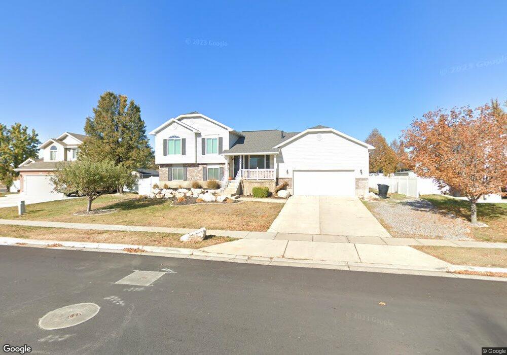
1844 W 1975 S Syracuse, UT 84075
Estimated Value: $468,000 - $568,000
5
Beds
3
Baths
2,047
Sq Ft
$249/Sq Ft
Est. Value
About This Home
This home is located at 1844 W 1975 S, Syracuse, UT 84075 and is currently estimated at $509,551, approximately $248 per square foot. 1844 W 1975 S is a home located in Davis County with nearby schools including Syracuse Elementary School, Syracuse Junior High School, and Syracuse High School.
Ownership History
Date
Name
Owned For
Owner Type
Purchase Details
Closed on
May 2, 2022
Sold by
Daniel Heath
Bought by
Scott Taylor M
Current Estimated Value
Home Financials for this Owner
Home Financials are based on the most recent Mortgage that was taken out on this home.
Original Mortgage
$489,250
Outstanding Balance
$456,749
Interest Rate
4.16%
Mortgage Type
New Conventional
Estimated Equity
$52,802
Purchase Details
Closed on
May 17, 2016
Sold by
Heath Daniel
Bought by
Heath Daniel and Heath Amanda
Purchase Details
Closed on
Jun 24, 1998
Sold by
Wl Homes Llc
Bought by
Levi D Joseph and Levi Natalie A
Home Financials for this Owner
Home Financials are based on the most recent Mortgage that was taken out on this home.
Original Mortgage
$125,685
Interest Rate
7.06%
Mortgage Type
FHA
Create a Home Valuation Report for This Property
The Home Valuation Report is an in-depth analysis detailing your home's value as well as a comparison with similar homes in the area
Home Values in the Area
Average Home Value in this Area
Purchase History
| Date | Buyer | Sale Price | Title Company |
|---|---|---|---|
| Scott Taylor M | -- | Metro National Title | |
| Heath Daniel | -- | Metro National Title | |
| Heath Daniel | -- | Stewart Title | |
| Levi D Joseph | -- | First American Title Co |
Source: Public Records
Mortgage History
| Date | Status | Borrower | Loan Amount |
|---|---|---|---|
| Open | Scott Taylor M | $489,250 | |
| Previous Owner | Levi D Joseph | $125,685 |
Source: Public Records
Tax History
| Year | Tax Paid | Tax Assessment Tax Assessment Total Assessment is a certain percentage of the fair market value that is determined by local assessors to be the total taxable value of land and additions on the property. | Land | Improvement |
|---|---|---|---|---|
| 2025 | $2,674 | $257,950 | $124,377 | $133,573 |
| 2024 | $2,559 | $248,600 | $102,310 | $146,290 |
| 2023 | $2,373 | $420,000 | $142,589 | $277,411 |
| 2022 | $2,420 | $234,850 | $82,156 | $152,694 |
| 2021 | $2,170 | $326,000 | $121,346 | $204,654 |
| 2020 | $1,905 | $277,000 | $105,986 | $171,014 |
| 2019 | $1,825 | $262,000 | $103,253 | $158,747 |
| 2018 | $1,804 | $257,000 | $99,905 | $157,095 |
| 2016 | $1,457 | $108,845 | $38,358 | $70,487 |
| 2015 | $1,393 | $99,165 | $38,358 | $60,807 |
| 2014 | $1,310 | $95,007 | $38,358 | $56,649 |
| 2013 | -- | $90,095 | $32,054 | $58,041 |
Source: Public Records
Map
Nearby Homes
Your Personal Tour Guide
Ask me questions while you tour the home.