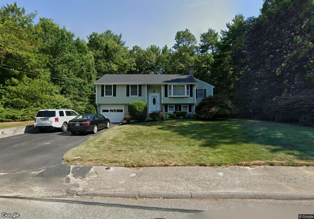
185 Peterson Path Marshfield, MA 02050
Estimated Value: $742,000 - $857,000
4
Beds
2
Baths
1,508
Sq Ft
$528/Sq Ft
Est. Value
About This Home
This home is located at 185 Peterson Path, Marshfield, MA 02050 and is currently estimated at $795,823, approximately $527 per square foot. 185 Peterson Path is a home located in Plymouth County with nearby schools including Governor Edward Winslow School, Furnace Brook Middle School, and Marshfield High School.
Ownership History
Date
Name
Owned For
Owner Type
Purchase Details
Closed on
Nov 2, 2018
Sold by
Fucillo Michael W and Fucillo Laura E
Bought by
Fucillo Ft and Fucillo
Current Estimated Value
Create a Home Valuation Report for This Property
The Home Valuation Report is an in-depth analysis detailing your home's value as well as a comparison with similar homes in the area
Home Values in the Area
Average Home Value in this Area
Purchase History
| Date | Buyer | Sale Price | Title Company |
|---|---|---|---|
| Fucillo Ft | -- | -- |
Source: Public Records
Tax History
| Year | Tax Paid | Tax Assessment Tax Assessment Total Assessment is a certain percentage of the fair market value that is determined by local assessors to be the total taxable value of land and additions on the property. | Land | Improvement |
|---|---|---|---|---|
| 2025 | $7,510 | $758,600 | $303,300 | $455,300 |
| 2024 | $7,226 | $695,500 | $288,800 | $406,700 |
| 2023 | $6,746 | $621,200 | $268,200 | $353,000 |
| 2022 | $6,746 | $520,900 | $237,200 | $283,700 |
| 2021 | $6,586 | $499,300 | $237,200 | $262,100 |
| 2020 | $6,309 | $473,300 | $216,600 | $256,700 |
| 2019 | $6,109 | $456,600 | $216,600 | $240,000 |
| 2018 | $5,927 | $443,300 | $216,600 | $226,700 |
| 2017 | $5,712 | $416,300 | $216,600 | $199,700 |
| 2016 | $5,630 | $405,600 | $216,600 | $189,000 |
| 2015 | $5,390 | $405,600 | $216,600 | $189,000 |
| 2014 | $5,021 | $377,800 | $216,600 | $161,200 |
Source: Public Records
Map
Nearby Homes
- 116 Outlook Rd
- 45 Red Gold Farm Rd
- 555 Webster St
- 568 Webster St
- 184 King Phillips Pathe
- 585 Careswell St
- 412 Moraine St
- 118 Enterprise St
- 431 Moraine St
- 66 Simmons Dr
- 42 Carr Rd
- 11 Simmons Dr
- 4 Rachael's Ln
- 315 Church St
- 30 Chandler Dr
- 6 Maple Ln
- 1 John St
- 74 Teakettle Ln
- 92 Salt Meadow Waye
- Two Railroad Ave Unit 9
- 193 Peterson Path
- 177 Peterson Path
- 182 Peterson Path
- 194 Peterson Path
- 203 Peterson Path
- 167 Peterson Path
- 170 Peterson Path
- 24 Grace Ln
- 204 Peterson Path
- 12 Grace Ln
- 213 Peterson Path
- 213 Peterson Path Unit 213
- 61 Travelers Ln
- 121 Signal Hill Rd
- 158 Peterson Path
- 55 Travelers Ln
- 214 Peterson Path
- 69 Travelers Ln
- 227 Peterson Path
- 23 Grace Ln
Your Personal Tour Guide
Ask me questions while you tour the home.