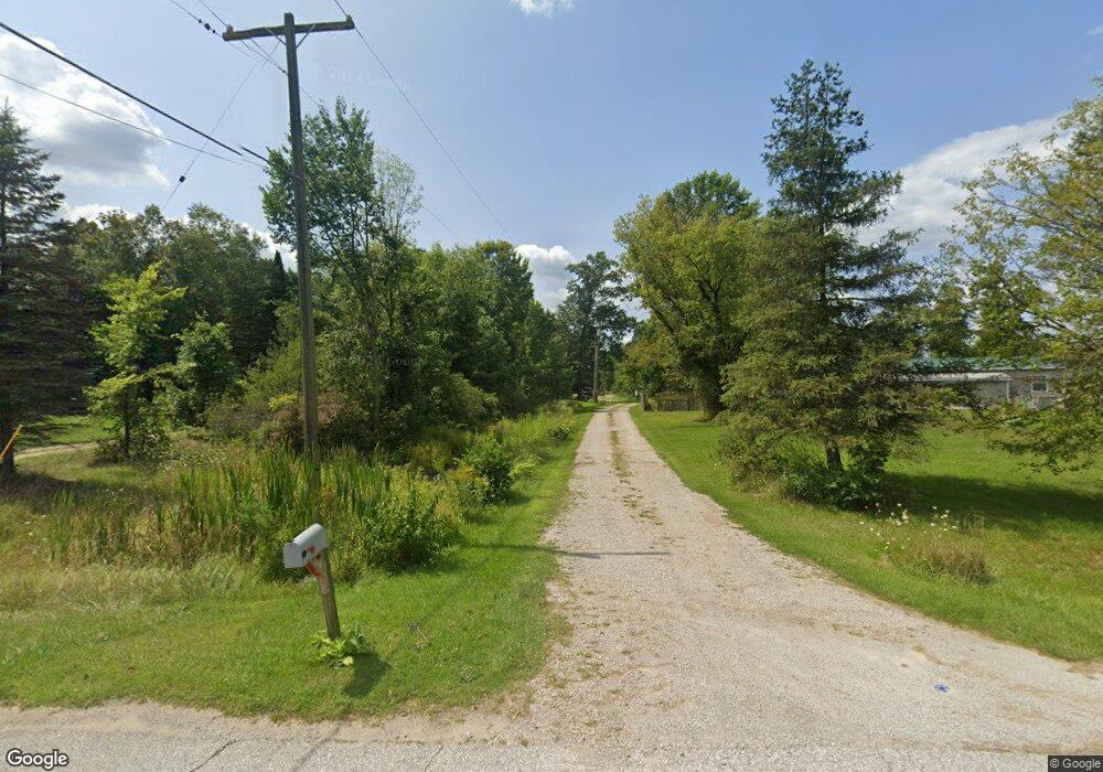
1855 Leland Rd Kimball, MI 48074
Estimated Value: $229,000 - $384,000
3
Beds
2
Baths
1,620
Sq Ft
$184/Sq Ft
Est. Value
About This Home
This home is located at 1855 Leland Rd, Kimball, MI 48074 and is currently estimated at $297,469, approximately $183 per square foot. 1855 Leland Rd is a home located in St. Clair County with nearby schools including Kimball Elementary School, Central Middle School, and Port Huron High School.
Ownership History
Date
Name
Owned For
Owner Type
Purchase Details
Closed on
Feb 13, 2019
Sold by
Hornby Timothy A
Bought by
Hornby Kristen L
Current Estimated Value
Purchase Details
Closed on
May 6, 2008
Sold by
Hall Harvey B
Bought by
Hornby Timothy A and Hornby Kristen L
Purchase Details
Closed on
Mar 17, 2008
Sold by
Hall Harvey B
Bought by
Hornby Timothy and Hornby Kristen
Purchase Details
Closed on
May 3, 2006
Sold by
Hall Geraldine
Bought by
Hall Harvey Brian
Create a Home Valuation Report for This Property
The Home Valuation Report is an in-depth analysis detailing your home's value as well as a comparison with similar homes in the area
Home Values in the Area
Average Home Value in this Area
Purchase History
We collect this data history from publicly available records. To have your information removed, we recommend requesting removal directly through your county’s website.
| Date | Buyer | Sale Price | Title Company |
|---|---|---|---|
| Hornby Kristen L | -- | None Available | |
| Hornby Timothy A | -- | None Available | |
| Hornby Timothy | -- | None Available | |
| Hall Harvey Brian | -- | None Available |
Source: Public Records
Tax History
| Year | Tax Paid | Tax Assessment Tax Assessment Total Assessment is a certain percentage of the fair market value that is determined by local assessors to be the total taxable value of land and additions on the property. | Land | Improvement |
|---|---|---|---|---|
| 2025 | $1,388 | $170,500 | $0 | $0 |
| 2024 | $1,347 | $155,300 | $0 | $0 |
| 2023 | $1,234 | $151,900 | $0 | $0 |
| 2022 | $2,258 | $129,600 | $0 | $0 |
| 2020 | $2,126 | $120,500 | $120,500 | $0 |
| 2019 | $2,215 | $102,200 | $0 | $0 |
| 2018 | $2,173 | $83,000 | $0 | $0 |
| 2017 | $2,048 | $81,800 | $0 | $0 |
| 2016 | $1,005 | $81,800 | $0 | $0 |
| 2015 | -- | $79,500 | $79,500 | $0 |
| 2014 | -- | $70,600 | $70,600 | $0 |
| 2013 | -- | $72,400 | $0 | $0 |
Source: Public Records
Map
Nearby Homes
- V/L Allen
- 4654 Davidson Rd
- 1918 Harvey Rd
- 1908 Range Rd
- 00 Howard Rd
- 1405 Range Rd
- 0000 Range Rd
- 00 Range Rd
- 4602 Howard Rd
- 0 Allen Rd Unit 20250008612
- 0 Wall Rd Unit 50185999
- 4118 Griswold Rd
- 1792 Meadowlark Ln
- 0 Lapeer Rd Unit 50137357
- 0 Range Vl Rd
- 2396 Wadhams Rd
- 269 Westbrook Ct
- 0 Ravenswood Rd Unit 20251017048
- 0000 Ravenswood Rd
- 284 Rosebud Ct
Your Personal Tour Guide
Ask me questions while you tour the home.