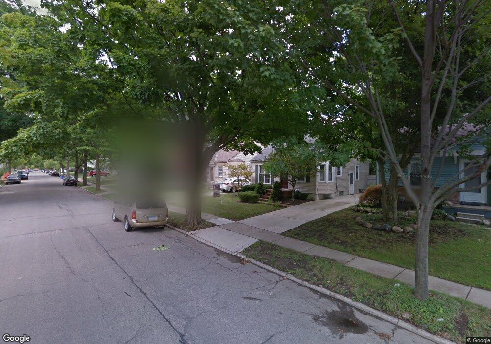
1859 Cole St Birmingham, MI 48009
Birmingham AreaEstimated Value: $405,882 - $498,000
About This Home
This home is located at 1859 Cole St, Birmingham, MI 48009 and is currently estimated at $458,721, approximately $447 per square foot. 1859 Cole St is a home located in Oakland County with nearby schools including Pembroke Elementary School, Derby Middle School, and Ernest W. Seaholm High School.
Ownership History
We collect this data history from publicly available records. To have your information removed, we recommend requesting removal directly through your county’s website.
Purchase Details
Purchase Details
Home Values in the Area
Average Home Value in this Area
Purchase History
We collect this data history from publicly available records. To have your information removed, we recommend requesting removal directly through your county’s website.
| Date | Buyer | Sale Price | Title Company |
|---|---|---|---|
| $210,000 | Parks Title | ||
| $160,000 | -- |
Mortgage History
We collect this data history from publicly available records. To have your information removed, we recommend requesting removal directly through your county’s website.
| Date | Status | Borrower | Loan Amount |
|---|---|---|---|
| Open | $9,247 | ||
| Open | $212,000 | ||
| Closed | $21,500 |
Tax History
We collect this data history from publicly available records. To have your information removed, we recommend requesting removal directly through your county’s website.
| Year | Tax Paid | Tax Assessment Tax Assessment Total Assessment is a certain percentage of the fair market value that is determined by local assessors to be the total taxable value of land and additions on the property. | Land | Improvement |
|---|---|---|---|---|
| 2025 | $3,010 | $181,710 | $0 | $0 |
| 2024 | $2,926 | $169,150 | $0 | $0 |
| 2023 | $2,846 | $151,530 | $0 | $0 |
| 2022 | $3,017 | $144,020 | $0 | $0 |
| 2021 | $3,148 | $127,580 | $0 | $0 |
| 2020 | $2,961 | $120,830 | $0 | $0 |
| 2019 | $3,161 | $113,240 | $0 | $0 |
| 2018 | $2,821 | $105,910 | $0 | $0 |
| 2017 | $2,819 | $103,300 | $0 | $0 |
| 2016 | $2,696 | $100,370 | $0 | $0 |
| 2015 | -- | $95,360 | $0 | $0 |
| 2014 | -- | $71,870 | $0 | $0 |
| 2011 | -- | $56,490 | $0 | $0 |
Map
- 1815 E Lincoln St
- 1840 Holland St
- 1810 Holland St
- 1982 E Lincoln St
- 1982 Haynes St
- 1909 W Melton Rd
- 1257 S Eton St
- 1845 Humphrey Ave
- 1790 Humphrey Ave
- 1708 Humphrey Ave
- 1815 Bowers St
- 1998 Hazel St
- 1469 Holland St
- 1421 Holland St
- 1748 Banbury St
- 1821 Hazel St
- 1335 Webster St
- 1777 Hazel St
- 1493 E Melton Rd
- 1320 Cole St
Ask me questions while you tour the home.