1859 Locust Rd Morris, IL 60450
Estimated Value: $400,000 - $493,000
About This Home
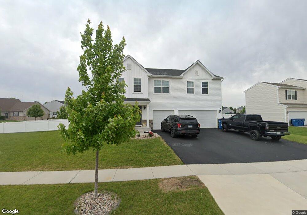
This home is located at 1859 Locust Rd, Morris, IL 60450 and is currently estimated at $450,295. 1859 Locust Rd is a home with nearby schools including Saratoga Elementary School, Morris Community High School, and Immaculate Conception School.
Ownership History
We collect this data history from publicly available records. To have your information removed, we recommend requesting removal directly through your county’s website.
Purchase Details
Home Financials for this Owner
Home Financials are based on the most recent Mortgage that was taken out on this home.Purchase Details
Purchase History
We collect this data history from publicly available records. To have your information removed, we recommend requesting removal directly through your county’s website.
| Date | Buyer | Sale Price | Title Company |
|---|---|---|---|
| $351,219 | Eastern Title | ||
| $295,000 | Greater Illinois Title |
Mortgage History
We collect this data history from publicly available records. To have your information removed, we recommend requesting removal directly through your county’s website.
| Date | Status | Borrower | Loan Amount |
|---|---|---|---|
| Previous Owner | $333,650 |
Tax History
We collect this data history from publicly available records. To have your information removed, we recommend requesting removal directly through your county’s website.
| Year | Tax Paid | Tax Assessment Tax Assessment Total Assessment is a certain percentage of the fair market value that is determined by local assessors to be the total taxable value of land and additions on the property. | Land | Improvement |
|---|---|---|---|---|
| 2024 | $9,921 | $136,705 | $14,362 | $122,343 |
| 2023 | $9,941 | $136,987 | $16,669 | $120,318 |
| 2022 | $8,553 | $128,857 | $15,680 | $113,177 |
| 2021 | $8,182 | $117,073 | $14,679 | $102,394 |
| 2020 | $64 | $855 | $855 | $0 |
| 2019 | $64 | $855 | $855 | $0 |
| 2018 | $64 | $857 | $857 | $0 |
| 2017 | $63 | $839 | $839 | $0 |
| 2016 | $61 | $813 | $813 | $0 |
| 2015 | $30 | $801 | $801 | $0 |
| 2014 | $28 | $761 | $761 | $0 |
| 2013 | $29 | $790 | $790 | $0 |
Map
- 0000 Locust Rd
- 1938 Mountain Rd
- 2016 Red Willow
- 1940 Taller Rd
- Lot 79.2 Periwinkle Ct
- Lot 79.1 Periwinkle Ct
- 1539 W Us Route 6
- 000 Anne Ln
- 00 Anne Ln
- 0 Anne Ln
- 374 Edgewater Dr
- Lot 3,4,5,7,8 Edgewater Dr
- 2666 Beyer Rd
- 1716 Kingtree Dr
- 2099 Kingtree Dr
- 0000 Lakewood Dr
- 1180 Lakewood Dr
- 1041 Lakeview Dr
- Lot 58 Timber Edge Dr
- 1028 Oakwood Dr
- 1873 Locust Rd
- 1880 Harbor Dr
- 1887 Locust Rd
- 1868 Harbor Dr
- 1869 Harbor Dr
- 1875 Harbor Dr
- 1856 Locust Rd
- 1886 Harbor Dr
- 1881 Harbor Dr
- 1868 Locust Rd
- 1863 Harbor Dr
- 1862 Harbor Dr
- 1892 Harbor Dr
- 1887 Harbor Dr
- 1893 Harbor Dr
- 1867 Sunflower Ct
- 1820 Locust Rd
- 1913 Cherry Ct
- 1778 Eagle Dr
- 1857 Harbor Dr
Ask me questions while you tour the home.