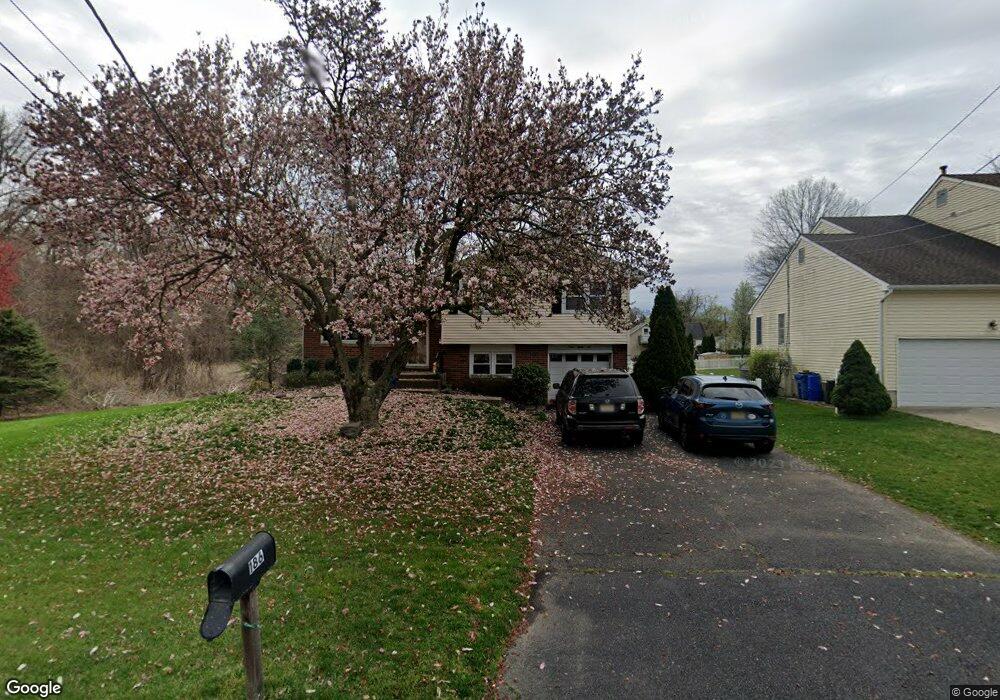
186 Stanley Ave Moorestown, NJ 08057
Estimated Value: $410,558 - $530,000
Studio
--
Bath
1,413
Sq Ft
$341/Sq Ft
Est. Value
About This Home
This home is located at 186 Stanley Ave, Moorestown, NJ 08057 and is currently estimated at $481,640, approximately $340 per square foot. 186 Stanley Ave is a home located in Burlington County with nearby schools including George C. Baker Elementary School, Moorestown Upper Elementary School, and William Allen Middle School.
Ownership History
Date
Name
Owned For
Owner Type
Purchase Details
Closed on
Dec 30, 1998
Sold by
Kureshi Makbul M and Kureshi Fatma M
Bought by
Eaise Mark W and Eaise Kelly L
Current Estimated Value
Home Financials for this Owner
Home Financials are based on the most recent Mortgage that was taken out on this home.
Original Mortgage
$122,250
Outstanding Balance
$28,453
Interest Rate
6.8%
Mortgage Type
VA
Estimated Equity
$453,187
Create a Home Valuation Report for This Property
The Home Valuation Report is an in-depth analysis detailing your home's value as well as a comparison with similar homes in the area
Home Values in the Area
Average Home Value in this Area
Purchase History
| Date | Buyer | Sale Price | Title Company |
|---|---|---|---|
| Eaise Mark W | $119,900 | -- |
Source: Public Records
Mortgage History
| Date | Status | Borrower | Loan Amount |
|---|---|---|---|
| Open | Eaise Mark W | $122,250 |
Source: Public Records
Tax History
| Year | Tax Paid | Tax Assessment Tax Assessment Total Assessment is a certain percentage of the fair market value that is determined by local assessors to be the total taxable value of land and additions on the property. | Land | Improvement |
|---|---|---|---|---|
| 2025 | $7,186 | $253,300 | $143,300 | $110,000 |
| 2024 | $6,968 | $253,300 | $143,300 | $110,000 |
| 2023 | $6,968 | $253,300 | $143,300 | $110,000 |
| 2022 | $6,897 | $253,300 | $143,300 | $110,000 |
| 2021 | $6,806 | $253,300 | $143,300 | $110,000 |
| 2020 | $6,763 | $253,300 | $143,300 | $110,000 |
| 2019 | $6,644 | $253,300 | $143,300 | $110,000 |
| 2018 | $6,464 | $253,300 | $143,300 | $110,000 |
| 2017 | $6,520 | $253,300 | $143,300 | $110,000 |
| 2016 | $6,497 | $253,300 | $143,300 | $110,000 |
| 2015 | $6,419 | $253,300 | $143,300 | $110,000 |
| 2014 | $6,094 | $253,300 | $143,300 | $110,000 |
Source: Public Records
Map
Nearby Homes
- 705 Iron Post Rd
- 543 Bethel Ave
- 11 W Spruce Ave
- 611 New Albany Rd
- 307 Fairview Ave
- 401 W 3rd St
- 117 W Central Ave
- 1416 Georgian Dr
- 2 Oriole Way
- 904 Heritage Rd
- 500 Chester Ave
- 444 Shady Ln
- 17 Cardinal Dr
- 242 Center St
- 129 S Church St
- 66 E 3rd St
- 10 E Close Unit 10EAST
- 80 E 3rd St
- 601 Stratford Dr
- 2801 Riverton Rd
- 190 Stanley Ave
- 183 Lorraine Ave
- 192 Stanley Ave
- 187 Lorraine Ave
- 183 Stanley Ave
- 187 Stanley Ave
- 193 Lorraine Ave
- 191 Stanley Ave
- 196 Stanley Ave
- 195 Stanley Ave
- 198 Stanley Ave
- 195 Lorraine Ave
- 186 Perry Ave
- 186 Lorraine Ave
- 188 Perry Ave
- 182 Lorraine Ave
- 188 Lorraine Ave
- 197 Stanley Ave
- 192 Perry Ave
- 192 Lorraine Ave
Your Personal Tour Guide
Ask me questions while you tour the home.