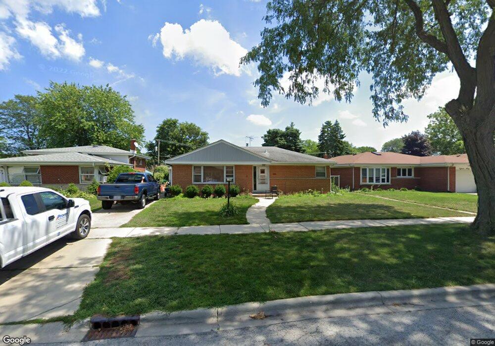
1863 Locust St Des Plaines, IL 60018
Estimated Value: $314,000 - $361,767
2
Beds
2
Baths
1,033
Sq Ft
$324/Sq Ft
Est. Value
About This Home
This home is located at 1863 Locust St, Des Plaines, IL 60018 and is currently estimated at $334,692, approximately $324 per square foot. 1863 Locust St is a home located in Cook County with nearby schools including South Elementary School, Algonquin Middle School, and Maine West High School.
Ownership History
Date
Name
Owned For
Owner Type
Purchase Details
Closed on
Feb 28, 2017
Sold by
Christie Donna
Bought by
Fernandez Jesus D
Current Estimated Value
Home Financials for this Owner
Home Financials are based on the most recent Mortgage that was taken out on this home.
Original Mortgage
$176,739
Outstanding Balance
$150,413
Interest Rate
5.5%
Mortgage Type
FHA
Estimated Equity
$184,279
Purchase Details
Closed on
Oct 17, 1996
Sold by
Walter Erich P and Walter Debra L
Bought by
Grenda Michal
Create a Home Valuation Report for This Property
The Home Valuation Report is an in-depth analysis detailing your home's value as well as a comparison with similar homes in the area
Home Values in the Area
Average Home Value in this Area
Purchase History
We collect this data history from publicly available records. To have your information removed, we recommend requesting removal directly through your county’s website.
| Date | Buyer | Sale Price | Title Company |
|---|---|---|---|
| Fernandez Jesus D | $180,000 | None Available | |
| Grenda Michal | -- | -- |
Source: Public Records
Mortgage History
We collect this data history from publicly available records. To have your information removed, we recommend requesting removal directly through your county’s website.
| Date | Status | Borrower | Loan Amount |
|---|---|---|---|
| Open | Fernandez Jesus D | $176,739 |
Source: Public Records
Tax History
| Year | Tax Paid | Tax Assessment Tax Assessment Total Assessment is a certain percentage of the fair market value that is determined by local assessors to be the total taxable value of land and additions on the property. | Land | Improvement |
|---|---|---|---|---|
| 2025 | $5,695 | $31,000 | $7,113 | $23,887 |
| 2024 | $5,695 | $23,757 | $5,927 | $17,830 |
| 2023 | $5,531 | $24,915 | $5,927 | $18,988 |
| 2022 | $5,531 | $24,915 | $5,927 | $18,988 |
| 2021 | $4,413 | $17,687 | $4,939 | $12,748 |
| 2020 | $4,407 | $17,687 | $4,939 | $12,748 |
| 2019 | $4,425 | $19,873 | $4,939 | $14,934 |
| 2018 | $4,356 | $18,000 | $4,346 | $13,654 |
| 2017 | $6,295 | $21,427 | $4,346 | $17,081 |
| 2016 | $1,905 | $21,427 | $4,346 | $17,081 |
| 2015 | $2,177 | $16,139 | $3,753 | $12,386 |
| 2014 | $2,087 | $16,139 | $3,753 | $12,386 |
| 2013 | $2,083 | $16,139 | $3,753 | $12,386 |
Source: Public Records
Map
Nearby Homes
- 1640 S River Rd
- 1693 Linden St
- 2067 Sherwin Ave
- 1990 Berry Ln
- 1857 Pine St
- 1634 E Forest Ave
- 1509 Center St
- 1280 S River Rd
- 1738 Whitcomb Ave
- 2129 Ash St Unit G
- 1678 Ash St
- 1370 Fargo Ave Unit E
- 1641 E Touhy Ave
- 1629 E Touhy Ave
- 38 E Touhy Ave
- 1220 S River Rd
- 700 Florence Dr
- 2469 Parkwood Ln
- 75 Boardwalk Place Unit 203
- 1495 E Algonquin Rd
Your Personal Tour Guide
Ask me questions while you tour the home.