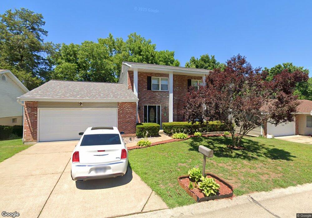
1869 Marriott Ln Barnhart, MO 63012
Estimated Value: $234,955 - $321,000
About This Home
This home is located at 1869 Marriott Ln, Barnhart, MO 63012 and is currently estimated at $271,989, approximately $218 per square foot. 1869 Marriott Ln is a home located in Jefferson County with nearby schools including Windsor High School and St. Joseph Catholic School.
Ownership History
We collect this data history from publicly available records. To have your information removed, we recommend requesting removal directly through your county’s website.
Purchase Details
Home Financials for this Owner
Home Financials are based on the most recent Mortgage that was taken out on this home.Home Values in the Area
Average Home Value in this Area
Purchase History
We collect this data history from publicly available records. To have your information removed, we recommend requesting removal directly through your county’s website.
| Date | Buyer | Sale Price | Title Company |
|---|---|---|---|
| $51,870 | -- |
Mortgage History
We collect this data history from publicly available records. To have your information removed, we recommend requesting removal directly through your county’s website.
| Date | Status | Borrower | Loan Amount |
|---|---|---|---|
| Open | $39,000 |
Tax History
We collect this data history from publicly available records. To have your information removed, we recommend requesting removal directly through your county’s website.
| Year | Tax Paid | Tax Assessment Tax Assessment Total Assessment is a certain percentage of the fair market value that is determined by local assessors to be the total taxable value of land and additions on the property. | Land | Improvement |
|---|---|---|---|---|
| 2025 | $2,381 | $34,800 | $4,800 | $30,000 |
| 2024 | $2,381 | $32,500 | $4,800 | $27,700 |
| 2023 | $2,381 | $32,500 | $4,800 | $27,700 |
| 2022 | $2,194 | $30,000 | $2,300 | $27,700 |
| 2021 | $2,196 | $30,000 | $2,300 | $27,700 |
| 2020 | $2,029 | $26,900 | $1,900 | $25,000 |
| 2019 | $2,026 | $26,900 | $1,900 | $25,000 |
| 2018 | $1,999 | $26,900 | $1,900 | $25,000 |
| 2017 | $1,923 | $26,900 | $1,900 | $25,000 |
| 2016 | $1,743 | $24,300 | $1,900 | $22,400 |
| 2015 | $1,739 | $24,300 | $1,900 | $22,400 |
| 2013 | -- | $24,100 | $1,900 | $22,200 |
Map
- 1955 Parkton Way
- 1910 Catlin Dr
- 000 State Road M
- 1660 Old State Road M
- 2042 Catlin Dr
- 7001 Wayles Dr
- 6788 Haven Hill Rd
- 1767 Williamsburg Dr
- 2192 Meadow Dr
- 7213 Burgess Dr
- 2262 Castlegate Dr
- 7098 Ridge Dr
- 1962 Birchwood Dr
- 1530 1st St
- 7283 Meriwether Ct
- 129 Blue Spruce Ct
- 2135 Birchwood Dr
- 2115 Ayrshire Ct
- 2350 Fountain Dr
- 2727 Red Maple Dr
- 1875 Marriott Ln
- 1863 Marriott Ln
- 1885 Marriott Ln
- 1855 Marriott Ln
- 1864 Marriott Ln
- 1870 Marriott Ln
- 1876 Marriott Ln
- 1889 Marriott Ln
- 1882 Marriott Ln
- 1851 Marriott Ln
- 1888 Marriott Ln
- 1891 Marriott Ln
- 1852 Marriott Ln
- 090 +/- Acres West of Parkton
- 1845 Marriott Ln
- 1914 Parkton Way
- 1879 Clemens Ct
- 1883 Clemens Ct
- 1873 Clemens Ct
- 1895 Marriott Ln
Ask me questions while you tour the home.