Estimated Value: $107,000 - $228,198
3
Beds
2
Baths
1,700
Sq Ft
$89/Sq Ft
Est. Value
About This Home
This home is located at 187 Falcon Rd, Olla, LA 71465 and is currently estimated at $151,066, approximately $88 per square foot. 187 Falcon Rd is a home located in La Salle Parish.
Ownership History
Date
Name
Owned For
Owner Type
Purchase Details
Closed on
Feb 26, 2020
Sold by
Norris Kenneth Virgil and Norris Christine Martha
Bought by
Thacker Freddie Evan and Thacker Lennie Delaine
Current Estimated Value
Home Financials for this Owner
Home Financials are based on the most recent Mortgage that was taken out on this home.
Original Mortgage
$130,000
Outstanding Balance
$113,887
Interest Rate
3.5%
Mortgage Type
New Conventional
Estimated Equity
$37,179
Create a Home Valuation Report for This Property
The Home Valuation Report is an in-depth analysis detailing your home's value as well as a comparison with similar homes in the area
Purchase History
| Date | Buyer | Sale Price | Title Company |
|---|---|---|---|
| Thacker Freddie Evan | $88,000 | None Available |
Source: Public Records
Mortgage History
| Date | Status | Borrower | Loan Amount |
|---|---|---|---|
| Open | Thacker Freddie Evan | $130,000 |
Source: Public Records
Tax History
| Year | Tax Paid | Tax Assessment Tax Assessment Total Assessment is a certain percentage of the fair market value that is determined by local assessors to be the total taxable value of land and additions on the property. | Land | Improvement |
|---|---|---|---|---|
| 2025 | $1,763 | $12,869 | $235 | $12,634 |
| 2024 | $1,763 | $12,869 | $235 | $12,634 |
| 2023 | $1,378 | $8,830 | $240 | $8,590 |
| 2022 | $1,378 | $8,830 | $240 | $8,590 |
| 2021 | $1,378 | $8,830 | $240 | $8,590 |
| 2020 | $1,456 | $8,830 | $240 | $8,590 |
| 2019 | $1,781 | $10,680 | $240 | $10,440 |
| 2018 | $1,781 | $10,680 | $240 | $10,440 |
| 2017 | $1,781 | $10,680 | $240 | $10,440 |
| 2016 | $1,781 | $10,680 | $240 | $10,440 |
| 2015 | $1,743 | $10,080 | $230 | $9,850 |
| 2013 | $1,743 | $10,080 | $230 | $9,850 |
Source: Public Records
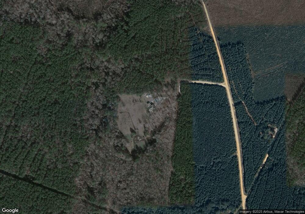
Map
Nearby Homes
- 0 Louisiana 771
- 2075 Hemphill Dr
- 1968 Dogwood Dr
- 1580 Nugent St
- 727 Browntown Rd
- 00 Austin Rd
- 1116 Hudson St
- 1663 Rick St
- T-1 Louisiana 127
- T-2 Louisiana 127
- 00 U S 84
- 610 Pecan St
- 1685 Hodges St
- 5906 Aimwell Rd
- 1474 Jackson St
- 1654 S 4th St
- 1083 Holmes Dr
- 190 Coleman Valley Loop
- 353 Greens Creek Rd
- 1093 Hickory
Your Personal Tour Guide
Ask me questions while you tour the home.