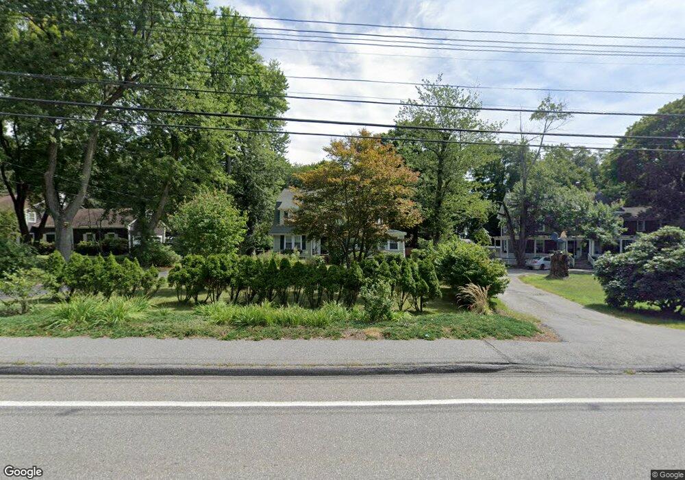
187 Maple Ave Shrewsbury, MA 01545
Estimated Value: $591,000 - $721,000
3
Beds
2
Baths
1,978
Sq Ft
$324/Sq Ft
Est. Value
About This Home
This home is located at 187 Maple Ave, Shrewsbury, MA 01545 and is currently estimated at $640,087, approximately $323 per square foot. 187 Maple Ave is a home located in Worcester County with nearby schools including Sherwood Middle School, Floral Street School, and Oak Middle School.
Ownership History
Date
Name
Owned For
Owner Type
Purchase Details
Closed on
Jul 28, 1995
Sold by
Tieso John J and Tieso Andrea
Bought by
Mulcahy Mark and Cullen Veronica
Current Estimated Value
Home Financials for this Owner
Home Financials are based on the most recent Mortgage that was taken out on this home.
Original Mortgage
$149,000
Interest Rate
7.56%
Mortgage Type
Purchase Money Mortgage
Purchase Details
Closed on
Oct 22, 1993
Sold by
Ton Patricia M
Bought by
Tieso John J and Tiesco Andrea
Create a Home Valuation Report for This Property
The Home Valuation Report is an in-depth analysis detailing your home's value as well as a comparison with similar homes in the area
Home Values in the Area
Average Home Value in this Area
Purchase History
| Date | Buyer | Sale Price | Title Company |
|---|---|---|---|
| Mulcahy Mark | $157,000 | -- | |
| Mulcahy Mark | $157,000 | -- | |
| Tieso John J | $151,000 | -- | |
| Tieso John J | $151,000 | -- |
Source: Public Records
Mortgage History
| Date | Status | Borrower | Loan Amount |
|---|---|---|---|
| Open | Tieso John J | $185,000 | |
| Closed | Tieso John J | $175,000 | |
| Closed | Tieso John J | $149,000 |
Source: Public Records
Tax History
| Year | Tax Paid | Tax Assessment Tax Assessment Total Assessment is a certain percentage of the fair market value that is determined by local assessors to be the total taxable value of land and additions on the property. | Land | Improvement |
|---|---|---|---|---|
| 2025 | $65 | $539,000 | $261,300 | $277,700 |
| 2024 | $6,327 | $511,100 | $248,800 | $262,300 |
| 2023 | $6,141 | $468,100 | $248,800 | $219,300 |
| 2022 | $6,064 | $429,800 | $248,800 | $181,000 |
| 2021 | $4,846 | $367,400 | $199,100 | $168,300 |
| 2020 | $4,581 | $367,400 | $199,100 | $168,300 |
| 2019 | $4,435 | $352,800 | $182,800 | $170,000 |
| 2018 | $4,130 | $326,200 | $175,500 | $150,700 |
| 2017 | $3,872 | $301,800 | $158,800 | $143,000 |
| 2016 | $3,732 | $287,100 | $148,800 | $138,300 |
| 2015 | $3,730 | $282,600 | $144,300 | $138,300 |
Source: Public Records
Map
Nearby Homes
- 15 Conifer Cir Unit 31
- 5 Conifer Cir Unit 28
- 86 Harriet Ave
- 24 Williamsburg Ct Unit 21
- 21 Janet Cir
- 69 Lake St
- Lot 386R Clover Glen Cir
- 43 Manor Rd
- 9 Arnold Rd
- 114 Grafton St
- 515 Main St
- 17 Stone Ave
- 77 -79 Harrington Ave
- 9 Howe Ave
- 97 Francis Ave
- 6 Crane Cir
- 647 Main St
- 27 Bruce Ave
- 4 Old Cart Rd
- 5 Fyrbeck Ave
- 191 Maple Ave
- 181 Maple Ave
- 129 A-B Maple Ave
- 1 Oak St
- 189 Maple Ave
- 3 Oak St
- 175 Maple Ave
- 12 Hutchins St Unit 14
- 8 Oak St Unit 11,8
- 08 Oak St Unit 24-08
- 08 Oak St Unit 22 8
- 08 Oak St Unit 21-08
- 11 Oak St
- 10 Oak St Unit 2--10
- 10 Oak St Unit 10,2
- 10 Oak St Unit 22 10
- 10 Oak St Unit 11 10
- 16 Hutchins St Unit 18
- 201 Maple Ave
- 24 Hutchins St
Your Personal Tour Guide
Ask me questions while you tour the home.