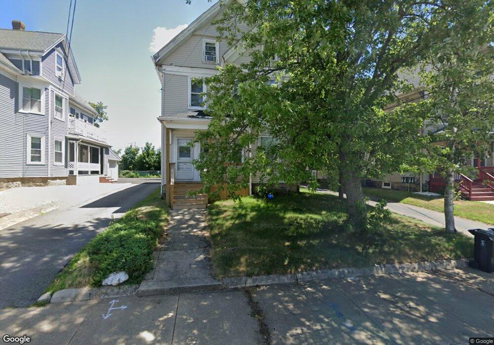
187 Spark St Brockton, MA 02302
Montello NeighborhoodEstimated Value: $360,000 - $789,000
6
Beds
2
Baths
2,874
Sq Ft
$225/Sq Ft
Est. Value
About This Home
This home is located at 187 Spark St, Brockton, MA 02302 and is currently estimated at $648,034, approximately $225 per square foot. 187 Spark St is a home located in Plymouth County with nearby schools including Brookfield Elementary School, Mary E. Baker Elementary School, and Downey Elementary School.
Ownership History
Date
Name
Owned For
Owner Type
Purchase Details
Closed on
May 5, 2010
Sold by
Richards Walter A and Richards Marjorie E
Bought by
Richards Ft
Current Estimated Value
Purchase Details
Closed on
Apr 29, 1991
Sold by
Harris Ida M
Bought by
Richards Walter A and Richards Marjorie E
Home Financials for this Owner
Home Financials are based on the most recent Mortgage that was taken out on this home.
Original Mortgage
$54,600
Interest Rate
9.41%
Mortgage Type
Purchase Money Mortgage
Create a Home Valuation Report for This Property
The Home Valuation Report is an in-depth analysis detailing your home's value as well as a comparison with similar homes in the area
Home Values in the Area
Average Home Value in this Area
Purchase History
| Date | Buyer | Sale Price | Title Company |
|---|---|---|---|
| Richards Ft | -- | -- | |
| Richards Walter A | $80,000 | -- |
Source: Public Records
Mortgage History
| Date | Status | Borrower | Loan Amount |
|---|---|---|---|
| Previous Owner | Richards Walter A | $54,600 |
Source: Public Records
Tax History
| Year | Tax Paid | Tax Assessment Tax Assessment Total Assessment is a certain percentage of the fair market value that is determined by local assessors to be the total taxable value of land and additions on the property. | Land | Improvement |
|---|---|---|---|---|
| 2025 | $7,522 | $621,100 | $136,200 | $484,900 |
| 2024 | $6,782 | $564,200 | $136,200 | $428,000 |
| 2023 | $5,871 | $452,300 | $101,900 | $350,400 |
| 2022 | $5,608 | $401,400 | $92,400 | $309,000 |
| 2021 | $5,177 | $357,000 | $76,400 | $280,600 |
| 2020 | $4,059 | $267,900 | $72,100 | $195,800 |
| 2019 | $4,566 | $293,800 | $69,600 | $224,200 |
| 2018 | $3,949 | $245,900 | $69,600 | $176,300 |
| 2017 | $4,312 | $267,800 | $69,600 | $198,200 |
| 2016 | $3,611 | $208,000 | $67,500 | $140,500 |
| 2015 | $3,124 | $172,100 | $67,500 | $104,600 |
| 2014 | $2,970 | $163,800 | $67,500 | $96,300 |
Source: Public Records
Map
Nearby Homes
- 191 Spark St
- 183 Spark St
- 183 Spark St Unit 3
- 183 Spark St Unit 185/unit 3
- 195 Spark St
- 201 Spark St
- 20 Sylvan St
- 25 Winter St
- 5 Winter St Unit 2
- 5 Winter St
- 27 Winter St Unit 2
- 39 Winter St
- 20 Winter St
- 12 Winter St
- 12 Winter St Unit 1st
- 33 Winter St
- 14 Winter St Unit 1
- 10 Douglas Ave
- 144 Howard St
- 21 Merritt Ave
Your Personal Tour Guide
Ask me questions while you tour the home.