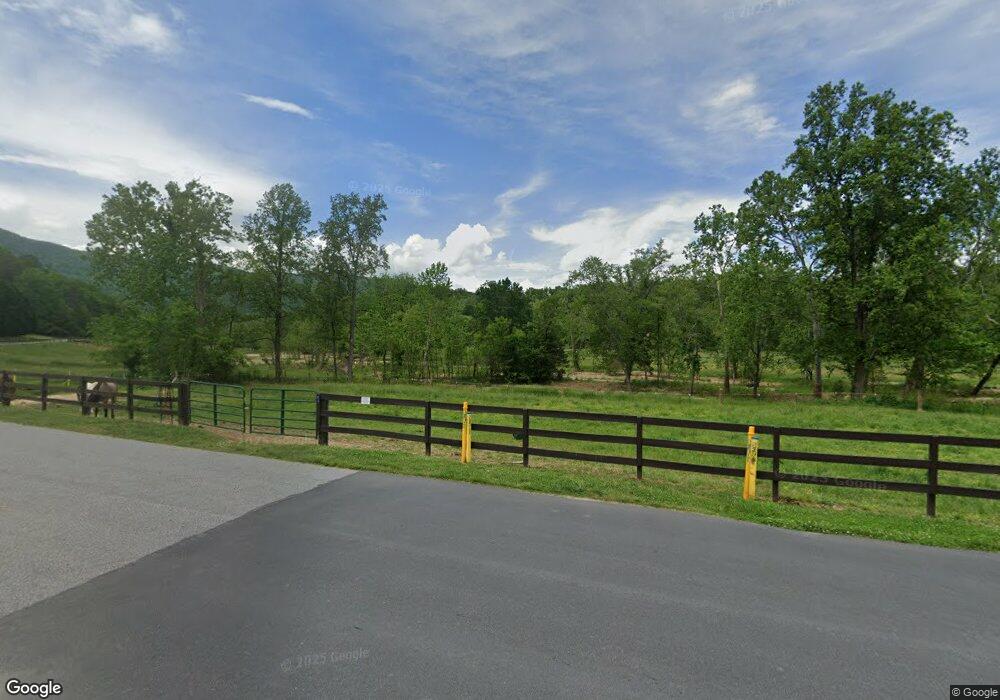
1870 Palmer Rd Mill Spring, NC 28756
Estimated Value: $810,000 - $1,866,499
4
Beds
3
Baths
--
Sq Ft
35.5
Acre Lot
About This Home
This home is located at 1870 Palmer Rd, Mill Spring, NC 28756 and is currently estimated at $1,347,125. 1870 Palmer Rd is a home located in Polk County.
Ownership History
We collect this data history from publicly available records. To have your information removed, we recommend requesting removal directly through your county’s website.
Date
Name
Owned For
Owner Type
Purchase Details
Closed on
Jun 13, 2017
Sold by
Bought by
Current Estimated Value
Purchase Details
Closed on
May 14, 2004
Bought by
Purchase Details
Closed on
Dec 31, 1997
Bought by
Create a Home Valuation Report for This Property
The Home Valuation Report is an in-depth analysis detailing your home's value as well as a comparison with similar homes in the area
Home Values in the Area
Average Home Value in this Area
Purchase History
We collect this data history from publicly available records. To have your information removed, we recommend requesting removal directly through your county’s website.
| Date | Buyer | Sale Price | Title Company |
|---|---|---|---|
| -- | None Available | ||
| -- | -- | ||
| -- | -- |
Source: Public Records
Tax History
We collect this data history from publicly available records. To have your information removed, we recommend requesting removal directly through your county’s website.
| Year | Tax Paid | Tax Assessment Tax Assessment Total Assessment is a certain percentage of the fair market value that is determined by local assessors to be the total taxable value of land and additions on the property. | Land | Improvement |
|---|---|---|---|---|
| 2025 | $6,869 | $1,367,314 | $359,847 | $1,007,467 |
| 2024 | $5,694 | $885,763 | $207,485 | $678,278 |
| 2023 | $5,694 | $885,763 | $207,485 | $678,278 |
| 2022 | $5,587 | $885,763 | $207,485 | $678,278 |
| 2021 | $5,587 | $885,763 | $207,485 | $678,278 |
| 2020 | $4,489 | $674,335 | $197,485 | $476,850 |
| 2019 | $4,489 | $674,335 | $197,485 | $476,850 |
| 2018 | $4,152 | $674,335 | $197,485 | $476,850 |
| 2017 | $4,152 | $722,115 | $197,485 | $524,630 |
| 2016 | $4,297 | $722,115 | $197,485 | $524,630 |
| 2015 | $4,155 | $0 | $0 | $0 |
| 2014 | $4,155 | $0 | $0 | $0 |
| 2013 | -- | $0 | $0 | $0 |
Source: Public Records
Map
Nearby Homes
- 4 Woodward Dr
- 1 Jackson Ridge Ln
- 120 Glenn Ct
- 0 Stratford Dr Unit 19
- 0 Deep Gap Farm Rd E Unit CAR4127995
- 25 Monteith Place
- 565 Chestertown Dr
- LOT 25 Monteith Place
- 2 Jackson Ridge Ln
- 538 Chestertown Dr
- 1194 Palmer Rd
- LOT 73 Chestertown Dr Unit 73
- 0 Chestertown Dr
- 788 Deep Gap Farm Rd E
- LOT 30 Deep Gap Farm Rd E
- 38 Deep Gap Farm Rd E Unit 38
- 61 Deep Gap Farm Rd E
- 112 Deep Gap Farm Rd E
- LOT 43 Deep Gap Farm Rd E
- 2002 Deep Gap Farm Rd E
- 0 E Deep Gap Farm Rd Unit 3285580
- #195 Cherry Rd Unit 195
- Lot 57 Deep Gap Farm E Unit 57
- Lot #64 Deep Gap Farm E
- 87 Jackson Ridge Ln Unit 4
- 00 Woodward Dr Unit 8
- LOT 125 Camden Place
- Lot 58 Deep Gap Farm Rd E
- LOT 114 Deep Gap Farm Rd E
- 153 Glenn Ct
- 11 Woodward Dr Unit 11
- Lot 11 Woodward Place
- LOT 2204 Glenn Ct
- SITE # 2 Ridgetop Ln
- SITE # 5 Ridgetop Ln
- SITE # 1 Ridgetop Ln
- TBD Ridgetop Ln Unit 7
- TBD Ridgetop Ln Unit 5
- LOT 2203 Glenn Ct
- 7 Woodward Dr
Your Personal Tour Guide
Ask me questions while you tour the home.