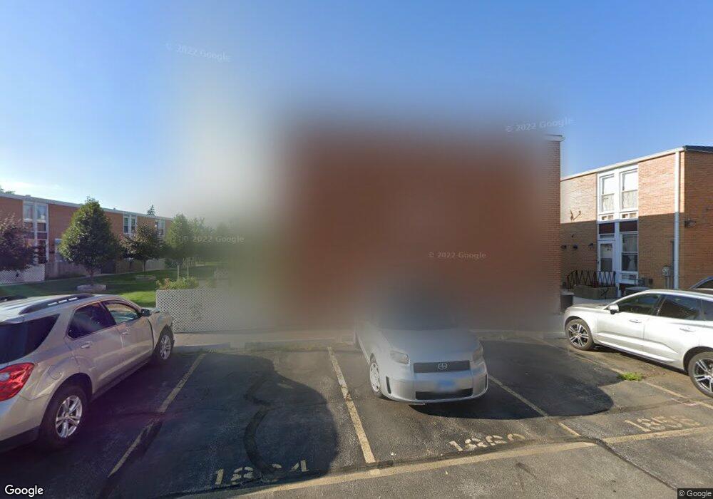
1871 Pine Ct Des Plaines, IL 60018
Des Plaines AreaEstimated Value: $242,000 - $322,000
About This Home
This home is located at 1871 Pine Ct, Des Plaines, IL 60018 and is currently estimated at $276,956, approximately $240 per square foot. 1871 Pine Ct is a home located in Cook County with nearby schools including Plainfield Elementary School, Algonquin Middle School, and Maine West High School.
Ownership History
We collect this data history from publicly available records. To have your information removed, we recommend requesting removal directly through your county’s website.
Purchase Details
Home Values in the Area
Average Home Value in this Area
Purchase History
We collect this data history from publicly available records. To have your information removed, we recommend requesting removal directly through your county’s website.
| Date | Buyer | Sale Price | Title Company |
|---|---|---|---|
| $88,500 | -- |
Tax History
We collect this data history from publicly available records. To have your information removed, we recommend requesting removal directly through your county’s website.
| Year | Tax Paid | Tax Assessment Tax Assessment Total Assessment is a certain percentage of the fair market value that is determined by local assessors to be the total taxable value of land and additions on the property. | Land | Improvement |
|---|---|---|---|---|
| 2025 | $4,135 | $18,000 | $1,968 | $16,032 |
| 2024 | $4,135 | $19,000 | $3,000 | $16,000 |
| 2023 | $4,009 | $19,000 | $3,000 | $16,000 |
| 2022 | $4,009 | $19,000 | $3,000 | $16,000 |
| 2021 | $2,543 | $11,602 | $836 | $10,766 |
| 2020 | $2,569 | $11,602 | $836 | $10,766 |
| 2019 | $2,586 | $13,037 | $836 | $12,201 |
| 2018 | $3,593 | $15,449 | $738 | $14,711 |
| 2017 | $3,547 | $15,449 | $738 | $14,711 |
| 2016 | $3,599 | $15,449 | $738 | $14,711 |
| 2015 | $3,154 | $13,056 | $639 | $12,417 |
| 2014 | $3,104 | $13,056 | $639 | $12,417 |
| 2013 | $3,009 | $13,056 | $639 | $12,417 |
Map
- 1446 Everett Ave
- 1953 Illinois St
- 1717 Mannheim Rd
- 1678 Ash St
- 1914 Lee St
- 1610 Stockton Ave
- 1645 Stockton Ave
- 1370 Fargo Ave Unit E
- 1509 Center St
- 1830 Dexter Ln
- 2196 Spruce Ave
- 1920 Koehler Dr
- 1645 Webster Ln
- 2001 Plainfield Dr
- 1375 Whitcomb Ave
- 1314 S Cora St
- 1469 Webster Ln
- 1316 Whitcomb Ave
- 1640 S River Rd
- 2125 Plainfield Dr
- 1855 Pine Ct
- 1851 Pine Ct
- 1859 Pine Ct
- 1847 Pine Ct
- 1863 Pine Ct
- 1860 Mannheim Rd
- 1852 Mannheim Rd
- 1867 Pine Ct
- 1856 Mannheim Rd
- 1850 Mannheim Rd
- 1845 Pine Ct
- 1864 Mannheim Rd
- 1866 Mannheim Rd
- 1866 Mannheim Rd Unit 1866
- 1848 Mannheim Rd
- 1862 Pine Ct
- 1841 Pine Ct
- 1854 Pine Ct
- 1858 Pine Ct
- 1875 Pine Ct
Ask me questions while you tour the home.