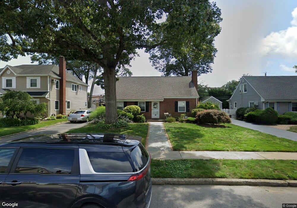
1874 Cliff Rd Merrick, NY 11566
Estimated Value: $671,129 - $866,000
Studio
2
Baths
1,350
Sq Ft
$565/Sq Ft
Est. Value
About This Home
This home is located at 1874 Cliff Rd, Merrick, NY 11566 and is currently estimated at $763,282, approximately $565 per square foot. 1874 Cliff Rd is a home located in Nassau County with nearby schools including Merrick Avenue Middle School, Sanford H Calhoun High School, and Sacred Heart School.
Ownership History
Date
Name
Owned For
Owner Type
Purchase Details
Closed on
Feb 10, 2012
Sold by
Lenz Gary W and Lenz Richard W
Bought by
Lenz William G and Lenz Julie
Current Estimated Value
Home Financials for this Owner
Home Financials are based on the most recent Mortgage that was taken out on this home.
Original Mortgage
$313,500
Outstanding Balance
$211,642
Interest Rate
3.89%
Mortgage Type
Purchase Money Mortgage
Estimated Equity
$551,640
Purchase Details
Closed on
Jul 1, 2009
Sold by
Lenz Richard L and Lenz Katheryn D
Bought by
Lenz Richard W and Lenz Gary W
Create a Home Valuation Report for This Property
The Home Valuation Report is an in-depth analysis detailing your home's value as well as a comparison with similar homes in the area
Home Values in the Area
Average Home Value in this Area
Purchase History
| Date | Buyer | Sale Price | Title Company |
|---|---|---|---|
| Lenz William G | $330,000 | -- | |
| Lenz Richard W | -- | -- |
Source: Public Records
Mortgage History
| Date | Status | Borrower | Loan Amount |
|---|---|---|---|
| Open | Lenz William G | $313,500 |
Source: Public Records
Tax History
| Year | Tax Paid | Tax Assessment Tax Assessment Total Assessment is a certain percentage of the fair market value that is determined by local assessors to be the total taxable value of land and additions on the property. | Land | Improvement |
|---|---|---|---|---|
| 2025 | $12,451 | $464 | $189 | $275 |
| 2024 | $3,691 | $496 | $202 | $294 |
| 2023 | $11,590 | $502 | $205 | $297 |
| 2022 | $11,590 | $522 | $213 | $309 |
| 2021 | $12,021 | $507 | $207 | $300 |
| 2020 | $9,943 | $672 | $516 | $156 |
| 2019 | $11,107 | $672 | $441 | $231 |
| 2018 | $10,374 | $787 | $0 | $0 |
| 2017 | $7,359 | $787 | $516 | $271 |
| 2016 | $10,879 | $787 | $516 | $271 |
| 2015 | $3,250 | $787 | $516 | $271 |
| 2014 | $3,250 | $787 | $516 | $271 |
| 2013 | $3,036 | $787 | $516 | $271 |
Source: Public Records
Map
Nearby Homes
- 1817 Gardenia Ave
- 1844 Old Mill Rd
- 9 Aster Ave
- 840 Jerusalem Ave
- 1261 Meadowbrook Rd
- 204 Maeder Ave
- 20 Iris Ave
- 1415 Rhode Ave
- 1481 N Meadow Rd
- 1165 Meadowbrook Rd
- 1425 Jerusalem Ave Unit 7
- 165 Little Whaleneck Rd
- 1531 Merrick Ave
- 35 Roydon Dr N
- 116 Winifred Dr
- 1526 Rhode Ave
- 45 Richard Ave
- 1750 Henry Rd
- 2016 Abbot Ave
- 57 Maeder Ave
Your Personal Tour Guide
Ask me questions while you tour the home.