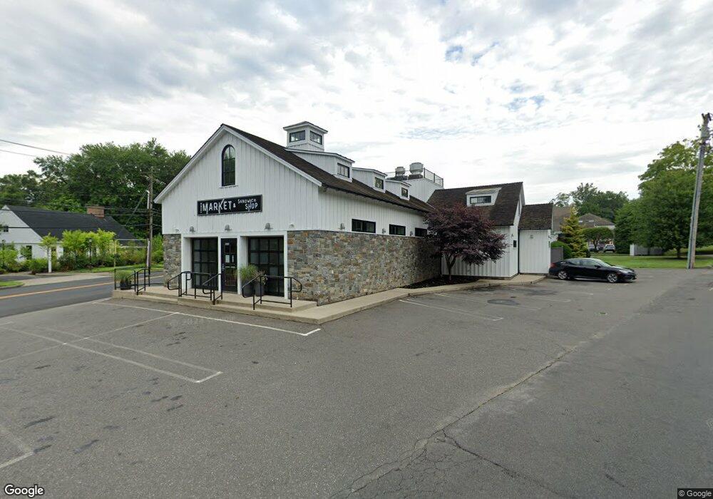
1876 Bronson Rd Fairfield, CT 06824
University NeighborhoodEstimated Value: $2,635,126
Studio
2
Baths
3,761
Sq Ft
$701/Sq Ft
Est. Value
About This Home
This home is located at 1876 Bronson Rd, Fairfield, CT 06824 and is currently estimated at $2,635,126, approximately $700 per square foot. 1876 Bronson Rd is a home located in Fairfield County with nearby schools including Dwight Elementary School, Roger Ludlowe Middle School, and Fairfield Ludlowe High School.
Ownership History
Date
Name
Owned For
Owner Type
Purchase Details
Closed on
Jul 11, 2013
Sold by
F&H Bronson Llc
Bought by
1876 Bronson Rd Llc
Current Estimated Value
Purchase Details
Closed on
Jan 28, 2003
Sold by
Smith Tr Anne M
Bought by
F & H Bronson Llc
Home Financials for this Owner
Home Financials are based on the most recent Mortgage that was taken out on this home.
Original Mortgage
$682,500
Interest Rate
6.11%
Mortgage Type
Commercial
Create a Home Valuation Report for This Property
The Home Valuation Report is an in-depth analysis detailing your home's value as well as a comparison with similar homes in the area
Home Values in the Area
Average Home Value in this Area
Purchase History
We collect this data history from publicly available records. To have your information removed, we recommend requesting removal directly through your county’s website.
| Date | Buyer | Sale Price | Title Company |
|---|---|---|---|
| 1876 Bronson Rd Llc | $1,400,000 | -- | |
| 1876 Bronson Rd Llc | $1,400,000 | -- | |
| F & H Bronson Llc | $1,025,000 | -- | |
| F & H Bronson Llc | $1,025,000 | -- |
Source: Public Records
Mortgage History
We collect this data history from publicly available records. To have your information removed, we recommend requesting removal directly through your county’s website.
| Date | Status | Borrower | Loan Amount |
|---|---|---|---|
| Previous Owner | F & H Bronson Llc | $160,000 | |
| Previous Owner | F & H Bronson Llc | $682,500 | |
| Previous Owner | F & H Bronson Llc | $100,000 |
Source: Public Records
Tax History
| Year | Tax Paid | Tax Assessment Tax Assessment Total Assessment is a certain percentage of the fair market value that is determined by local assessors to be the total taxable value of land and additions on the property. | Land | Improvement |
|---|---|---|---|---|
| 2025 | $30,408 | $1,071,070 | $635,880 | $435,190 |
| 2024 | $29,883 | $1,071,070 | $635,880 | $435,190 |
| 2023 | $29,465 | $1,071,070 | $635,880 | $435,190 |
| 2022 | $29,176 | $1,071,070 | $635,880 | $435,190 |
| 2021 | $28,897 | $1,071,070 | $635,880 | $435,190 |
| 2020 | $27,237 | $1,016,680 | $658,280 | $358,400 |
| 2019 | $27,237 | $1,016,680 | $658,280 | $358,400 |
| 2018 | $26,800 | $1,016,680 | $658,280 | $358,400 |
| 2017 | $26,251 | $1,016,680 | $658,280 | $358,400 |
| 2016 | $22,556 | $886,270 | $658,280 | $227,990 |
| 2015 | $23,909 | $964,460 | $595,140 | $369,320 |
| 2014 | $23,533 | $964,460 | $595,140 | $369,320 |
Source: Public Records
Map
Nearby Homes
- 127 Field Rock Rd
- 320 Warner Hill Rd
- 1482 Bronson Rd
- 360 Duck Farm Rd
- 2683 Bronson Rd
- 790 Cedar Brook Ln
- 264 Half Mile Rd
- 820 Hillside Rd
- 147 Carriage Dr
- 688 Hulls Farm Rd
- 1373 Mill Plain Rd
- 12 Sconset Dr
- 3050 Bronson Rd
- 179 Lawrence Rd
- 289 Old Mill Rd
- 88 Middlebrook Dr
- 647 Bronson Rd
- 63 Henry St
- 177 High Meadow Rd
- 844 Mill Hill Terrace
- 65 Hillside Rd
- 5 Hillside Rd
- 1894 Bronson Rd
- 14 Hillside Rd
- 40 Hillside Rd Unit SF
- 40 Hillside Rd
- 1845 Bronson Rd
- 1950 Bronson Rd
- 1939 Bronson Rd
- 66 Hillside Rd
- 29 Cedar Rd
- 1990 Bronson Rd Unit 6
- 1990 Bronson Rd Unit 8
- 1990 Bronson Rd Unit 7
- 1990 Bronson Rd Unit 5
- 1990 Bronson Rd Unit 4
- 1990 Bronson Rd Unit 3
- 1990 Bronson Rd Unit 2
- 1990 Bronson Rd Unit 1
- 104 Hillside Rd
Your Personal Tour Guide
Ask me questions while you tour the home.