1876 Fireside Dr Cincinnati, OH 45255
Cherry Grove AreaEstimated Value: $306,000 - $347,470
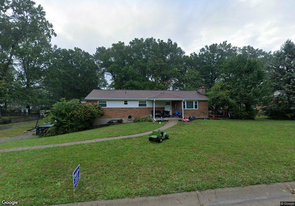
About This Home
This home is located at 1876 Fireside Dr, Cincinnati, OH 45255 and is currently estimated at $325,368, approximately $211 per square foot. 1876 Fireside Dr is a home located in Hamilton County with nearby schools including Summit Elementary School, Nagel Middle School, and Anderson High School.
Ownership History
We collect this data history from publicly available records. To have your information removed, we recommend requesting removal directly through your county’s website.
Purchase Details
Home Financials for this Owner
Home Financials are based on the most recent Mortgage that was taken out on this home.Purchase Details
Home Values in the Area
Average Home Value in this Area
Purchase History
We collect this data history from publicly available records. To have your information removed, we recommend requesting removal directly through your county’s website.
| Date | Buyer | Sale Price | Title Company |
|---|---|---|---|
| $75,000 | Attorney | ||
| -- | -- |
Mortgage History
We collect this data history from publicly available records. To have your information removed, we recommend requesting removal directly through your county’s website.
| Date | Status | Borrower | Loan Amount |
|---|---|---|---|
| Open | $73,641 | ||
| Previous Owner | $50,000 |
Tax History
We collect this data history from publicly available records. To have your information removed, we recommend requesting removal directly through your county’s website.
| Year | Tax Paid | Tax Assessment Tax Assessment Total Assessment is a certain percentage of the fair market value that is determined by local assessors to be the total taxable value of land and additions on the property. | Land | Improvement |
|---|---|---|---|---|
| 2025 | $5,870 | $93,814 | $23,107 | $70,707 |
| 2023 | $5,426 | $93,814 | $23,107 | $70,707 |
| 2022 | $4,417 | $67,974 | $20,083 | $47,891 |
| 2021 | $4,312 | $67,974 | $20,083 | $47,891 |
| 2020 | $4,362 | $67,974 | $20,083 | $47,891 |
| 2019 | $4,252 | $60,155 | $17,773 | $42,382 |
| 2018 | $3,983 | $60,155 | $17,773 | $42,382 |
| 2017 | $3,757 | $60,155 | $17,773 | $42,382 |
| 2016 | $1,686 | $26,250 | $17,416 | $8,834 |
| 2015 | $1,638 | $26,250 | $17,416 | $8,834 |
| 2014 | $1,639 | $26,250 | $17,416 | $8,834 |
| 2013 | $2,645 | $53,890 | $17,773 | $36,117 |
Map
- 1690 Yellowglen Dr
- 1665 Tonopah Dr
- 1896 Velma Ct
- 1728 Rockhurst Ln
- 7660 Clough Pike
- 7652 Clough Pike
- 2183 8 Mile Rd
- 1817 Loisdale Ct
- 1559 Rockhurst Ln
- 1488 Eight Mile Rd
- 2015 Tall Pines Ln
- 2066 Evanor Ln
- 8680 Bethany Ln
- 8485 Linderwood Ln
- 2058 Tall Pines Ln
- 2058 Tall Pines Ln
- 1613 Clemson Cir
- 8496 Coran Dr
- 8496 Coran Dr
- 7981 State Rd
- 1896 Fireside Dr
- 1858 Fireside Dr
- 1875 Fireside Dr
- 1838 Fireside Dr
- 1916 Fireside Dr
- 1895 Fireside Dr
- 1867 Fireside Dr
- 1887 Eight Mile Rd
- 1897 Eight Mile Rd
- 1915 Fireside Dr
- 1839 Fireside Dr
- 1877 Eight Mile Rd
- 1907 Eight Mile Rd
- 1934 Fireside Dr
- 1818 Fireside Dr
- 1917 8 Mile Rd
- 1867 Eight Mile Rd
- 1927 Eight Mile Rd
- 1857 Eight Mile Rd
- 1927 8 Mile Rd
Ask me questions while you tour the home.