188 Shepard Rd Sturbridge, MA 01566
Estimated Value: $739,000 - $1,034,000
4
Beds
5
Baths
3,666
Sq Ft
$236/Sq Ft
Est. Value
About This Home
This home is located at 188 Shepard Rd, Sturbridge, MA 01566 and is currently estimated at $864,170, approximately $235 per square foot. 188 Shepard Rd is a home located in Worcester County with nearby schools including Burgess Elementary School, Tantasqua Regional Junior High School, and Tantasqua Regional High School.
Ownership History
Date
Name
Owned For
Owner Type
Purchase Details
Closed on
Jul 2, 2024
Sold by
Kirker-Head Romona P
Bought by
Kirker-Head Romona P and Kirker-Head Carl A
Current Estimated Value
Purchase Details
Closed on
Nov 8, 2007
Sold by
Roscioli Marjorie F
Bought by
Kirker-Head Romona P
Purchase Details
Closed on
Mar 10, 2004
Sold by
Roscioli Marjorie and Roscioli Romaldo P
Bought by
Roscioli Marjorie and Roscioli Romaldo P
Create a Home Valuation Report for This Property
The Home Valuation Report is an in-depth analysis detailing your home's value as well as a comparison with similar homes in the area
Home Values in the Area
Average Home Value in this Area
Purchase History
| Date | Buyer | Sale Price | Title Company |
|---|---|---|---|
| Kirker-Head Romona P | -- | None Available | |
| Kirker-Head Romona P | -- | None Available | |
| Kirker-Head Romona P | -- | -- | |
| Kirker-Head Romona P | -- | -- | |
| Roscioli Marjorie | -- | -- | |
| Roscioli Marjorie | -- | -- |
Source: Public Records
Tax History
| Year | Tax Paid | Tax Assessment Tax Assessment Total Assessment is a certain percentage of the fair market value that is determined by local assessors to be the total taxable value of land and additions on the property. | Land | Improvement |
|---|---|---|---|---|
| 2025 | $11,309 | $709,916 | $110,216 | $599,700 |
| 2024 | $12,044 | $730,400 | $107,900 | $622,500 |
| 2023 | $11,216 | $620,708 | $94,008 | $526,700 |
| 2022 | $10,388 | $542,464 | $85,164 | $457,300 |
| 2021 | $9,776 | $513,984 | $81,184 | $432,800 |
| 2020 | $9,776 | $513,984 | $81,184 | $432,800 |
| 2019 | $9,285 | $484,848 | $83,348 | $401,500 |
| 2018 | $8,449 | $434,620 | $79,620 | $355,000 |
| 2017 | $8,104 | $417,720 | $76,920 | $340,800 |
| 2016 | $7,064 | $367,720 | $74,720 | $293,000 |
| 2015 | $7,075 | $367,720 | $74,720 | $293,000 |
Source: Public Records
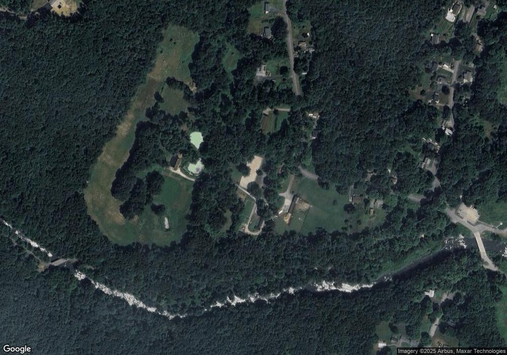
Map
Nearby Homes
- 757 South St
- 23 Chartier Ln
- 36 Litchfield Ave
- 775 Dennison Dr
- 110 Dennison Hill Rd
- 74 River Rd
- 56 Park Ave
- Lot 1 Berry Farms Road-2 Acre
- 402 Pleasant Pkwy
- 0 High St
- 6 Pinrock Dr
- 12 Pinrock Dr
- 90 Sayles St
- 85 Idlewood St
- 30 Mashapaug Rd
- 19 Pinrock Dr
- 32 Crestwood Dr
- 22 Pinrock Dr
- 21 Orchard St
- 6 Walcott St
- 187 Shepard Rd
- 187&191 Shepard Rd
- 206 Shepard Rd
- 206 Shepard Rd Unit lower level
- 207 Shepard Rd
- 184 Shepard Rd
- 210 Shepard Rd
- 209 Shepard Rd
- 183 Shepard Rd
- 181 Shepard Rd
- 183 Shepard Rd- Wallace
- 183/177 Shepard Rd- Wallace
- 178 Shepard Rd
- 215 Shepard Rd
- 120 Wallace Rd
- 112 Wallace Rd
- 174 Shepard Rd
- 116 Wallace Rd
- 169 Shepard Rd
- 110 Wallace Rd
Your Personal Tour Guide
Ask me questions while you tour the home.