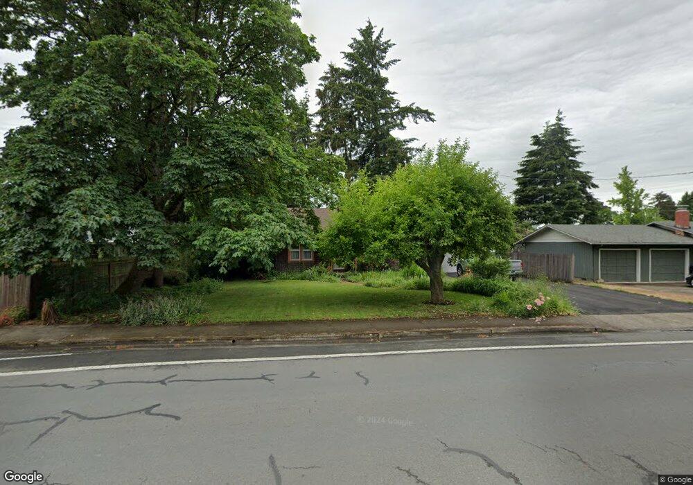
1880 Norkenzie Rd Eugene, OR 97401
Cal Young NeighborhoodEstimated Value: $413,024 - $464,000
3
Beds
1
Bath
922
Sq Ft
$472/Sq Ft
Est. Value
About This Home
This home is located at 1880 Norkenzie Rd, Eugene, OR 97401 and is currently estimated at $435,506, approximately $472 per square foot. 1880 Norkenzie Rd is a home located in Lane County with nearby schools including Willagillespie Elementary School, Cal Young Middle School, and Sheldon High School.
Ownership History
Date
Name
Owned For
Owner Type
Purchase Details
Closed on
Oct 20, 2010
Sold by
Kondak Daniel A and Kondak Mary J
Bought by
Schnider Douglas B
Current Estimated Value
Home Financials for this Owner
Home Financials are based on the most recent Mortgage that was taken out on this home.
Original Mortgage
$141,500
Outstanding Balance
$92,914
Interest Rate
4.33%
Mortgage Type
New Conventional
Estimated Equity
$342,592
Create a Home Valuation Report for This Property
The Home Valuation Report is an in-depth analysis detailing your home's value as well as a comparison with similar homes in the area
Home Values in the Area
Average Home Value in this Area
Purchase History
| Date | Buyer | Sale Price | Title Company |
|---|---|---|---|
| Schnider Douglas B | $184,500 | Western Title & Escrow |
Source: Public Records
Mortgage History
| Date | Status | Borrower | Loan Amount |
|---|---|---|---|
| Open | Schnider Douglas B | $141,500 |
Source: Public Records
Tax History
| Year | Tax Paid | Tax Assessment Tax Assessment Total Assessment is a certain percentage of the fair market value that is determined by local assessors to be the total taxable value of land and additions on the property. | Land | Improvement |
|---|---|---|---|---|
| 2025 | $3,374 | $173,170 | -- | -- |
| 2024 | $3,332 | $168,127 | -- | -- |
| 2023 | $3,332 | $163,231 | $0 | $0 |
| 2022 | $3,122 | $158,477 | $0 | $0 |
| 2021 | $2,932 | $153,862 | $0 | $0 |
| 2020 | $2,942 | $149,381 | $0 | $0 |
| 2019 | $2,842 | $145,031 | $0 | $0 |
| 2018 | $2,675 | $136,706 | $0 | $0 |
| 2017 | $2,555 | $136,706 | $0 | $0 |
| 2016 | $2,492 | $132,724 | $0 | $0 |
| 2015 | $2,420 | $128,858 | $0 | $0 |
| 2014 | $2,371 | $125,105 | $0 | $0 |
Source: Public Records
Map
Nearby Homes
- 1810 Minda Dr
- 1625 Monterey Ln
- 2291 Norkenzie Rd
- 1332 Jeppesen Ave
- 1500 Norkenzie Rd Unit 12
- 1943 Monterey Ln
- 2280 Tabor St
- 1697 Elanco Ave
- 0 Piper Ln Unit Lot 1
- 0 Piper Ln Unit Lot 3
- 0 Piper Ln Unit Lot 2
- 0 Piper Ln Unit Lot 5
- 0 Cal Young Rd Unit Lot 4
- 1521 Gilham Rd
- 2132 Willona Dr
- 2134 Willona Dr
- 2281 Ridgeway Dr
- 1328 Spyglass Dr
- 2207 Willona Dr
- 1165 Skylark Ln
- 1590 Goodpasture Island Rd
- 1597 Jeppesen Ave
- 1595 Jeppesen Ave
- 1580 Goodpasture Island Rd
- 1577 Jeppesen Ave
- 2261 Jeppesen Ave Unit 1702
- 2505 Jeppesen Ave
- 1560 Goodpasture Island Rd
- 1875 Norkenzie Rd
- 1555 Jeppesen Ave
- 1865 Norkenzie Rd
- 1885 Norkenzie Rd
- 1835 Norkenzie Rd
- 1790 Norkenzie Rd
- 1920 Norkenzie Rd
- 1580 Jeppesen Ave
- 1530 Goodpasture Island Rd
- 1525 Jeppesen Ave
- 1815 Norkenzie Rd
- 1867 Norkenzie Rd
Your Personal Tour Guide
Ask me questions while you tour the home.