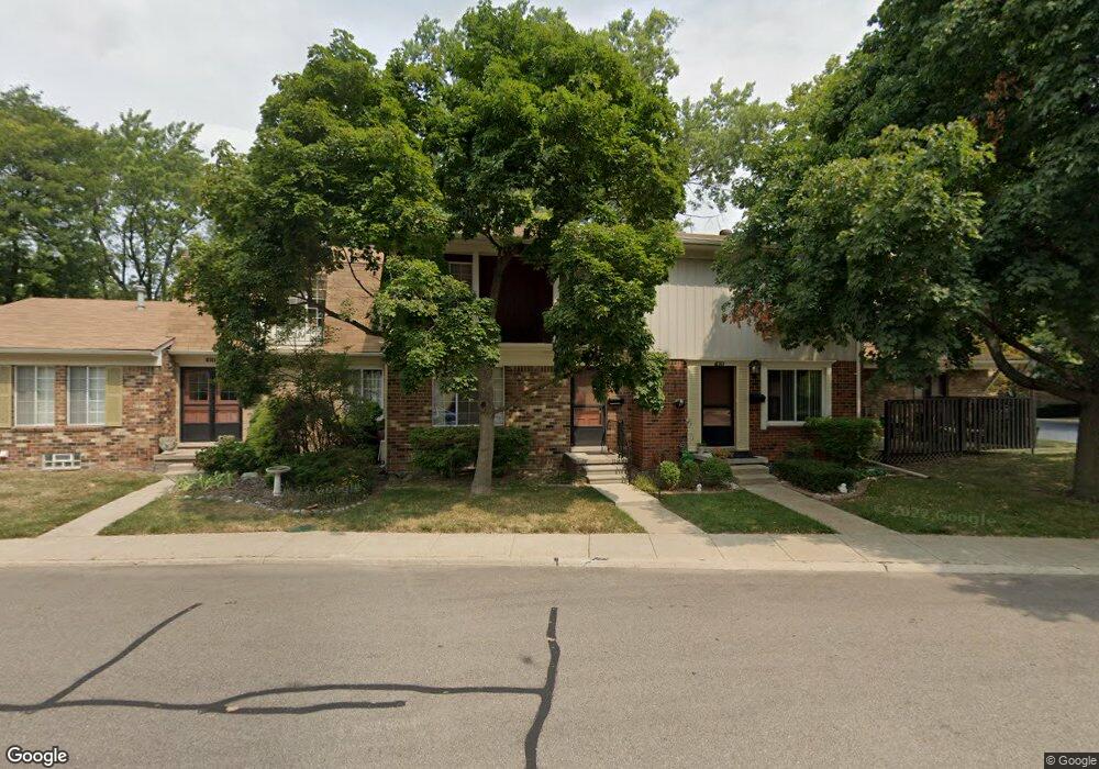
1882 Wickham St Unit Bldg-Unit Royal Oak, MI 48073
Estimated Value: $214,000 - $235,000
About This Home
This home is located at 1882 Wickham St Unit Bldg-Unit, Royal Oak, MI 48073 and is currently estimated at $225,351, approximately $183 per square foot. 1882 Wickham St Unit Bldg-Unit is a home located in Oakland County with nearby schools including Alfred E. Upton Elementary School, Royal Oak Middle School, and Royal Oak High School.
Ownership History
We collect this data history from publicly available records. To have your information removed, we recommend requesting removal directly through your county’s website.
Purchase Details
Purchase Details
Purchase Details
Home Financials for this Owner
Home Financials are based on the most recent Mortgage that was taken out on this home.Purchase Details
Home Financials for this Owner
Home Financials are based on the most recent Mortgage that was taken out on this home.Purchase Details
Purchase Details
Purchase Details
Home Financials for this Owner
Home Financials are based on the most recent Mortgage that was taken out on this home.Home Values in the Area
Average Home Value in this Area
Purchase History
We collect this data history from publicly available records. To have your information removed, we recommend requesting removal directly through your county’s website.
| Date | Buyer | Sale Price | Title Company |
|---|---|---|---|
| -- | None Listed On Document | ||
| -- | None Listed On Document | ||
| $155,000 | Fidelity National Title | ||
| $146,000 | None Available | ||
| $154,000 | Metropolitan Title Company | ||
| -- | -- | ||
| $148,900 | Metropolitan Title Company | ||
| $124,000 | -- |
Mortgage History
We collect this data history from publicly available records. To have your information removed, we recommend requesting removal directly through your county’s website.
| Date | Status | Borrower | Loan Amount |
|---|---|---|---|
| Previous Owner | $138,700 | ||
| Previous Owner | $25,000 | ||
| Previous Owner | $121,300 | ||
| Previous Owner | $94,000 |
Tax History
We collect this data history from publicly available records. To have your information removed, we recommend requesting removal directly through your county’s website.
| Year | Tax Paid | Tax Assessment Tax Assessment Total Assessment is a certain percentage of the fair market value that is determined by local assessors to be the total taxable value of land and additions on the property. | Land | Improvement |
|---|---|---|---|---|
| 2025 | $3,726 | $99,940 | $0 | $0 |
| 2024 | $3,624 | $93,010 | $0 | $0 |
| 2022 | $3,953 | $82,790 | $0 | $0 |
| 2020 | $3,496 | $74,830 | $0 | $0 |
| 2018 | $3,953 | $59,050 | $0 | $0 |
| 2017 | $1,973 | $59,050 | $0 | $0 |
| 2015 | -- | $42,150 | $0 | $0 |
| 2014 | -- | $37,190 | $0 | $0 |
| 2011 | -- | $33,620 | $0 | $0 |
Map
- 1853 Torquay Ave Unit 229
- 1900 Wickham St Unit 64
- 2028 Wickham St Unit 21
- 4905 Coventry St
- 1791 Wickham St
- 1813 Torquay Ave Unit 7
- 5066 Elmhurst Ave
- 4913 Crooks Road Crooks Rd Unit G5
- 665 Langley Blvd
- 4913 Crooks Rd Unit G1
- 693 Langley Blvd
- 4909 Crooks Rd Unit E5
- 4909 Crooks Rd Unit D6
- 4917 Crooks Rd Unit L5
- 4921 Crooks Rd
- 4921 Crooks Rd Unit N-10
- 430 N Batchewana St
- 410 N Batchewana St
- 4905 Crooks A2 Rd
- 2440 Parmenter Blvd Unit 204
- 1743 Wickham St Unit 164
- 1878 Newporte Ct Unit 243
- 4908 Cara Ct Unit 347
- 2104 Wickham St Unit 10
- 1986 Ridge Ct Unit 221
- 1996 Seabright Ct Unit 294
- 4937 Cara Ct Unit 333
- 1888 Newporte Ct Unit 237
- 2042 Wickham St Unit 19
- 1884 Newporte Ct Unit 241
- 1784 Wickham St Unit 95
- 1884 Newporte Ct Unit 32, 241
- 1826 Shire Ct Unit Bldg-Unit
- 1834 Wickham St Unit Bldg-Unit
- 2120 Wickham St Unit Bldg-Unit
- 1806 Torquay Ave Unit Bldg-Unit
- 1876 Wickham St Unit 11, 69
- 2056 Wickham St Unit 3, 34
- 1815 Wickham St Unit 19 1815
- 1973 Seabright Ct Unit 43, 285
Ask me questions while you tour the home.