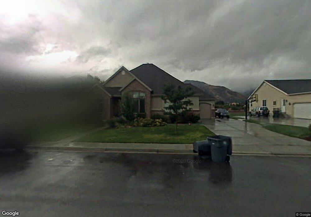
1884 N 600 W Mapleton, UT 84664
Estimated Value: $662,000 - $806,000
3
Beds
2
Baths
2,248
Sq Ft
$338/Sq Ft
Est. Value
About This Home
This home is located at 1884 N 600 W, Mapleton, UT 84664 and is currently estimated at $760,822, approximately $338 per square foot. 1884 N 600 W is a home located in Utah County with nearby schools including Hobble Creek School, Mapleton Junior High School, and Maple Mountain High School.
Ownership History
Date
Name
Owned For
Owner Type
Purchase Details
Closed on
May 28, 2014
Sold by
Mccausland Scott and Mccausland Steffany
Bought by
The Scott And Steffany Mccausland Revoca and Mccausland Steffany
Current Estimated Value
Purchase Details
Closed on
Jul 10, 2007
Sold by
Snyder Donald Paul
Bought by
Snyder Donald Paul and Snyder Laura N
Home Financials for this Owner
Home Financials are based on the most recent Mortgage that was taken out on this home.
Original Mortgage
$180,000
Outstanding Balance
$111,976
Interest Rate
6.41%
Mortgage Type
New Conventional
Estimated Equity
$648,846
Purchase Details
Closed on
Oct 1, 2002
Sold by
Fullmer Samuel P
Bought by
Mccausland Scott and Mccausland Steffany
Create a Home Valuation Report for This Property
The Home Valuation Report is an in-depth analysis detailing your home's value as well as a comparison with similar homes in the area
Home Values in the Area
Average Home Value in this Area
Purchase History
| Date | Buyer | Sale Price | Title Company |
|---|---|---|---|
| The Scott And Steffany Mccausland Revoca | -- | None Available | |
| Snyder Donald Paul | -- | Pro Title & Escrow Inc | |
| Mccausland Scott | -- | Provo Land Title Company |
Source: Public Records
Mortgage History
| Date | Status | Borrower | Loan Amount |
|---|---|---|---|
| Open | Snyder Donald Paul | $180,000 |
Source: Public Records
Tax History
| Year | Tax Paid | Tax Assessment Tax Assessment Total Assessment is a certain percentage of the fair market value that is determined by local assessors to be the total taxable value of land and additions on the property. | Land | Improvement |
|---|---|---|---|---|
| 2025 | $3,626 | $399,465 | -- | -- |
| 2024 | $3,626 | $355,245 | $0 | $0 |
| 2023 | $3,756 | $370,260 | $0 | $0 |
| 2022 | $4,297 | $418,825 | $0 | $0 |
| 2021 | $3,662 | $548,100 | $163,300 | $384,800 |
| 2020 | $3,656 | $529,300 | $144,500 | $384,800 |
| 2019 | $3,297 | $487,200 | $138,700 | $348,500 |
| 2018 | $2,971 | $417,900 | $116,800 | $301,100 |
| 2017 | $2,870 | $214,225 | $0 | $0 |
| 2016 | $2,832 | $210,155 | $0 | $0 |
| 2015 | $2,767 | $204,105 | $0 | $0 |
| 2014 | $2,791 | $202,125 | $0 | $0 |
Source: Public Records
Map
Nearby Homes
- 1697 N 500 W
- 598 W 1600 N
- 1264 E 1150 S
- 145 W Carnesecca Ct
- 1518 E Pheasant Run Dr
- 1618 E 970 S
- 1121 W 1800 N
- 405 W 1200 N Unit 4
- 487 W 1200 N Unit 1
- 949 S 1060 E
- 1350 N Main St
- 1839 River Bottom Rd
- 899 E 800 S
- 1410 W 1200 N
- 1096 Valley Sage Dr
- 667 N 550 W
- 1092 Valley Sage Dr
- 1403 S 625 E
- 1567 N 600 E Unit 26
- 557 S 1470 E
Your Personal Tour Guide
Ask me questions while you tour the home.