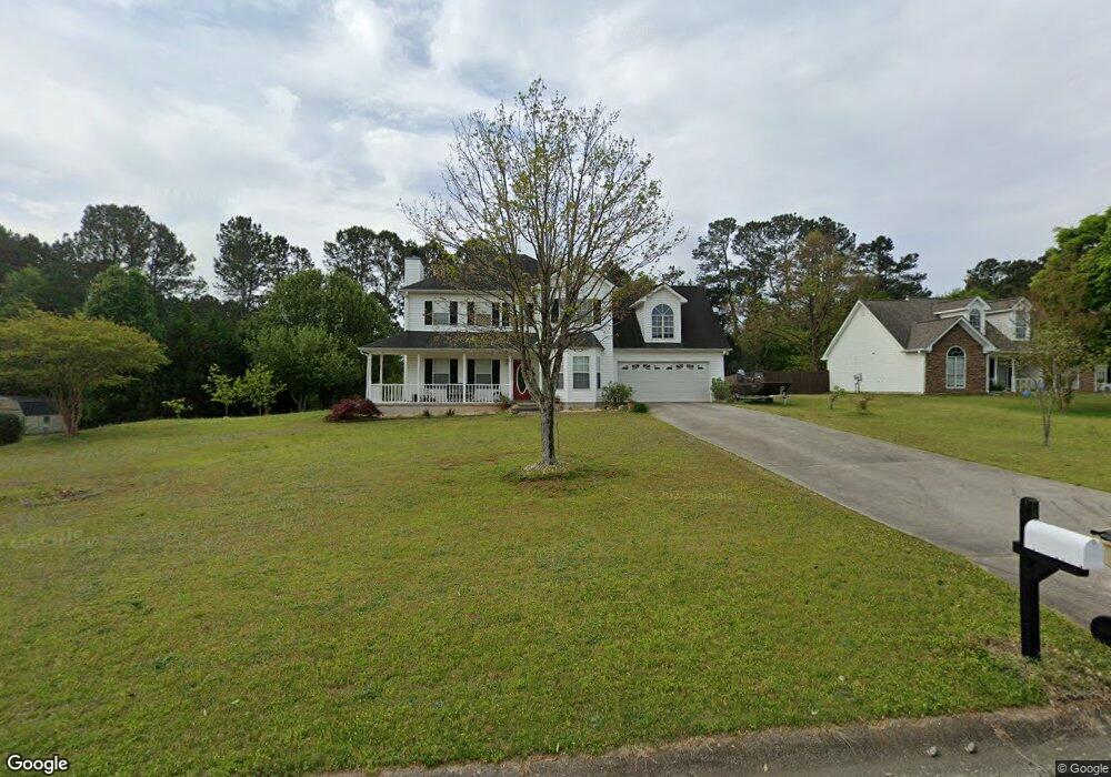
189 Cole Cir Unit 1 Bethlehem, GA 30620
Estimated Value: $332,151 - $365,000
About This Home
This home is located at 189 Cole Cir Unit 1, Bethlehem, GA 30620 and is currently estimated at $352,538, approximately $167 per square foot. 189 Cole Cir Unit 1 is a home located in Barrow County with nearby schools including Yargo Elementary School, Haymon-Morris Middle School, and Apalachee High School.
Ownership History
We collect this data history from publicly available records. To have your information removed, we recommend requesting removal directly through your county’s website.
Purchase Details
Home Financials for this Owner
Home Financials are based on the most recent Mortgage that was taken out on this home.Purchase Details
Purchase Details
Home Values in the Area
Average Home Value in this Area
Purchase History
We collect this data history from publicly available records. To have your information removed, we recommend requesting removal directly through your county’s website.
| Date | Buyer | Sale Price | Title Company |
|---|---|---|---|
| $120,600 | -- | ||
| $36,000 | -- | ||
| $678,600 | -- |
Mortgage History
We collect this data history from publicly available records. To have your information removed, we recommend requesting removal directly through your county’s website.
| Date | Status | Borrower | Loan Amount |
|---|---|---|---|
| Open | $114,550 |
Tax History
We collect this data history from publicly available records. To have your information removed, we recommend requesting removal directly through your county’s website.
| Year | Tax Paid | Tax Assessment Tax Assessment Total Assessment is a certain percentage of the fair market value that is determined by local assessors to be the total taxable value of land and additions on the property. | Land | Improvement |
|---|---|---|---|---|
| 2025 | $2,535 | $108,703 | $26,800 | $81,903 |
| 2024 | $2,597 | $106,322 | $26,800 | $79,522 |
| 2023 | $2,188 | $106,722 | $26,800 | $79,922 |
| 2022 | $2,572 | $91,572 | $22,400 | $69,172 |
| 2021 | $2,523 | $85,172 | $16,000 | $69,172 |
| 2020 | $2,030 | $68,572 | $16,000 | $52,572 |
| 2019 | $2,065 | $68,572 | $16,000 | $52,572 |
| 2018 | $1,954 | $65,772 | $13,200 | $52,572 |
| 2017 | $1,667 | $57,257 | $13,200 | $44,057 |
| 2016 | $1,442 | $49,989 | $13,200 | $36,789 |
| 2015 | $1,461 | $50,422 | $13,200 | $37,222 |
| 2014 | $1,284 | $44,123 | $6,468 | $37,655 |
| 2013 | -- | $41,779 | $6,468 | $35,311 |
Map
- 204 Angie Way Unit 2
- 1442 Dillard Heights Dr
- 1188 Carl-Bethlehem Rd
- 449 Carl Bethlehem Rd SW
- 1129 Loganville Hwy
- 907 Downing Dr
- 915 Downing Dr
- 1007 Preserve Ln
- 396 Harvey Lokey Rd
- 924 Downing Dr
- 925 Downing Dr
- 320 Lokeys Ln
- 719 Austin Reynolds Rd
- 1159 Nantucket Way
- 509 Bentley Cir
- 1250 Persimmon Place Dr
- 1029 Preserve Ln
- 722 Ridgetop Rd
- 543 Saddle Ridge Dr
- 607 Mcdowell Ln
- 187 Cole Cir
- 193 Cole Cir
- 185 Cole Cir
- 197 Cole Cir Unit 1
- 190 Cole Cir
- 188 Cole Cir
- 188 Cole Cir
- 535 Harvey Lokey Rd
- 194 Cole Cir
- 186 Cole Cir Unit 1
- 183 Cole Cir
- 198 Cole Cir Unit 1
- 184 Cole Cir
- 179 Cole Cir Unit 1
- 203 Cole Cir Unit 1
- 1475 Dillard Heights Dr
- 1479 Dillard Heights Dr
- 1473 Dillard Heights Dr
- 1477 Dillard Heights Dr
- 1481 Dillard Heights Dr
Ask me questions while you tour the home.