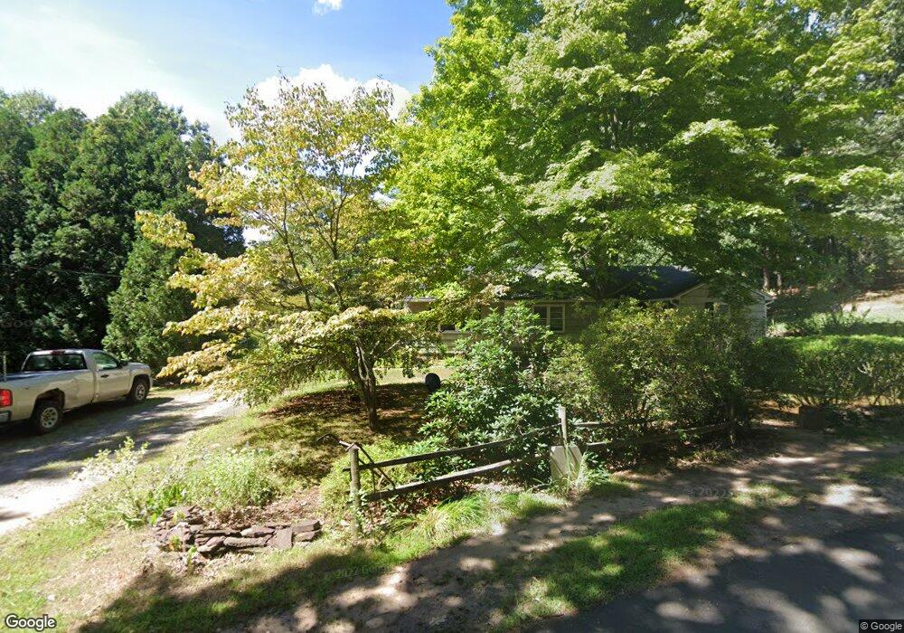
189 Colony Rd West Suffield, CT 06093
Estimated Value: $304,000 - $363,000
About This Home
This home is located at 189 Colony Rd, West Suffield, CT 06093 and is currently estimated at $338,764, approximately $254 per square foot. 189 Colony Rd is a home located in Hartford County with nearby schools including A. Ward Spaulding School, Mcalister Intermediate School, and Suffield Middle School.
Ownership History
We collect this data history from publicly available records. To have your information removed, we recommend requesting removal directly through your county’s website.
Purchase Details
Home Financials for this Owner
Home Financials are based on the most recent Mortgage that was taken out on this home.Purchase Details
Home Financials for this Owner
Home Financials are based on the most recent Mortgage that was taken out on this home.Home Values in the Area
Average Home Value in this Area
Purchase History
We collect this data history from publicly available records. To have your information removed, we recommend requesting removal directly through your county’s website.
| Date | Buyer | Sale Price | Title Company |
|---|---|---|---|
| -- | -- | ||
| $126,000 | -- |
Mortgage History
We collect this data history from publicly available records. To have your information removed, we recommend requesting removal directly through your county’s website.
| Date | Status | Borrower | Loan Amount |
|---|---|---|---|
| Open | $88,500 | ||
| Previous Owner | $104,000 | ||
| Previous Owner | $123,950 | ||
| Previous Owner | $123,200 |
Tax History
We collect this data history from publicly available records. To have your information removed, we recommend requesting removal directly through your county’s website.
| Year | Tax Paid | Tax Assessment Tax Assessment Total Assessment is a certain percentage of the fair market value that is determined by local assessors to be the total taxable value of land and additions on the property. | Land | Improvement |
|---|---|---|---|---|
| 2025 | $4,207 | $179,690 | $63,000 | $116,690 |
| 2024 | $4,066 | $179,690 | $63,000 | $116,690 |
| 2023 | $3,769 | $131,740 | $62,720 | $69,020 |
| 2022 | $3,769 | $131,740 | $62,720 | $69,020 |
| 2021 | $3,773 | $131,740 | $62,720 | $69,020 |
| 2020 | $3,773 | $131,740 | $62,720 | $69,020 |
| 2019 | $3,784 | $131,740 | $62,720 | $69,020 |
| 2018 | $3,760 | $128,240 | $59,920 | $68,320 |
| 2017 | $3,705 | $128,240 | $59,920 | $68,320 |
| 2016 | $3,616 | $128,240 | $59,920 | $68,320 |
| 2015 | $3,563 | $128,240 | $59,920 | $68,320 |
| 2014 | $3,478 | $128,240 | $59,920 | $68,320 |
Map
- 371 Lakeview Dr
- 142 Jackson Dr
- 245 Birch Rd
- 347 Griffin Rd
- 6 Iroquois Dr
- 14 Iroquois Dr
- 96 Woods Hollow Rd
- 2 Stratton Farms Rd
- 670 Quarry Rd
- 30 Old Farms Rd
- 331 Halladay Dr
- 94 Berkshire Ave
- 115 Berkshire Ave
- 118 Berkshire Ave
- 17 Congamond Rd
- 216 College Hwy
- 877 Newgate Rd
- 93 Sheep Pasture Rd
- 141 Point Grove Rd
- 9 Candlewood Ln
- 45 Pilgrim Ln
- 0 Pilgrim Ln
- 15 Pilgrim Ln
- 140 Colony Rd
- 104 Colony Rd
- 243 Colony Rd
- 260 Colony Rd
- 75 Pilgrim Ln
- 0 Mayflower Ln
- 287 Colony Rd
- 282 Colony Rd
- 173 Pilgrim Ln
- 412 Lake Rd
- 41 Mayflower Ln
- 140 Pilgrim Ln
- 293 Lakeview Drive Extension
- 311 Lakeview Drive Extension
- 111 Pilgrim Ln
- 333 Colony Rd
- 329 Lakeview Drive Extension
Ask me questions while you tour the home.