Estimated Value: $219,000 - $279,000
3
Beds
2
Baths
1,386
Sq Ft
$173/Sq Ft
Est. Value
About This Home
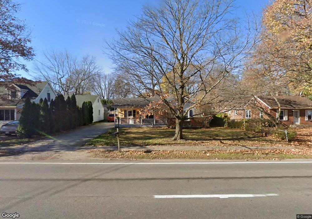
This home is located at 1891 Aurelius Rd, Holt, MI 48842 and is currently estimated at $240,247, approximately $173 per square foot. 1891 Aurelius Rd is a home located in Ingham County with nearby schools including Wilcox Elementary School, Holt Junior High School, and Hope Middle School.
Ownership History
Date
Name
Owned For
Owner Type
Purchase Details
Closed on
Mar 22, 1999
Sold by
Hensley Earl and Hensley Diane M
Bought by
Stephens Terrance W and Stephens Sheryl L
Current Estimated Value
Home Financials for this Owner
Home Financials are based on the most recent Mortgage that was taken out on this home.
Original Mortgage
$118,400
Interest Rate
6.94%
Mortgage Type
Purchase Money Mortgage
Create a Home Valuation Report for This Property
The Home Valuation Report is an in-depth analysis detailing your home's value as well as a comparison with similar homes in the area
Home Values in the Area
Average Home Value in this Area
Purchase History
| Date | Buyer | Sale Price | Title Company |
|---|---|---|---|
| Stephens Terrance W | $85,000 | -- |
Source: Public Records
Mortgage History
| Date | Status | Borrower | Loan Amount |
|---|---|---|---|
| Previous Owner | Stephens Terrance W | $118,400 |
Source: Public Records
Tax History
| Year | Tax Paid | Tax Assessment Tax Assessment Total Assessment is a certain percentage of the fair market value that is determined by local assessors to be the total taxable value of land and additions on the property. | Land | Improvement |
|---|---|---|---|---|
| 2025 | $3,746 | $122,200 | $25,000 | $97,200 |
| 2024 | $3,483 | $113,000 | $21,600 | $91,400 |
| 2023 | $3,483 | $106,200 | $15,600 | $90,600 |
| 2022 | $3,337 | $93,200 | $15,600 | $77,600 |
| 2021 | $3,289 | $88,200 | $12,000 | $76,200 |
| 2020 | $3,360 | $83,600 | $12,000 | $71,600 |
| 2019 | $3,266 | $82,700 | $11,000 | $71,700 |
| 2018 | $3,249 | $76,300 | $11,000 | $65,300 |
| 2017 | $2,939 | $76,300 | $11,000 | $65,300 |
| 2016 | $2,996 | $73,900 | $13,300 | $60,600 |
| 2015 | $2,910 | $71,900 | $26,613 | $45,287 |
| 2014 | $2,910 | $67,800 | $26,613 | $41,187 |
Source: Public Records
Map
Nearby Homes
- 0 Aurelius Rd Unit 282659
- 4516 Wilcox Rd
- 2021 Adelpha Ave
- 1895 Dean Ave
- 2028 Auburn Ave
- 4360 Holt Rd Unit 9
- 1761 Schoolcraft St
- 2122 Cedar St
- 4551 Glenberry Dr
- 4282 Woodworth Ave
- 2201 N Aurelius Rd
- 4439 Keller Rd
- 1584 Stonehaven Dr
- 4108 Holt Rd
- 4662 Tolland Ave
- 2245 Main St
- 4942 Holt Rd
- 2301 Main St Unit 2301 2303
- 1532 N Eifert Rd
- 5091 Runnymede Dr
- 1895 Aurelius Rd
- 1887 Aurelius Rd
- 1901 Aurelius Rd
- 4504 Sycamore St
- 1883 Aurelius Rd
- 1892 Burton Ave
- 1894 Burton Ave
- 0 Aurelius Rd Unit 28013696
- 0 Aurelius Rd Unit 224265
- 0 Aurelius Rd Unit 219851
- 0 Aurelius Rd Unit 176965
- 0 Aurelius Rd Unit 185379
- 0 Aurelius Rd Unit 215220
- 0 Aurelius Rd Unit 215222
- 0 Aurelius Rd Unit 215216
- 0 Aurelius Rd Unit 630000185379
- 0 Aurelius Rd Unit M21039266
- 0 Aurelius Rd Unit 59562
- 0 Aurelius Rd Unit 55487
- 0 Aurelius Rd Unit 11383
Your Personal Tour Guide
Ask me questions while you tour the home.