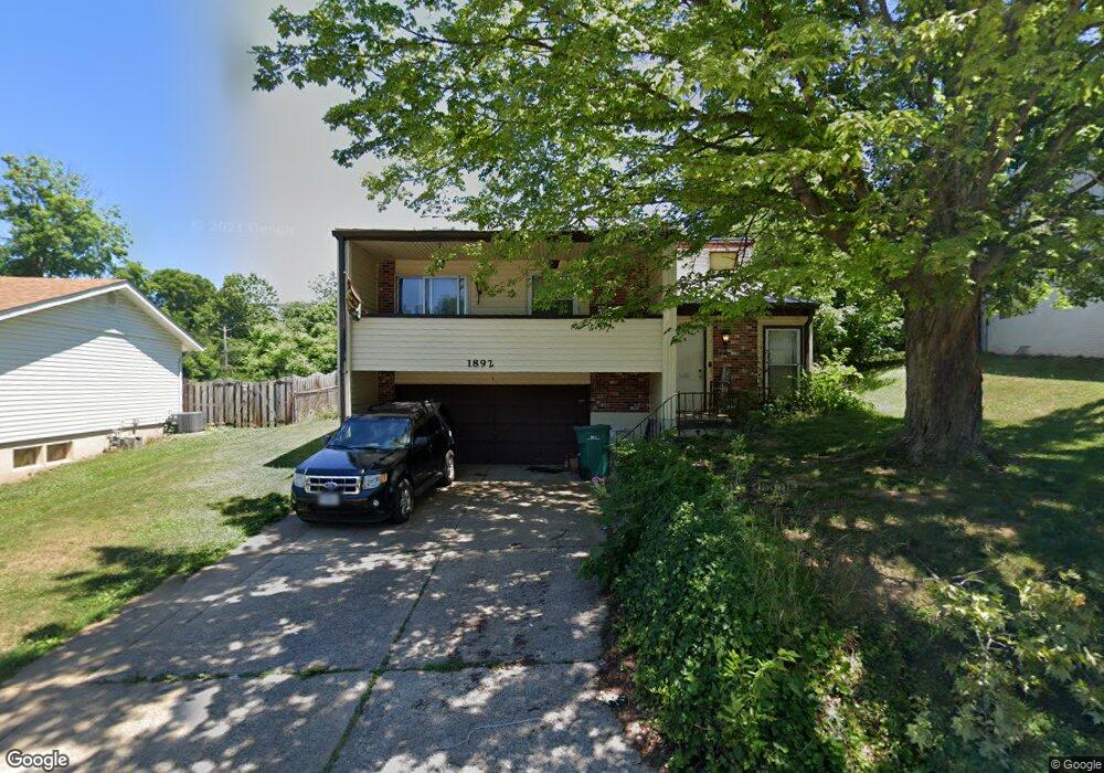
1892 Catlin Dr Barnhart, MO 63012
Estimated Value: $240,992 - $262,000
2
Beds
3
Baths
1,260
Sq Ft
$198/Sq Ft
Est. Value
About This Home
This home is located at 1892 Catlin Dr, Barnhart, MO 63012 and is currently estimated at $249,998, approximately $198 per square foot. 1892 Catlin Dr is a home located in Jefferson County with nearby schools including Windsor High School and St. Joseph Catholic School.
Ownership History
Date
Name
Owned For
Owner Type
Purchase Details
Closed on
Dec 21, 2010
Sold by
Yaekel Joseph D and Yaekel Elizabeth A
Bought by
Yaekel Joseph D and Yaekel Elizabeth A
Current Estimated Value
Home Financials for this Owner
Home Financials are based on the most recent Mortgage that was taken out on this home.
Original Mortgage
$109,500
Outstanding Balance
$73,041
Interest Rate
4.41%
Mortgage Type
New Conventional
Estimated Equity
$176,957
Purchase Details
Closed on
May 20, 2002
Sold by
Vinyard Irene
Bought by
Yaekel Joseph D
Home Financials for this Owner
Home Financials are based on the most recent Mortgage that was taken out on this home.
Original Mortgage
$91,200
Interest Rate
6.5%
Purchase Details
Closed on
Aug 26, 1997
Sold by
Reed Roy and Reed Nancy
Bought by
Vinyard Irene
Create a Home Valuation Report for This Property
The Home Valuation Report is an in-depth analysis detailing your home's value as well as a comparison with similar homes in the area
Home Values in the Area
Average Home Value in this Area
Purchase History
| Date | Buyer | Sale Price | Title Company |
|---|---|---|---|
| Yaekel Joseph D | -- | Multiple | |
| Yaekel Joseph D | -- | Commonwealth Title | |
| Vinyard Irene | -- | Commonwealth Title |
Source: Public Records
Mortgage History
| Date | Status | Borrower | Loan Amount |
|---|---|---|---|
| Open | Yaekel Joseph D | $109,500 | |
| Closed | Yaekel Joseph D | $91,200 | |
| Closed | Yaekel Joseph D | $11,400 |
Source: Public Records
Tax History
| Year | Tax Paid | Tax Assessment Tax Assessment Total Assessment is a certain percentage of the fair market value that is determined by local assessors to be the total taxable value of land and additions on the property. | Land | Improvement |
|---|---|---|---|---|
| 2025 | $1,766 | $26,000 | $4,800 | $21,200 |
| 2024 | $1,766 | $24,100 | $4,800 | $19,300 |
| 2023 | $1,766 | $24,100 | $4,800 | $19,300 |
| 2022 | $1,580 | $21,600 | $2,300 | $19,300 |
| 2021 | $1,581 | $21,600 | $2,300 | $19,300 |
| 2020 | $1,471 | $19,500 | $1,900 | $17,600 |
| 2019 | $1,469 | $19,500 | $1,900 | $17,600 |
| 2018 | $1,449 | $19,500 | $1,900 | $17,600 |
| 2017 | $1,394 | $19,500 | $1,900 | $17,600 |
| 2016 | $1,277 | $17,800 | $1,900 | $15,900 |
| 2015 | $1,274 | $17,800 | $1,900 | $15,900 |
| 2013 | -- | $17,400 | $1,900 | $15,500 |
Source: Public Records
Map
Nearby Homes
- 1955 Parkton Way
- 0 Hwy Mm Unit MAR24032005
- 2117 S Oaks Dr
- 1660 Old State Road M
- 7235 Adams Ct
- 2149 Meadow Dr
- 1767 Williamsburg Dr
- 6788 Haven Hill Rd
- 1721 Burgess Way
- 7098 Ridge Dr
- 1962 Birchwood Dr
- 2525 Castle Pines Dr
- 7701 Locust Dr
- 2118 Birchwood Dr
- 1530 1st St
- 1022 Graystone Park
- 6570 Ike Dr
- 1702 Springbrook Dr
- 2727 Red Maple Dr
- 2208 Valleyview Dr
Your Personal Tour Guide
Ask me questions while you tour the home.