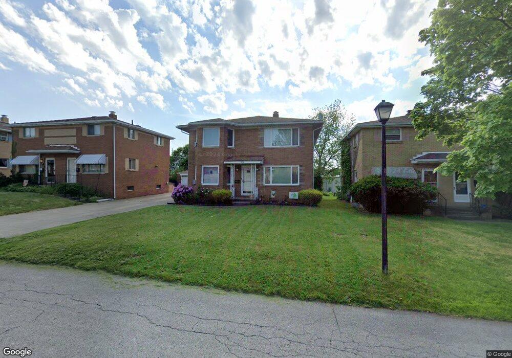
1899 Carter Ave Unit 1901 Akron, OH 44301
Firestone Park NeighborhoodEstimated Value: $169,000 - $209,000
About This Home
This home is located at 1899 Carter Ave Unit 1901, Akron, OH 44301 and is currently estimated at $192,954, approximately $178 per square foot. 1899 Carter Ave Unit 1901 is a home located in Summit County with nearby schools including Kenmore Garfield Community Learning Center, Main Preparatory Academy, and Eagle Elementary.
Ownership History
We collect this data history from publicly available records. To have your information removed, we recommend requesting removal directly through your county’s website.
Purchase Details
Home Financials for this Owner
Home Financials are based on the most recent Mortgage that was taken out on this home.Purchase Details
Home Financials for this Owner
Home Financials are based on the most recent Mortgage that was taken out on this home.Home Values in the Area
Average Home Value in this Area
Purchase History
We collect this data history from publicly available records. To have your information removed, we recommend requesting removal directly through your county’s website.
| Date | Buyer | Sale Price | Title Company |
|---|---|---|---|
| $151,000 | None Listed On Document | ||
| $87,000 | Chicago Title Insurance Comp |
Mortgage History
We collect this data history from publicly available records. To have your information removed, we recommend requesting removal directly through your county’s website.
| Date | Status | Borrower | Loan Amount |
|---|---|---|---|
| Open | $120,000 | ||
| Previous Owner | $87,000 |
Tax History
We collect this data history from publicly available records. To have your information removed, we recommend requesting removal directly through your county’s website.
| Year | Tax Paid | Tax Assessment Tax Assessment Total Assessment is a certain percentage of the fair market value that is determined by local assessors to be the total taxable value of land and additions on the property. | Land | Improvement |
|---|---|---|---|---|
| 2026 | $6,615 | $64,215 | $8,869 | $55,346 |
| 2025 | $3,060 | $56,519 | $8,677 | $47,842 |
| 2024 | $3,060 | $56,519 | $8,677 | $47,842 |
| 2023 | $3,060 | $56,519 | $8,677 | $47,842 |
| 2022 | $2,859 | $41,426 | $6,286 | $35,140 |
| 2021 | $2,862 | $41,426 | $6,286 | $35,140 |
| 2020 | $2,819 | $41,430 | $6,290 | $35,140 |
| 2019 | $2,488 | $33,070 | $6,290 | $26,780 |
| 2018 | $2,455 | $33,070 | $6,290 | $26,780 |
| 2017 | $2,495 | $33,070 | $6,290 | $26,780 |
| 2016 | $2,497 | $33,070 | $6,290 | $26,780 |
| 2015 | $2,495 | $33,070 | $6,290 | $26,780 |
| 2014 | $2,475 | $33,070 | $6,290 | $26,780 |
| 2013 | $2,230 | $30,320 | $6,290 | $24,030 |
Map
- 492 E Woodsdale Ave
- 435 Selden Ave
- 295 E Boxwood Ave
- 317 E Linwood Ave
- 1699 Sunset Ave
- 1699 Redwood Ave
- 1701 Brown St
- 350 Wayne Ave
- 1685 Redwood Ave
- 230 E Dresden Ave
- 1690 Coventry St
- 2069 Penguin Ave
- 1646 Oakwood Ave
- 1576 Hammel St
- 1663 Highview Ave
- 1717 Thornapple Ave
- 1528 Hammel St
- 1681 Girard St
- 121 E Ralston Ave
- 1853 Evergreen Ave
- 1910 Brown St
- 1895 Carter Ave Unit 1897
- 1905 1907 Carter Ave
- 1891 Carter Ave Unit 1893
- 1893 Carter Ave
- 0 Brown St Unit 3090381
- 1915 Brown St
- 1881 Carter Ave
- 1881 Carter Ave
- 1900 Carter Ave Unit 1902
- 1896 Carter Ave Unit 1898
- 1906 Carter Ave Unit 1908
- 1892 Carter Ave Unit 1894
- 1888 Carter Ave Unit 1890
- 1884 Redwood Ave Unit 1886
- 1882 Carter Ave Unit 1884
- 1880 Carter Ave
- 1878 Redwood Ave Unit 1880
- 1870 Redwood Ave Unit 1872
- 1874 Carter Ave Unit 1876
Ask me questions while you tour the home.