19 2 Penny Ln Gloucester, MA 01930
West Gloucester NeighborhoodEstimated Value: $2,409,000 - $3,701,727
Studio
--
Bath
--
Sq Ft
134,165
Sq Ft Lot
About This Home
This home is located at 19 2 Penny Ln, Gloucester, MA 01930 and is currently estimated at $3,055,364. 19 2 Penny Ln is a home located in Essex County with nearby schools including West Parish, Ralph B O'maley Middle School, and Gloucester High School.
Ownership History
Date
Name
Owned For
Owner Type
Purchase Details
Closed on
Jun 30, 1995
Sold by
Birch Rt and Anusavice Laura
Bought by
Bethesda Rt and Maniatis James A
Current Estimated Value
Purchase Details
Closed on
Sep 26, 1994
Sold by
Anusavice Gary
Bought by
Birch Rt and Anusavice Laura
Home Financials for this Owner
Home Financials are based on the most recent Mortgage that was taken out on this home.
Original Mortgage
$480,000
Interest Rate
8.56%
Mortgage Type
Purchase Money Mortgage
Create a Home Valuation Report for This Property
The Home Valuation Report is an in-depth analysis detailing your home's value as well as a comparison with similar homes in the area
Home Values in the Area
Average Home Value in this Area
Purchase History
| Date | Buyer | Sale Price | Title Company |
|---|---|---|---|
| Bethesda Rt | $1,120,000 | -- | |
| Birch Rt | $551,735 | -- |
Source: Public Records
Mortgage History
| Date | Status | Borrower | Loan Amount |
|---|---|---|---|
| Previous Owner | Birch Rt | $480,000 |
Source: Public Records
Tax History
| Year | Tax Paid | Tax Assessment Tax Assessment Total Assessment is a certain percentage of the fair market value that is determined by local assessors to be the total taxable value of land and additions on the property. | Land | Improvement |
|---|---|---|---|---|
| 2025 | $21,793 | $2,242,100 | $2,242,100 | $0 |
| 2024 | $20,201 | $2,076,200 | $2,076,200 | $0 |
| 2023 | $18,754 | $1,770,900 | $1,770,900 | $0 |
| 2022 | $18,065 | $1,540,100 | $1,540,100 | $0 |
| 2021 | $17,433 | $1,401,400 | $1,401,400 | $0 |
| 2020 | $17,279 | $1,401,400 | $1,401,400 | $0 |
| 2019 | $16,956 | $1,336,200 | $1,336,200 | $0 |
| 2018 | $16,856 | $1,303,600 | $1,303,600 | $0 |
| 2017 | $16,382 | $1,242,000 | $1,242,000 | $0 |
| 2016 | $16,171 | $1,188,200 | $1,188,200 | $0 |
| 2015 | $15,850 | $1,161,200 | $1,161,200 | $0 |
Source: Public Records
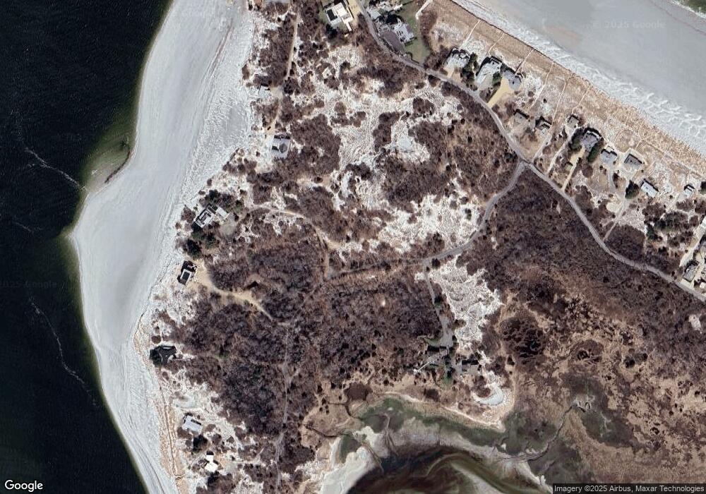
Map
Nearby Homes
- 226 Atlantic St
- 178 Atlantic St
- 167 Atlantic St
- 117 Bray St
- 15 Lufkin Point Rd
- 7 Leaman Dr
- 2 Breezy Point Rd
- 136 Leonard St
- 672 Washington St
- 13 Honeysuckle Rd
- 53 Concord St
- 587 Essex Ave
- 6-8 Joppa Way
- 154R Eastern Ave
- 4 Ciaramitaro Ct
- 3 Colburn St Unit 1
- 457 Washington St Unit 2
- 6 Stanwood Point Unit B
- 7 Colburn St
- 125 Eastern Ave
- 20 2 Penny Ln
- 18 2 Penny Ln
- 0 2 Penny Ln Unit 30749071
- 21 2 Penny Ln
- 33 2 Penny Ln
- 45 2 Penny Ln
- 132 Wingaersheek Rd
- 132 Wingaersheek Rd
- 39 2 Penny Ln
- 49 2 Penny Ln
- 123 Wingaersheek Rd
- 155 Wingaersheek Rd
- 117 Wingaersheek Rd
- 125 Wingaersheek Rd
- 111 Wingaersheek Rd
- 115 Wingaersheek Rd
- 127 Wingaersheek Rd
- 131 Wingaersheek Rd
- 119 Wingaersheek Rd
- 55 2 Penny Ln
Your Personal Tour Guide
Ask me questions while you tour the home.