19 Appleton Rd Westport Island, ME 04578
Estimated Value: $485,222 - $667,000
1
Bed
--
Bath
1,872
Sq Ft
$322/Sq Ft
Est. Value
About This Home
This home is located at 19 Appleton Rd, Westport Island, ME 04578 and is currently estimated at $603,556, approximately $322 per square foot. 19 Appleton Rd is a home.
Create a Home Valuation Report for This Property
The Home Valuation Report is an in-depth analysis detailing your home's value as well as a comparison with similar homes in the area
Home Values in the Area
Average Home Value in this Area
Tax History
We collect this data history from publicly available records. To have your information removed, we recommend requesting removal directly through your county’s website.
| Year | Tax Paid | Tax Assessment Tax Assessment Total Assessment is a certain percentage of the fair market value that is determined by local assessors to be the total taxable value of land and additions on the property. | Land | Improvement |
|---|---|---|---|---|
| 2025 | $3,307 | $389,027 | $198,616 | $190,411 |
| 2024 | $2,617 | $353,661 | $180,560 | $173,101 |
| 2023 | $2,171 | $331,471 | $158,370 | $173,101 |
| 2022 | $2,255 | $271,697 | $129,811 | $141,886 |
| 2021 | $2,146 | $271,697 | $129,811 | $141,886 |
| 2020 | $6,248 | $271,697 | $129,811 | $141,886 |
| 2019 | $2,030 | $271,697 | $129,811 | $141,886 |
| 2018 | $2,254 | $271,697 | $129,811 | $141,886 |
| 2016 | $1,956 | $271,697 | $129,811 | $141,886 |
| 2014 | $2,497 | $332,467 | $0 | $0 |
| 2013 | $2,577 | $332,467 | $176,678 | $155,789 |
Source: Public Records
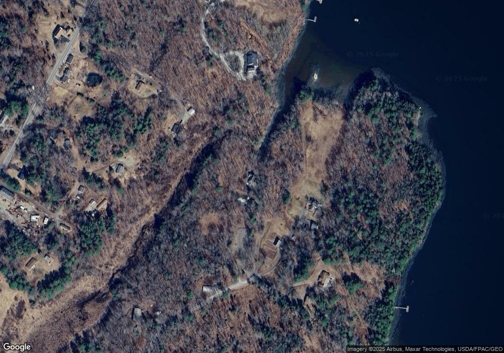
Map
Nearby Homes
- 26 Palmer Rd
- 27 Doggett Rd
- 6-60.3 Castle Ln
- Lot R05129 Polly Clark Brook
- 306 Cross Point Rd Unit A-Rear Lot
- 33 Taylor Rd
- 30 Taylor Rd
- 42 Lord Rd
- 15 Lewis Rd
- 0 Cushman Point Rd
- 50 Bunchberry Ln
- 34 Bunchberry Ln
- 64 Moose Walk
- 35 Bayview Dr
- 575 Main Rd
- 16 Otter Ln
- 3 Rocky Rd
- 138 Cross Point Rd
- 18 High Head Rd
- 72 Borski's Way
Your Personal Tour Guide
Ask me questions while you tour the home.