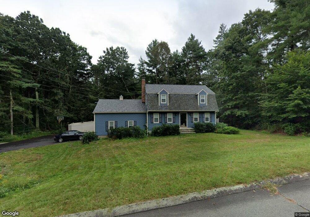
19 Beaverbrook Rd Norfolk, MA 02056
Norfolk AreaEstimated Value: $729,000 - $880,000
About This Home
This home is located at 19 Beaverbrook Rd, Norfolk, MA 02056 and is currently estimated at $787,249, approximately $409 per square foot. 19 Beaverbrook Rd is a home located in Norfolk County with nearby schools including H. Olive Day School and Freeman-Kennedy School.
Ownership History
We collect this data history from publicly available records. To have your information removed, we recommend requesting removal directly through your county’s website.
Purchase Details
Home Values in the Area
Average Home Value in this Area
Purchase History
We collect this data history from publicly available records. To have your information removed, we recommend requesting removal directly through your county’s website.
| Date | Buyer | Sale Price | Title Company |
|---|---|---|---|
| $452,000 | -- |
Mortgage History
We collect this data history from publicly available records. To have your information removed, we recommend requesting removal directly through your county’s website.
| Date | Status | Borrower | Loan Amount |
|---|---|---|---|
| Open | $329,700 | ||
| Closed | $357,500 | ||
| Closed | $357,500 |
Tax History
We collect this data history from publicly available records. To have your information removed, we recommend requesting removal directly through your county’s website.
| Year | Tax Paid | Tax Assessment Tax Assessment Total Assessment is a certain percentage of the fair market value that is determined by local assessors to be the total taxable value of land and additions on the property. | Land | Improvement |
|---|---|---|---|---|
| 2025 | $9,485 | $593,900 | $213,700 | $380,200 |
| 2024 | $8,962 | $575,600 | $213,700 | $361,900 |
| 2023 | $8,975 | $546,900 | $213,700 | $333,200 |
| 2022 | $8,488 | $466,400 | $199,900 | $266,500 |
| 2021 | $8,265 | $459,400 | $194,200 | $265,200 |
| 2020 | $8,039 | $431,300 | $176,400 | $254,900 |
| 2019 | $7,749 | $423,700 | $176,400 | $247,300 |
| 2018 | $7,463 | $400,800 | $176,400 | $224,400 |
| 2017 | $7,357 | $403,800 | $176,400 | $227,400 |
| 2016 | $7,223 | $399,500 | $176,400 | $223,100 |
| 2015 | $6,960 | $394,100 | $168,000 | $226,100 |
| 2014 | $6,826 | $391,600 | $168,000 | $223,600 |
Map
- 16 Beaverbrook Rd
- 19 King St
- 70 Mirror Lake Ave Unit 70
- 46 King St
- 7 Chickadee Dr
- 0 W Birch Rd
- 4 Quail Run Rd
- 3 Bristol Pond Dr
- 21 Bridie Ln
- 21 Marshall St
- 8 Weber Farm Rd Unit 8
- 4 Weber Farm Rd Unit 4
- 165 Harvard Ln
- 6 Trailside Way
- 45 Park St
- 371 & 377 Franklin St
- 424 Dedham St
- 18 Shears St
- 7 Keeney Pond Rd
- 723 Dedham St
- 7 Blueberry Ln
- 17 Beaverbrook Rd
- 18 Beaverbrook Rd
- 3 Blueberry Ln
- 4 Blueberry Ln
- 16 Beaverbrook Rd Unit 53
- 8 Blueberry Ln
- 10 Blueberry Ln
- 15 Beaverbrook Rd
- 2 Blueberry Ln
- 1 Blueberry Ln
- 14 Beaverbrook Rd
- 23 Longmeadow Rd
- 23 Beaverbrook Rd
- 21 Longmeadow Rd
- 11 Beaverbrook Rd
- 24 Beaverbrook Rd
- 19 Longmeadow Rd
- 26 Longmeadow Rd
- 24 Longmeadow Rd
Ask me questions while you tour the home.