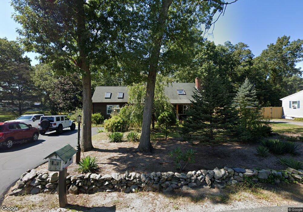
19 Cumberland St Attleboro, MA 02703
Estimated Value: $584,000 - $628,000
About This Home
This home is located at 19 Cumberland St, Attleboro, MA 02703 and is currently estimated at $600,596, approximately $356 per square foot. 19 Cumberland St is a home located in Bristol County with nearby schools including Hill-Roberts Elementary School, Robert J. Coelho Middle School, and Attleboro High School.
Ownership History
We collect this data history from publicly available records. To have your information removed, we recommend requesting removal directly through your county’s website.
Purchase Details
Home Values in the Area
Average Home Value in this Area
Purchase History
We collect this data history from publicly available records. To have your information removed, we recommend requesting removal directly through your county’s website.
| Date | Buyer | Sale Price | Title Company |
|---|---|---|---|
| -- | -- |
Mortgage History
We collect this data history from publicly available records. To have your information removed, we recommend requesting removal directly through your county’s website.
| Date | Status | Borrower | Loan Amount |
|---|---|---|---|
| Open | $50,000 | ||
| Open | $120,000 | ||
| Closed | $50,000 |
Tax History
We collect this data history from publicly available records. To have your information removed, we recommend requesting removal directly through your county’s website.
| Year | Tax Paid | Tax Assessment Tax Assessment Total Assessment is a certain percentage of the fair market value that is determined by local assessors to be the total taxable value of land and additions on the property. | Land | Improvement |
|---|---|---|---|---|
| 2025 | $6,310 | $502,800 | $177,200 | $325,600 |
| 2024 | $5,886 | $462,400 | $159,500 | $302,900 |
| 2023 | $5,685 | $415,300 | $158,400 | $256,900 |
| 2022 | $5,383 | $372,500 | $151,000 | $221,500 |
| 2021 | $5,171 | $349,400 | $145,200 | $204,200 |
| 2020 | $4,901 | $336,600 | $138,600 | $198,000 |
| 2019 | $5,313 | $326,100 | $136,000 | $190,100 |
| 2018 | $4,304 | $296,600 | $132,000 | $164,600 |
| 2017 | $3,386 | $289,100 | $128,600 | $160,500 |
| 2016 | $4,000 | $269,900 | $120,000 | $149,900 |
| 2015 | $3,783 | $257,200 | $120,000 | $137,200 |
| 2014 | $3,696 | $248,900 | $114,800 | $134,100 |
Map
- 11 Crowell St
- 59 Castle Rd
- 3 Roundtable Rd
- 44 Castle Rd
- 120 Carrier Ave
- 27 Castle Rd Unit 153
- 3 Robin Hood Ln Unit 179
- 519 Mendon Rd Unit 519
- 417 Brown St Unit 2
- 44 Tomlinson Rd
- 9 Kinsman St
- 7 Kinsman St
- 55 Leedham St Unit 1-11
- 353 High St
- 23 Magnolia St Unit 2
- 49 Brown St
- 9 Romoli Ave Unit 9
- 84 W Earle St
- 74 Williams St
- 221 Curran Rd
- LOT 2 Deanville Rd
- LOT 26 Milosh Estates
- LOT 9 Myrtle Ct
- LOT 1 Russell Tennant Dr
- LOT2 Christopher Dr
- LOT 24 Lussier Ave
- LOT B Rocklawn Ave
- 25 Cumberland St
- 24 Cumberland St
- 17 Walnut Ln
- 15 Cumberland St
- 12 Cumberland St
- 15 Oak Ave
- 35 Cumberland St
- 32 Cumberland St
- 6 Cumberland St
- 7 Oak Ave
- 1 Oak Ave
- 1 Oak Ave
- 1 Oak Ave
Ask me questions while you tour the home.