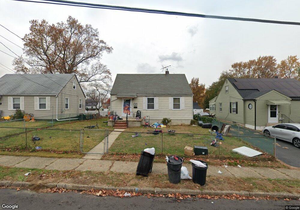
19 E 10th Ave Runnemede, NJ 08078
Estimated Value: $247,758 - $367,000
Studio
--
Bath
360
Sq Ft
$802/Sq Ft
Est. Value
About This Home
This home is located at 19 E 10th Ave, Runnemede, NJ 08078 and is currently estimated at $288,690, approximately $801 per square foot. 19 E 10th Ave is a home located in Camden County with nearby schools including Mary E. Volz Elementary School, Downing Elementary School, and Triton High School.
Ownership History
Date
Name
Owned For
Owner Type
Purchase Details
Closed on
Sep 26, 2001
Sold by
Federal Housing Administration
Bought by
Sherman Daniel R and Sherman Maryrose
Current Estimated Value
Purchase Details
Closed on
Jun 2, 1995
Sold by
Estate Leona Thom
Bought by
Barteaux Norman and Lonig Brenda
Home Financials for this Owner
Home Financials are based on the most recent Mortgage that was taken out on this home.
Original Mortgage
$71,000
Interest Rate
8.21%
Mortgage Type
FHA
Create a Home Valuation Report for This Property
The Home Valuation Report is an in-depth analysis detailing your home's value as well as a comparison with similar homes in the area
Home Values in the Area
Average Home Value in this Area
Purchase History
We collect this data history from publicly available records. To have your information removed, we recommend requesting removal directly through your county’s website.
| Date | Buyer | Sale Price | Title Company |
|---|---|---|---|
| Sherman Daniel R | $65,000 | -- | |
| Barteaux Norman | $71,000 | -- |
Source: Public Records
Mortgage History
We collect this data history from publicly available records. To have your information removed, we recommend requesting removal directly through your county’s website.
| Date | Status | Borrower | Loan Amount |
|---|---|---|---|
| Previous Owner | Barteaux Norman | $71,000 |
Source: Public Records
Tax History
| Year | Tax Paid | Tax Assessment Tax Assessment Total Assessment is a certain percentage of the fair market value that is determined by local assessors to be the total taxable value of land and additions on the property. | Land | Improvement |
|---|---|---|---|---|
| 2025 | $5,283 | $110,500 | $44,500 | $66,000 |
| 2024 | $4,828 | $110,500 | $44,500 | $66,000 |
| 2023 | $4,828 | $110,500 | $44,500 | $66,000 |
| 2022 | $4,674 | $110,500 | $44,500 | $66,000 |
| 2021 | $4,564 | $110,500 | $44,500 | $66,000 |
| 2020 | $4,518 | $110,500 | $44,500 | $66,000 |
| 2019 | $4,435 | $110,500 | $44,500 | $66,000 |
| 2018 | $4,350 | $110,500 | $44,500 | $66,000 |
| 2017 | $4,239 | $110,500 | $44,500 | $66,000 |
| 2016 | $4,186 | $110,500 | $44,500 | $66,000 |
| 2015 | $4,198 | $110,500 | $44,500 | $66,000 |
| 2014 | $4,144 | $110,500 | $44,500 | $66,000 |
Source: Public Records
Map
Nearby Homes
- 846 N Oakland Ave
- 227 Garden Terrace
- 233 Garden Terrace
- 232 Garden Terrace
- 511 N Black Horse Pike
- 225 Union Ave
- 850 Orchard Ave
- 120 E 4th Ave
- 22 W 4th Ave
- 319 Bowers Ave
- 878 Crescent Ave
- 39 E 2nd Ave
- 847 Crescent Ave
- 94 E Browning Rd
- 120 Bowers Ave
- 35 Saint Charles Place
- 30 Saint Charles Place
- 405 Lincoln Ave
- 33 Railroad Ave
- 401 Chester Ave
Your Personal Tour Guide
Ask me questions while you tour the home.