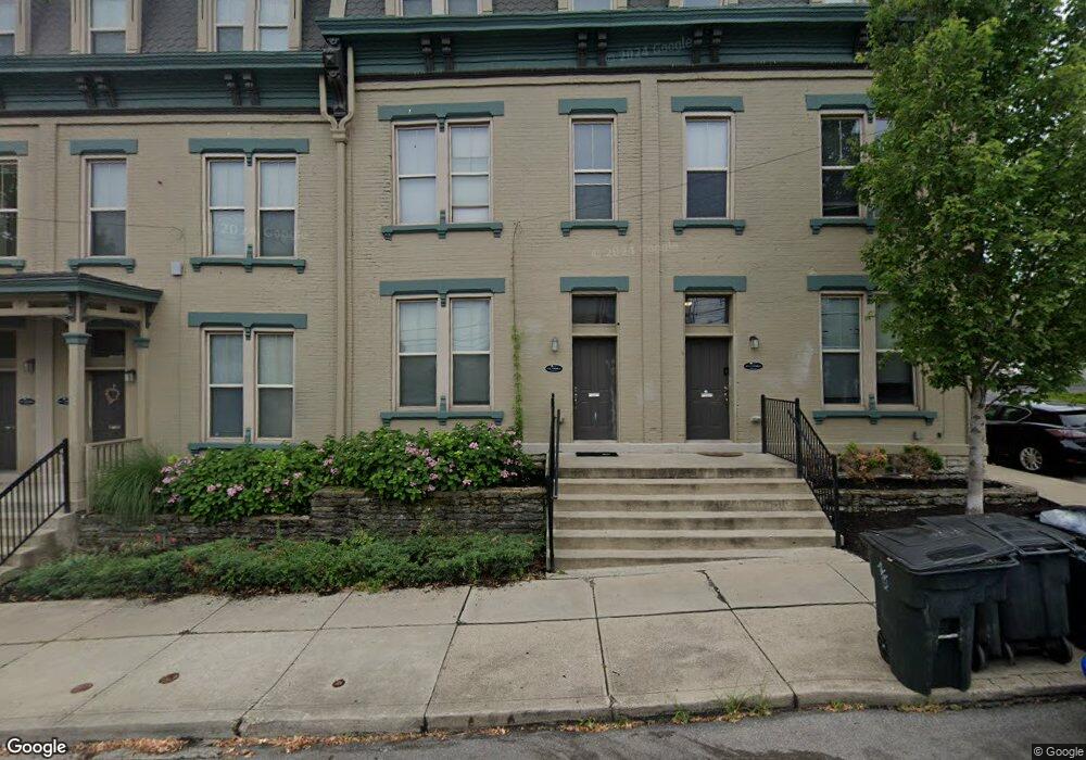
19 E Daniels St Cincinnati, OH 45219
Corryville NeighborhoodEstimated Value: $279,528 - $376,000
About This Home
This home is located at 19 E Daniels St, Cincinnati, OH 45219 and is currently estimated at $332,882, approximately $158 per square foot. 19 E Daniels St is a home located in Hamilton County with nearby schools including William H. Taft Elementary School, Robert A. Taft Information Technology High School, and Clark Montessori High School.
Ownership History
We collect this data history from publicly available records. To have your information removed, we recommend requesting removal directly through your county’s website.
Purchase Details
Home Financials for this Owner
Home Financials are based on the most recent Mortgage that was taken out on this home.Purchase Details
Purchase Details
Purchase Details
Purchase Details
Purchase Details
Purchase Details
Home Financials for this Owner
Home Financials are based on the most recent Mortgage that was taken out on this home.Home Values in the Area
Average Home Value in this Area
Purchase History
We collect this data history from publicly available records. To have your information removed, we recommend requesting removal directly through your county’s website.
| Date | Buyer | Sale Price | Title Company |
|---|---|---|---|
| -- | Attorney | ||
| $23,000 | Attorney | ||
| $23,000 | American Homeland Title Agen | ||
| $39,000 | None Available | ||
| $55,000 | -- | ||
| $66,000 | -- | ||
| $111,900 | First Service Title Agency I |
Mortgage History
We collect this data history from publicly available records. To have your information removed, we recommend requesting removal directly through your county’s website.
| Date | Status | Borrower | Loan Amount |
|---|---|---|---|
| Closed | $990,000 | ||
| Previous Owner | $100,700 |
Tax History
We collect this data history from publicly available records. To have your information removed, we recommend requesting removal directly through your county’s website.
| Year | Tax Paid | Tax Assessment Tax Assessment Total Assessment is a certain percentage of the fair market value that is determined by local assessors to be the total taxable value of land and additions on the property. | Land | Improvement |
|---|---|---|---|---|
| 2025 | $3,283 | $51,790 | $6,857 | $44,933 |
| 2023 | $3,284 | $51,790 | $6,857 | $44,933 |
| 2022 | $2,382 | $33,765 | $3,346 | $30,419 |
| 2021 | $2,341 | $33,765 | $3,346 | $30,419 |
| 2020 | $2,348 | $33,765 | $3,346 | $30,419 |
| 2019 | $2,344 | $30,696 | $3,042 | $27,654 |
| 2018 | $2,346 | $30,696 | $3,042 | $27,654 |
| 2017 | $2,259 | $30,696 | $3,042 | $27,654 |
| 2016 | $1,948 | $25,809 | $2,765 | $23,044 |
| 2015 | $1,741 | $25,809 | $2,765 | $23,044 |
| 2014 | $1,751 | $25,809 | $2,765 | $23,044 |
| 2013 | $1,781 | $25,809 | $2,765 | $23,044 |
Map
- 2701 Euclid Ave
- 2704 Euclid Ave
- 2606 Short Vine St
- 2804 Eden Ave
- 2910 Euclid Ave
- 203 E University Ave
- 2661 Bellevue Ave
- 2913 Eden Ave
- 2926 Eden Ave
- 2656 Bellevue Ave
- 2924 Eden Ave
- 61 William Howard Taft Rd
- 2923 Gerard St
- 218 Donahue St
- 112 E Mcmillan St
- 2927 Bellevue Ave
- 215 Stetson St
- 2478 Paris St
- 3 Estelle St
- 238 Helen St
- 2717 Euclid Ave
- 2713 Euclid Ave
- 2718 Van St
- 2720 Van St
- 2722 Van St
- 2724 Van St
- 2726 Van St
- 2707 Euclid Ave
- 23 E Daniels St
- 2705 Euclid Ave
- 21 E Daniels St
- 17 E Daniels St
- 2721-2727 Euclid Ave
- 2710 Euclid Ave
- 2712 Euclid Ave
- 2708 Euclid Ave
- 2714 Euclid Ave
- 2706 Euclid Ave
- 2716 Euclid Ave
- 03 Euclid Ave
Ask me questions while you tour the home.