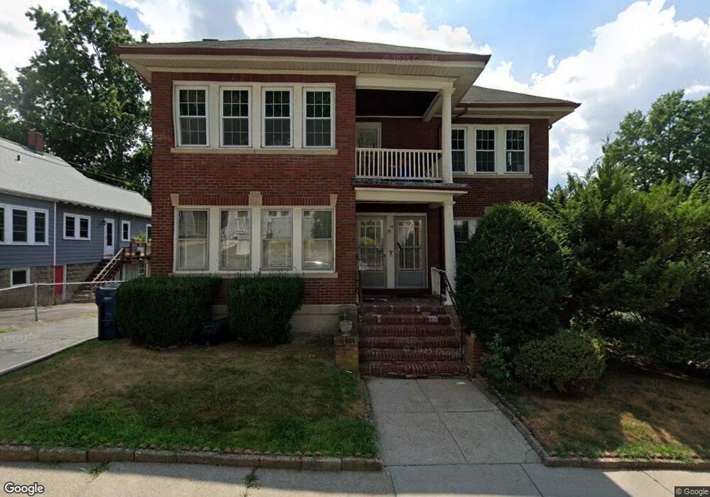
19 Hemman St Unit 21 Roslindale, MA 02131
Roslindale NeighborhoodEstimated Value: $885,749 - $984,000
6
Beds
2
Baths
3,504
Sq Ft
$264/Sq Ft
Est. Value
About This Home
This home is located at 19 Hemman St Unit 21, Roslindale, MA 02131 and is currently estimated at $925,937, approximately $264 per square foot. 19 Hemman St Unit 21 is a home located in Suffolk County with nearby schools including Brooke Charter School Roslindale, Sacred Heart STEM School, and St. Clare High School.
Ownership History
Date
Name
Owned For
Owner Type
Purchase Details
Closed on
Aug 28, 2025
Sold by
Khanbegian Richard
Bought by
Vavvas Dimitrios
Current Estimated Value
Purchase Details
Closed on
Jul 2, 2009
Sold by
Khanbegian Anahid
Bought by
Khanbegian Anahid and Khanbegian Richard C
Create a Home Valuation Report for This Property
The Home Valuation Report is an in-depth analysis detailing your home's value as well as a comparison with similar homes in the area
Home Values in the Area
Average Home Value in this Area
Purchase History
| Date | Buyer | Sale Price | Title Company |
|---|---|---|---|
| Vavvas Dimitrios | $900,000 | -- | |
| Vavvas Dimitrios | $900,000 | -- | |
| Khanbegian Anahid | -- | -- | |
| Khanbegian Anahid D | -- | -- | |
| Khanbegian Anahid D | -- | -- |
Source: Public Records
Mortgage History
| Date | Status | Borrower | Loan Amount |
|---|---|---|---|
| Previous Owner | Khanbegian Anahid D | $100,000 |
Source: Public Records
Tax History
| Year | Tax Paid | Tax Assessment Tax Assessment Total Assessment is a certain percentage of the fair market value that is determined by local assessors to be the total taxable value of land and additions on the property. | Land | Improvement |
|---|---|---|---|---|
| 2025 | $10,398 | $897,900 | $263,300 | $634,600 |
| 2024 | $9,688 | $888,800 | $272,400 | $616,400 |
| 2023 | $9,177 | $854,500 | $261,900 | $592,600 |
| 2022 | $8,452 | $776,800 | $238,100 | $538,700 |
| 2021 | $8,126 | $761,600 | $233,400 | $528,200 |
| 2020 | $7,468 | $707,200 | $209,800 | $497,400 |
| 2019 | $7,042 | $668,100 | $182,100 | $486,000 |
| 2018 | $6,607 | $630,400 | $182,100 | $448,300 |
| 2017 | $6,543 | $617,800 | $182,100 | $435,700 |
| 2016 | $6,295 | $572,300 | $182,100 | $390,200 |
| 2015 | $5,958 | $492,000 | $170,700 | $321,300 |
| 2014 | $5,526 | $439,300 | $170,700 | $268,600 |
Source: Public Records
Map
Nearby Homes
- 5 7 Hemman St
- 142 Metropolitan Ave Unit 2
- 142 Metropolitan Ave Unit 1
- 142 Metropolitan Ave
- 55 Metropolitan Ave
- 498 Beech St
- 4464-4468 Washington St
- 11 Hillview Ave
- 6 Hayes Rd Unit 25
- 222 Roslindale Ave Unit 1
- 778 W Roxbury Pkwy
- 8 Kittredge St Unit 10
- 15 Hillock St Unit 2
- 36 Orange St
- 2 Florence St
- 73 Westbourne St
- 55 Brown Ave
- 46 Belgrade Ave Unit 2
- 6 Pinedale Rd Unit 1
- 11 Sherwood St Unit 1
Your Personal Tour Guide
Ask me questions while you tour the home.