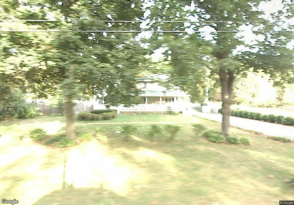
19 Jaeger Dr Westfield, MA 01085
Estimated Value: $380,000 - $639,000
About This Home
This home is located at 19 Jaeger Dr, Westfield, MA 01085 and is currently estimated at $487,462, approximately $332 per square foot. 19 Jaeger Dr is a home located in Hampden County with nearby schools including Westfield High School, Westfield Christian Academy, and White Oak School.
Ownership History
We collect this data history from publicly available records. To have your information removed, we recommend requesting removal directly through your county’s website.
Purchase Details
Home Financials for this Owner
Home Financials are based on the most recent Mortgage that was taken out on this home.Home Values in the Area
Average Home Value in this Area
Purchase History
We collect this data history from publicly available records. To have your information removed, we recommend requesting removal directly through your county’s website.
| Date | Buyer | Sale Price | Title Company |
|---|---|---|---|
| $124,900 | -- |
Mortgage History
We collect this data history from publicly available records. To have your information removed, we recommend requesting removal directly through your county’s website.
| Date | Status | Borrower | Loan Amount |
|---|---|---|---|
| Open | $118,655 | ||
| Previous Owner | $118,500 |
Tax History
We collect this data history from publicly available records. To have your information removed, we recommend requesting removal directly through your county’s website.
| Year | Tax Paid | Tax Assessment Tax Assessment Total Assessment is a certain percentage of the fair market value that is determined by local assessors to be the total taxable value of land and additions on the property. | Land | Improvement |
|---|---|---|---|---|
| 2025 | $6,312 | $415,800 | $118,400 | $297,400 |
| 2024 | $6,343 | $397,200 | $107,600 | $289,600 |
| 2023 | $5,872 | $357,800 | $102,300 | $255,500 |
| 2022 | $5,872 | $317,600 | $91,300 | $226,300 |
| 2021 | $5,702 | $302,000 | $86,200 | $215,800 |
| 2020 | $5,511 | $286,300 | $86,200 | $200,100 |
| 2019 | $5,395 | $274,300 | $82,100 | $192,200 |
| 2018 | $5,128 | $264,900 | $82,100 | $182,800 |
| 2017 | $5,018 | $258,400 | $83,200 | $175,200 |
| 2016 | $5,023 | $258,400 | $83,200 | $175,200 |
| 2015 | $4,603 | $248,300 | $83,200 | $165,100 |
| 2014 | $3,444 | $248,300 | $83,200 | $165,100 |
Map
- 100 Pequot Rd
- 115 New Broadway
- Lot 1 Nathaniel Hill
- 0 Char Dr
- 10 Scenic Rd
- 85 Otter Point Rd
- 868 Southampton Rd Unit 43
- 238 Dox Rd
- 55 Pequot Rd
- 139 Middle Rd
- 212 Rose Anna Ct
- Lot 7,199 Pequot Rd
- 22 Bluemer Rd
- 71 Sun Valley Rd
- 37 Sun Valley Rd
- 34 Bissonnette Cir
- Lot 5 Brickyard Rd
- 15 Blue Sky Dr
- 38 Klondike Ave
- 36 Klondike Ave Unit Ave
Ask me questions while you tour the home.