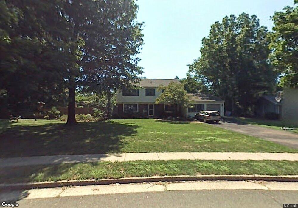
19 Macafee Rd Somerset, NJ 08873
Franklin AreaEstimated Value: $670,000 - $734,000
About This Home
This home is located at 19 Macafee Rd, Somerset, NJ 08873 and is currently estimated at $707,267, approximately $324 per square foot. 19 Macafee Rd is a home located in Somerset County with nearby schools including Franklin High School, Cedar Hill Prep School, and New Road School of Somerset.
Ownership History
We collect this data history from publicly available records. To have your information removed, we recommend requesting removal directly through your county’s website.
Purchase Details
Home Values in the Area
Average Home Value in this Area
Purchase History
We collect this data history from publicly available records. To have your information removed, we recommend requesting removal directly through your county’s website.
| Date | Buyer | Sale Price | Title Company |
|---|---|---|---|
| $498,000 | -- |
Tax History
We collect this data history from publicly available records. To have your information removed, we recommend requesting removal directly through your county’s website.
| Year | Tax Paid | Tax Assessment Tax Assessment Total Assessment is a certain percentage of the fair market value that is determined by local assessors to be the total taxable value of land and additions on the property. | Land | Improvement |
|---|---|---|---|---|
| 2026 | $11,454 | $650,400 | $371,800 | $278,600 |
| 2025 | $10,247 | $650,400 | $371,800 | $278,600 |
| 2024 | $10,247 | $562,400 | $371,800 | $190,600 |
| 2023 | $9,941 | $512,400 | $321,800 | $190,600 |
| 2022 | $9,265 | $452,400 | $261,800 | $190,600 |
| 2021 | $8,492 | $399,000 | $211,800 | $187,200 |
| 2020 | $8,668 | $379,000 | $191,800 | $187,200 |
| 2019 | $8,553 | $369,000 | $181,800 | $187,200 |
| 2018 | $8,056 | $344,000 | $156,800 | $187,200 |
| 2017 | $7,735 | $329,000 | $141,800 | $187,200 |
| 2016 | $7,445 | $314,000 | $126,800 | $187,200 |
| 2015 | $7,630 | $324,000 | $136,800 | $187,200 |
| 2014 | $7,262 | $313,000 | $125,800 | $187,200 |
Map
- 11 Marigold Ln
- 66 Johnson Rd
- 16 Neptune Ct
- 44 Drake Rd
- 189 Berger St
- 13 Abbott Rd
- 331 Girard Ave
- 219 Berger St
- 163 John F. Kennedy Blvd
- 217 W Point Ave
- 6 Concord Dr
- 403 Girard Ave
- 23 Sweetbriar Rd
- 105 Berger St
- 196 Girard Ave
- 19 Renfro Rd
- 192 E Hillcrest Ave
- 193 Hillcrest Ave
- 456 Girard Ave
- 5 Appleman Rd
Ask me questions while you tour the home.