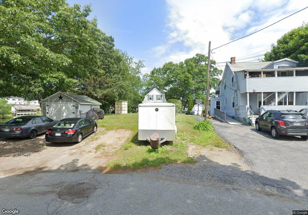
19 Manor Rd Millbury, MA 01527
Estimated Value: $250,000 - $481,000
2
Beds
2
Baths
924
Sq Ft
$443/Sq Ft
Est. Value
About This Home
This home is located at 19 Manor Rd, Millbury, MA 01527 and is currently estimated at $409,139, approximately $442 per square foot. 19 Manor Rd is a home located in Worcester County with nearby schools including Elmwood Street Elementary School, Raymond E. Shaw Elementary School, and Millbury Junior/Senior High School.
Ownership History
Date
Name
Owned For
Owner Type
Purchase Details
Closed on
Jan 28, 2020
Sold by
Ethier Cole
Bought by
Cole Ethier 2020 Ret and Ethier
Current Estimated Value
Purchase Details
Closed on
Oct 27, 2006
Sold by
Ethier Cathy
Bought by
Ethier Cole
Home Financials for this Owner
Home Financials are based on the most recent Mortgage that was taken out on this home.
Original Mortgage
$102,000
Interest Rate
6.48%
Mortgage Type
Purchase Money Mortgage
Purchase Details
Closed on
Aug 4, 2006
Sold by
Morin Gertrude I and Ethier Cathy
Bought by
Ethier Cathy and Ethier Cole
Create a Home Valuation Report for This Property
The Home Valuation Report is an in-depth analysis detailing your home's value as well as a comparison with similar homes in the area
Home Values in the Area
Average Home Value in this Area
Purchase History
| Date | Buyer | Sale Price | Title Company |
|---|---|---|---|
| Cole Ethier 2020 Ret | -- | None Available | |
| Cole Ethier 2020 Ret | -- | None Available | |
| Ethier Cole | -- | -- | |
| Ethier Cole | -- | -- | |
| Ethier Cole | -- | -- | |
| Ethier Cathy | -- | -- | |
| Ethier Cathy | -- | -- |
Source: Public Records
Mortgage History
| Date | Status | Borrower | Loan Amount |
|---|---|---|---|
| Previous Owner | Ethier Cathy | $101,000 | |
| Previous Owner | Ethier Cole | $102,000 |
Source: Public Records
Tax History
| Year | Tax Paid | Tax Assessment Tax Assessment Total Assessment is a certain percentage of the fair market value that is determined by local assessors to be the total taxable value of land and additions on the property. | Land | Improvement |
|---|---|---|---|---|
| 2025 | $6,717 | $501,678 | $341,578 | $160,100 |
| 2024 | $6,154 | $465,154 | $316,254 | $148,900 |
| 2023 | $4,334 | $299,939 | $163,839 | $136,100 |
| 2022 | $4,276 | $285,039 | $163,839 | $121,200 |
| 2021 | $4,321 | $280,039 | $163,839 | $116,200 |
| 2020 | $3,767 | $245,700 | $136,500 | $109,200 |
| 2019 | $3,554 | $224,200 | $124,000 | $100,200 |
| 2018 | $3,363 | $205,800 | $124,000 | $81,800 |
| 2017 | $2,645 | $161,000 | $124,000 | $37,000 |
| 2016 | $2,648 | $160,900 | $124,000 | $36,900 |
| 2015 | $2,750 | $167,100 | $131,900 | $35,200 |
| 2014 | $2,134 | $124,800 | $95,600 | $29,200 |
Source: Public Records
Map
Nearby Homes
- 2 Wilson Rd Unit B
- 2 Wilson Rd Unit A
- 25 Upton St
- 2 Diane St
- 2 Riverlin Pkwy
- 12 Irene Ct
- 10 Logan's Run Unit 10
- 18 Lincoln Ave
- 17 Lincoln Ave
- 75 Main St
- 38 Garnet St
- 1459 Grafton Rd
- 11 Maplewood Rd
- 4 John Dr
- 5 Ann Dr Unit 5
- 7 Canal St
- 37-39 Main St
- 457 Granite St
- 5 Lincoln Ln Unit 5
- 0 Worcester Providence Turnpike
Your Personal Tour Guide
Ask me questions while you tour the home.