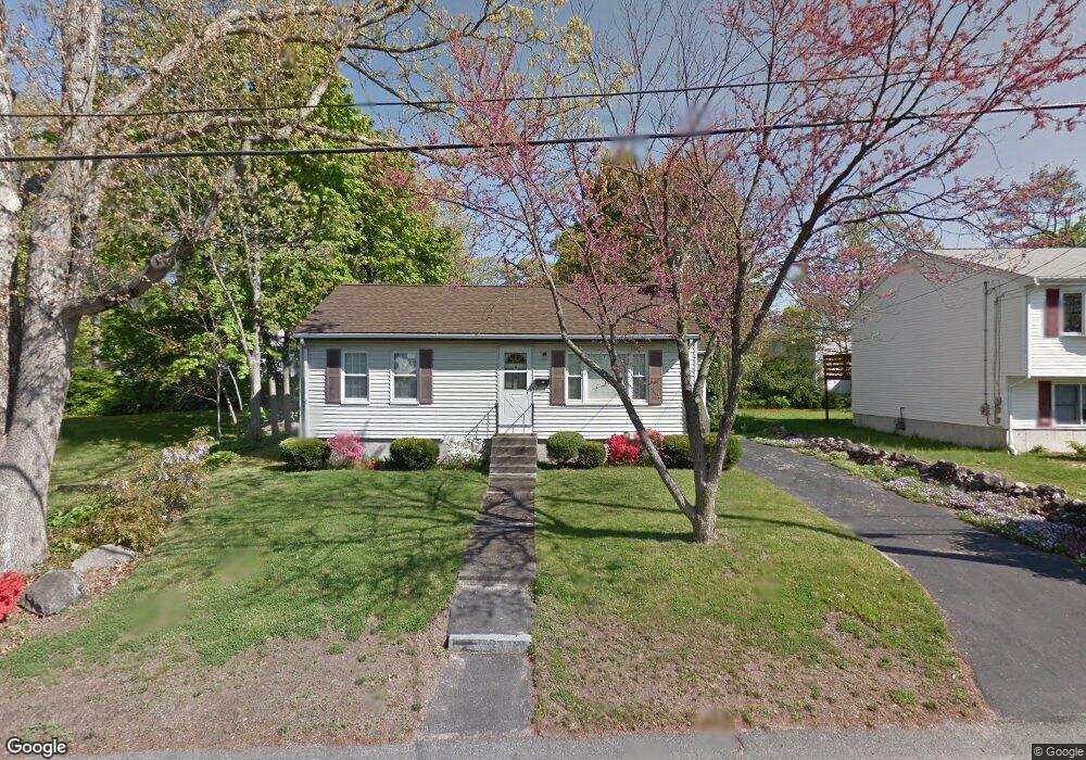
19 Pauline St Randolph, MA 02368
North Randolph NeighborhoodEstimated Value: $450,000 - $554,000
2
Beds
2
Baths
720
Sq Ft
$669/Sq Ft
Est. Value
About This Home
This home is located at 19 Pauline St, Randolph, MA 02368 and is currently estimated at $481,746, approximately $669 per square foot. 19 Pauline St is a home located in Norfolk County with nearby schools including Randolph High School and Lighthouse Baptist Christian Academy.
Ownership History
Date
Name
Owned For
Owner Type
Purchase Details
Closed on
Sep 16, 2024
Sold by
Malinowski Lien
Bought by
Limali Nt and Dong
Current Estimated Value
Purchase Details
Closed on
Jul 31, 1984
Bought by
Malinowski Steven and Malinowski Lien
Create a Home Valuation Report for This Property
The Home Valuation Report is an in-depth analysis detailing your home's value as well as a comparison with similar homes in the area
Home Values in the Area
Average Home Value in this Area
Purchase History
We collect this data history from publicly available records. To have your information removed, we recommend requesting removal directly through your county’s website.
| Date | Buyer | Sale Price | Title Company |
|---|---|---|---|
| Limali Nt | -- | None Available | |
| Limali Nt | -- | None Available | |
| Malinowski Steven | $68,900 | -- |
Source: Public Records
Tax History
| Year | Tax Paid | Tax Assessment Tax Assessment Total Assessment is a certain percentage of the fair market value that is determined by local assessors to be the total taxable value of land and additions on the property. | Land | Improvement |
|---|---|---|---|---|
| 2025 | $4,357 | $375,300 | $213,300 | $162,000 |
| 2024 | $4,087 | $356,900 | $209,100 | $147,800 |
| 2023 | $4,060 | $336,100 | $190,100 | $146,000 |
| 2022 | $3,944 | $290,000 | $158,400 | $131,600 |
| 2021 | $3,794 | $256,700 | $131,900 | $124,800 |
| 2020 | $3,817 | $256,000 | $131,900 | $124,100 |
| 2019 | $3,666 | $244,700 | $125,700 | $119,000 |
| 2018 | $3,378 | $212,700 | $114,300 | $98,400 |
| 2017 | $3,069 | $189,700 | $106,500 | $83,200 |
| 2016 | $2,996 | $172,300 | $96,900 | $75,400 |
| 2015 | $2,985 | $164,900 | $92,200 | $72,700 |
Source: Public Records
Map
Nearby Homes
- 13 Wordsworth St
- 7 Waldo St
- 1 Royal Crest Dr Unit 3
- 32 Hills St
- 55 Lillian St N
- 5 Oliver St
- 9 Denise Dr
- 304 High St
- 93 Morgan St
- 36 Sarah St
- 71 Rockefeller St
- 17 Norroway Ave
- 60 Pond Ln
- 232 Canton St Unit 107
- 232 Canton St Unit 112
- 232 Canton St Unit 104
- 232 Canton St Unit 206
- 12 Howard Ave
- 66 Orchard St
- 1707 Irving Rd
Your Personal Tour Guide
Ask me questions while you tour the home.