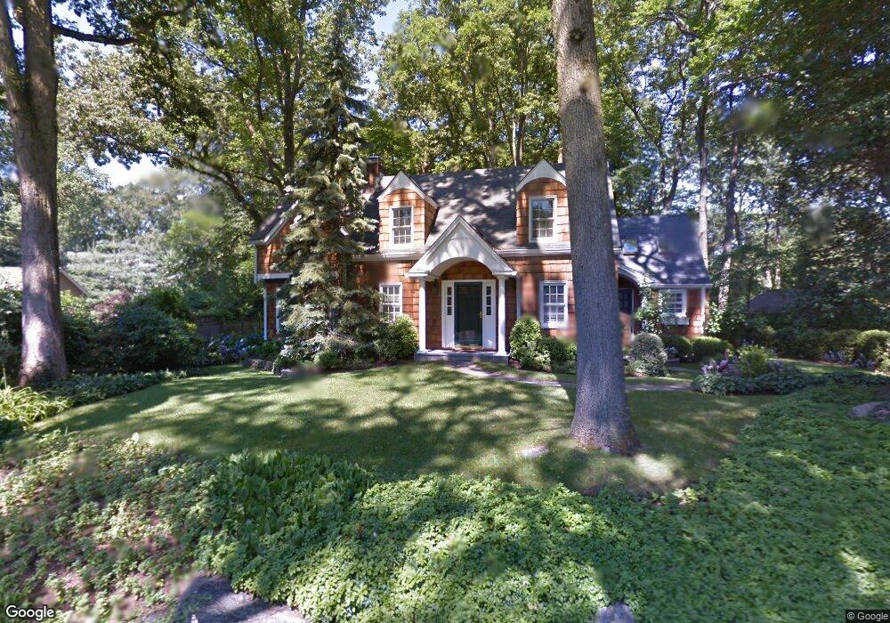
19 Range Rd Norwalk, CT 06853
Rowayton NeighborhoodEstimated Value: $1,422,000 - $1,892,252
2
Beds
3
Baths
2,228
Sq Ft
$729/Sq Ft
Est. Value
About This Home
This home is located at 19 Range Rd, Norwalk, CT 06853 and is currently estimated at $1,625,063, approximately $729 per square foot. 19 Range Rd is a home located in Fairfield County with nearby schools including Rowayton Elementary School, Roton Middle School, and Brien Mcmahon High School.
Ownership History
Date
Name
Owned For
Owner Type
Purchase Details
Closed on
Apr 28, 2020
Sold by
Burgess Lynne
Bought by
Lynne Burgess Ret
Current Estimated Value
Purchase Details
Closed on
Aug 6, 2002
Sold by
Tinnesz Christopher and Martin Karen
Bought by
Burgess Lynne A
Home Financials for this Owner
Home Financials are based on the most recent Mortgage that was taken out on this home.
Original Mortgage
$536,000
Interest Rate
5.88%
Purchase Details
Closed on
Sep 3, 1998
Sold by
Omeara Edward F and Omeara Cathy L
Bought by
Timnesz Christopher and Martin Karen
Purchase Details
Closed on
Nov 28, 1995
Sold by
Rodd Simon and Rodd Susan
Bought by
Omeara Edward and Omeara Cathy
Create a Home Valuation Report for This Property
The Home Valuation Report is an in-depth analysis detailing your home's value as well as a comparison with similar homes in the area
Home Values in the Area
Average Home Value in this Area
Purchase History
We collect this data history from publicly available records. To have your information removed, we recommend requesting removal directly through your county’s website.
| Date | Buyer | Sale Price | Title Company |
|---|---|---|---|
| Lynne Burgess Ret | -- | None Available | |
| Lynne Burgess Ret | -- | None Available | |
| Burgess Lynne A | $670,000 | -- | |
| Burgess Lynne A | $670,000 | -- | |
| Timnesz Christopher | $450,000 | -- | |
| Timnesz Christopher | $450,000 | -- | |
| Omeara Edward | $390,000 | -- | |
| Omeara Edward | $390,000 | -- |
Source: Public Records
Mortgage History
We collect this data history from publicly available records. To have your information removed, we recommend requesting removal directly through your county’s website.
| Date | Status | Borrower | Loan Amount |
|---|---|---|---|
| Previous Owner | Omeara Edward | $536,000 |
Source: Public Records
Tax History
| Year | Tax Paid | Tax Assessment Tax Assessment Total Assessment is a certain percentage of the fair market value that is determined by local assessors to be the total taxable value of land and additions on the property. | Land | Improvement |
|---|---|---|---|---|
| 2025 | $16,853 | $752,650 | $389,970 | $362,680 |
| 2024 | $16,594 | $752,650 | $389,970 | $362,680 |
| 2023 | $13,384 | $559,410 | $276,230 | $283,180 |
| 2022 | $12,832 | $559,480 | $276,300 | $283,180 |
| 2021 | $12,096 | $545,610 | $276,230 | $269,380 |
| 2020 | $12,141 | $545,610 | $276,230 | $269,380 |
| 2019 | $11,673 | $545,610 | $276,230 | $269,380 |
| 2018 | $11,791 | $487,370 | $281,060 | $206,310 |
| 2017 | $11,362 | $487,380 | $281,060 | $206,320 |
| 2016 | $11,180 | $487,370 | $281,060 | $206,310 |
| 2015 | $11,136 | $487,360 | $281,050 | $206,310 |
| 2014 | $10,929 | $487,360 | $281,050 | $206,310 |
Source: Public Records
Map
Nearby Homes
- 12 Ledge Rd
- 8 Ledge Rd
- 22 Ledge Rd
- 5 Possum Cir
- 10 Hunt St
- 6 Belmont Place
- 9 Clifford St
- 60 Rowayton Woods Dr
- 9 Flicker Ln
- 27 Crest Rd
- 0 Meeker Ct
- 22 Rowayton Woods Dr
- 32 Rowayton Woods Dr Unit 32
- 5 Wilson Ave
- 370 Rowayton Ave
- 64 5 Mile River Rd
- 11 Charcoal Rd
- 376 Rowayton Ave
- 24 Deepwood Ln
- 14 5 Mile River Rd
Your Personal Tour Guide
Ask me questions while you tour the home.