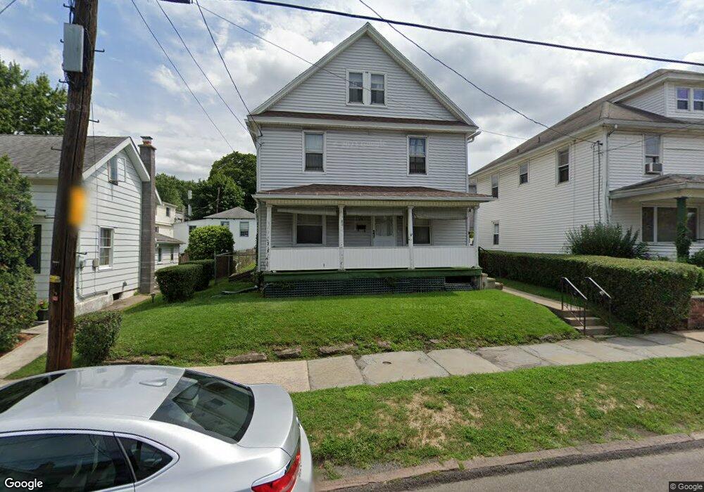
19 S Webster Ave Unit L19 Scranton, PA 18505
South Side NeighborhoodEstimated Value: $176,208 - $318,000
Studio
--
Bath
912
Sq Ft
$284/Sq Ft
Est. Value
About This Home
This home is located at 19 S Webster Ave Unit L19, Scranton, PA 18505 and is currently estimated at $258,802, approximately $283 per square foot. 19 S Webster Ave Unit L19 is a home located in Lackawanna County with nearby schools including John G. Whittier Elementary School, South Scranton Intermediate, and Scranton High School.
Ownership History
Date
Name
Owned For
Owner Type
Purchase Details
Closed on
Mar 16, 2017
Sold by
B Roc Realty Llc
Bought by
Yeakel Ellen
Current Estimated Value
Purchase Details
Closed on
Jul 12, 2016
Sold by
Herbster Anne F
Bought by
B Roc Realty Llc
Purchase Details
Closed on
May 26, 2015
Sold by
Herbster Anne F
Bought by
Herbster Anne F
Create a Home Valuation Report for This Property
The Home Valuation Report is an in-depth analysis detailing your home's value as well as a comparison with similar homes in the area
Home Values in the Area
Average Home Value in this Area
Purchase History
We collect this data history from publicly available records. To have your information removed, we recommend requesting removal directly through your county’s website.
| Date | Buyer | Sale Price | Title Company |
|---|---|---|---|
| Yeakel Ellen | $145,000 | None Available | |
| B Roc Realty Llc | $73,000 | None Available | |
| Herbster Anne F | -- | None Available |
Source: Public Records
Tax History
| Year | Tax Paid | Tax Assessment Tax Assessment Total Assessment is a certain percentage of the fair market value that is determined by local assessors to be the total taxable value of land and additions on the property. | Land | Improvement |
|---|---|---|---|---|
| 2026 | $28,721 | $167,490 | $45,880 | $121,610 |
| 2025 | $3,731 | $12,500 | $2,850 | $9,650 |
| 2024 | $3,189 | $12,500 | $2,850 | $9,650 |
| 2023 | $3,189 | $12,500 | $2,850 | $9,650 |
| 2022 | $2,992 | $12,500 | $2,850 | $9,650 |
| 2021 | $2,932 | $12,500 | $2,850 | $9,650 |
| 2020 | $2,932 | $12,500 | $2,850 | $9,650 |
| 2019 | $2,804 | $12,500 | $2,850 | $9,650 |
| 2018 | $2,758 | $12,500 | $2,850 | $9,650 |
| 2017 | $2,679 | $12,500 | $2,850 | $9,650 |
| 2016 | $1,411 | $12,500 | $2,850 | $9,650 |
| 2015 | -- | $12,500 | $2,850 | $9,650 |
| 2014 | -- | $12,500 | $2,850 | $9,650 |
Source: Public Records
Map
Nearby Homes
- 631-633 Moosic St
- 611 Moosic St
- 636 Orchard St
- 21 Rear Stafford Ave
- 917 Hemlock St
- 409 Prospect Ave
- 910 Orchard St
- 417 S Irving Ave
- 619 Hickory St
- 736 Hickory St
- 301 Harrison Ave
- 203 Stafford Ave
- 715 Alder St
- 518 Prospect Ave
- 506 Crown Ave
- 526 Hickory St
- 421 N Irving Ave
- 1019 Moosic St
- 430-432 Taylor Ave
- 342 Harrison Ave
- 703 Moosic St
- 703 Moosic St
- 705 Moosic St
- 701 Moosic St
- 701 Moosic St
- 23 S Webster Ave
- 707 Moosic St
- 19 S Webster Ave
- 708 Moosic St Unit WEB
- 15 S Webster Ave
- 15 S Webster Ave
- 715 Moosic St Unit 5
- 715 Moosic St Unit 1
- 715 Moosic St Unit 3
- 715 Moosic St Unit 2
- 715 Moosic St Unit 4
- 715 Moosic St
- 710 Moosic St
- 32 S Webster Ave
- 105 S Webster Ave
Your Personal Tour Guide
Ask me questions while you tour the home.