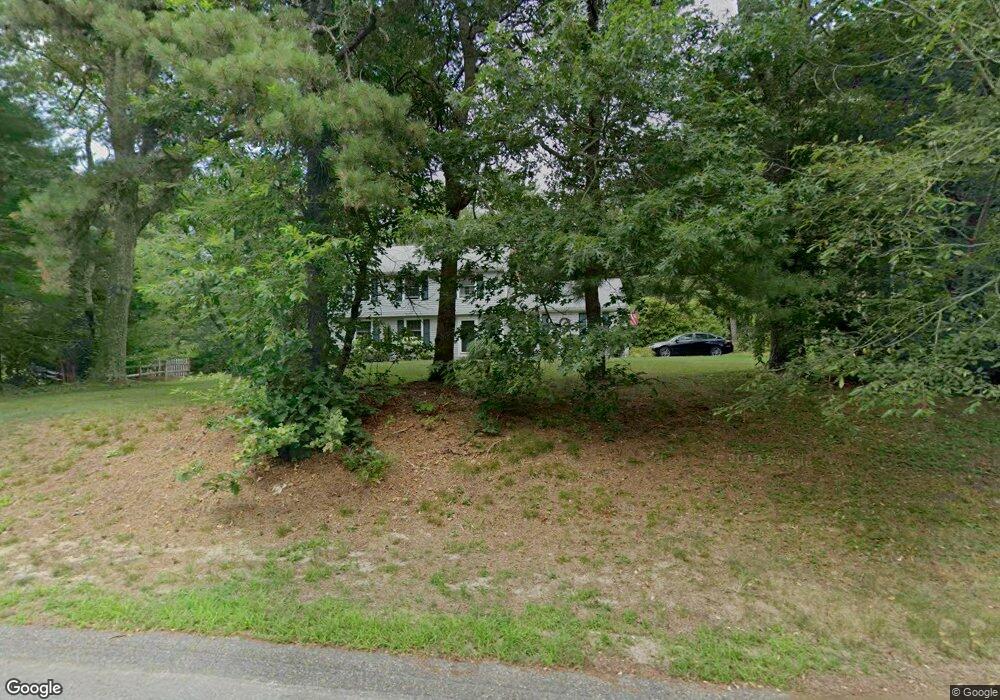
19 Stockade Path Duxbury, MA 02332
Estimated Value: $851,000 - $1,053,000
About This Home
This home is located at 19 Stockade Path, Duxbury, MA 02332 and is currently estimated at $965,342, approximately $508 per square foot. 19 Stockade Path is a home located in Plymouth County with nearby schools including Chandler Elementary School, Alden School, and Duxbury Middle School.
Ownership History
We collect this data history from publicly available records. To have your information removed, we recommend requesting removal directly through your county’s website.
Purchase Details
Purchase Details
Home Values in the Area
Average Home Value in this Area
Purchase History
We collect this data history from publicly available records. To have your information removed, we recommend requesting removal directly through your county’s website.
| Date | Buyer | Sale Price | Title Company |
|---|---|---|---|
| -- | -- | ||
| $253,500 | -- |
Mortgage History
We collect this data history from publicly available records. To have your information removed, we recommend requesting removal directly through your county’s website.
| Date | Status | Borrower | Loan Amount |
|---|---|---|---|
| Open | $175,000 | ||
| Previous Owner | $155,000 | ||
| Previous Owner | $154,000 |
Tax History
We collect this data history from publicly available records. To have your information removed, we recommend requesting removal directly through your county’s website.
| Year | Tax Paid | Tax Assessment Tax Assessment Total Assessment is a certain percentage of the fair market value that is determined by local assessors to be the total taxable value of land and additions on the property. | Land | Improvement |
|---|---|---|---|---|
| 2025 | $8,908 | $878,500 | $493,300 | $385,200 |
| 2024 | $8,572 | $852,100 | $471,500 | $380,600 |
| 2023 | $8,495 | $794,700 | $505,800 | $288,900 |
| 2022 | $7,654 | $596,100 | $321,400 | $274,700 |
| 2021 | $8,094 | $559,000 | $311,300 | $247,700 |
| 2020 | $7,805 | $532,400 | $282,200 | $250,200 |
| 2019 | $7,566 | $515,400 | $262,100 | $253,300 |
| 2018 | $7,384 | $487,100 | $247,600 | $239,500 |
| 2017 | $7,263 | $468,300 | $247,600 | $220,700 |
| 2016 | $7,119 | $457,800 | $237,100 | $220,700 |
| 2015 | $6,588 | $422,300 | $201,600 | $220,700 |
Map
- 254 Kingstown Way
- 216 Autumn Ave
- 4 Green Holly Dr
- 1 Sycamore Dr
- 7 Tinkers Ledge Rd
- 55 Union Bridge Rd
- 76 Woodridge Rd
- 600 Summer St Unit 17
- 54 Bay Farm Rd
- 80 Humphreys Ln
- 58 Bay Farm Rd
- 831 Mayflower St
- 15 Ice House Rd
- 61 Chapel St
- 65 Chapel St
- 26 Bay Farm Rd
- 20 Lewis Farm Rd
- 1 Flint Locke Dr
- Unit 35 Secret Pond Way Unit 35
- Unit 36 Secret Pond Way Unit 36
- 31 Stockade Path
- 18 Stockade Path
- 34 Stockade Path
- 5 Wildflower Path
- 1 Stockade Path
- 112 Winter St
- 100 Winter St
- 244 Kingstown Way
- 41 Stockade Path
- 238 Kingstown Way
- 4 Wildflower Path
- 51 Stockade Path
- 117 Winter St
- 101 Winter St
- 140 Winter St
- 268 Kingstown Way
- 55 Stockade Path
- 60 Stockade Path
- 67 Stockade Path
- 2 Trout Farm Ln
Ask me questions while you tour the home.