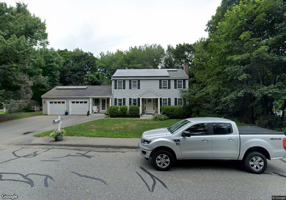
19 Symphony Rd Marlborough, MA 01752
Estimated Value: $541,072 - $697,000
2
Beds
1
Bath
1,232
Sq Ft
$484/Sq Ft
Est. Value
About This Home
This home is located at 19 Symphony Rd, Marlborough, MA 01752 and is currently estimated at $596,768, approximately $484 per square foot. 19 Symphony Rd is a home located in Middlesex County with nearby schools including Marlborough High School, New Covenant Christian School, and Glenhaven Academy - JRI School.
Ownership History
Date
Name
Owned For
Owner Type
Purchase Details
Closed on
Jan 11, 2018
Sold by
Crowley Veronica
Bought by
Mccarthy Kevin
Current Estimated Value
Home Financials for this Owner
Home Financials are based on the most recent Mortgage that was taken out on this home.
Original Mortgage
$130,000
Outstanding Balance
$107,776
Interest Rate
3.9%
Mortgage Type
New Conventional
Estimated Equity
$488,992
Create a Home Valuation Report for This Property
The Home Valuation Report is an in-depth analysis detailing your home's value as well as a comparison with similar homes in the area
Home Values in the Area
Average Home Value in this Area
Purchase History
| Date | Buyer | Sale Price | Title Company |
|---|---|---|---|
| Mccarthy Kevin | $275,000 | -- |
Source: Public Records
Mortgage History
| Date | Status | Borrower | Loan Amount |
|---|---|---|---|
| Open | Mccarthy Kevin | $130,000 |
Source: Public Records
Tax History
| Year | Tax Paid | Tax Assessment Tax Assessment Total Assessment is a certain percentage of the fair market value that is determined by local assessors to be the total taxable value of land and additions on the property. | Land | Improvement |
|---|---|---|---|---|
| 2025 | $4,732 | $479,900 | $236,800 | $243,100 |
| 2024 | $4,779 | $466,700 | $215,200 | $251,500 |
| 2023 | $4,907 | $425,200 | $186,100 | $239,100 |
| 2022 | $4,857 | $370,200 | $177,300 | $192,900 |
| 2021 | $4,818 | $349,100 | $147,700 | $201,400 |
| 2020 | $4,735 | $333,900 | $137,800 | $196,100 |
| 2019 | $4,678 | $332,500 | $137,700 | $194,800 |
| 2018 | $4,208 | $287,600 | $124,600 | $163,000 |
| 2017 | $3,810 | $248,700 | $127,300 | $121,400 |
| 2016 | $3,668 | $239,100 | $127,300 | $111,800 |
| 2015 | $3,658 | $232,100 | $132,200 | $99,900 |
Source: Public Records
Map
Nearby Homes
- 53 Grogan Path
- 492 Stow Rd
- 44 Minehan Ln
- 10 Westminster Dr Unit 10
- 54 Westminster Dr Unit 54
- 38 Airport Blvd
- 22 Sauta Farm Way
- 849 Boston Post Rd E Unit 3G
- 849 Boston Post Rd E Unit 5H
- 74 Wayside Inn Rd
- 271 Boston Post Rd E Unit 7
- 2 Ethel Ave
- 50 Mustang Ave
- 243 Boston Post Rd E Unit 11
- 62 Victoria Ln
- 315 Dicenzo Blvd Unit 315
- 181 Boston Post Rd E Unit 66
- 181 Boston Post Rd E Unit 26
- 181 Boston Post Rd E Unit 49
- 110 Boston Post Rd E Unit 202
Your Personal Tour Guide
Ask me questions while you tour the home.