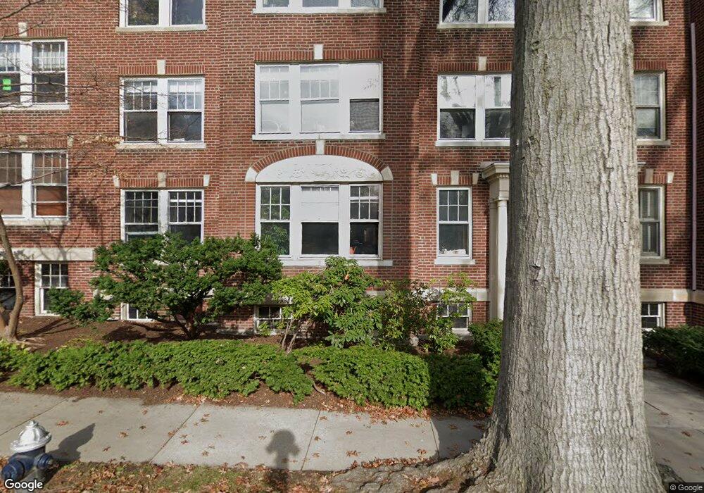
19 Thatcher St Unit E11 Brookline, MA 02446
Coolidge Corner NeighborhoodEstimated Value: $1,445,000 - $1,918,000
3
Beds
2
Baths
1,814
Sq Ft
$874/Sq Ft
Est. Value
About This Home
This home is located at 19 Thatcher St Unit E11, Brookline, MA 02446 and is currently estimated at $1,585,903, approximately $874 per square foot. 19 Thatcher St Unit E11 is a home located in Norfolk County with nearby schools including Amos A. Lawrence School, Brookline High School, and Match Charter Public School.
Ownership History
Date
Name
Owned For
Owner Type
Purchase Details
Closed on
Sep 29, 2017
Sold by
Slover George and Slover Loretta
Bought by
Manuel C Carriero Ret
Current Estimated Value
Purchase Details
Closed on
Aug 1, 2014
Sold by
Memolo Ralph and Memolo Sylvia L
Bought by
Slover George W and Slover Loretta
Create a Home Valuation Report for This Property
The Home Valuation Report is an in-depth analysis detailing your home's value as well as a comparison with similar homes in the area
Home Values in the Area
Average Home Value in this Area
Purchase History
| Date | Buyer | Sale Price | Title Company |
|---|---|---|---|
| Manuel C Carriero Ret | $1,250,000 | -- | |
| Slover George W | $1,150,000 | -- |
Source: Public Records
Tax History
| Year | Tax Paid | Tax Assessment Tax Assessment Total Assessment is a certain percentage of the fair market value that is determined by local assessors to be the total taxable value of land and additions on the property. | Land | Improvement |
|---|---|---|---|---|
| 2025 | $12,360 | $1,252,300 | $0 | $1,252,300 |
| 2024 | $11,996 | $1,227,800 | $0 | $1,227,800 |
| 2023 | $11,863 | $1,189,900 | $0 | $1,189,900 |
| 2022 | $11,888 | $1,166,600 | $0 | $1,166,600 |
| 2021 | $11,320 | $1,155,100 | $0 | $1,155,100 |
| 2020 | $10,808 | $1,143,700 | $0 | $1,143,700 |
| 2019 | $10,206 | $1,089,200 | $0 | $1,089,200 |
| 2018 | $9,430 | $996,800 | $0 | $996,800 |
| 2017 | $9,119 | $923,000 | $0 | $923,000 |
| 2016 | $8,743 | $839,100 | $0 | $839,100 |
| 2015 | $7,998 | $748,900 | $0 | $748,900 |
| 2014 | $7,760 | $681,300 | $0 | $681,300 |
Source: Public Records
Map
Nearby Homes
- 39 Worthington Rd
- 180 Ivy St
- 99 Crowninshield Rd Unit 99
- 178 Ivy St
- 7 Parkman St Unit 1
- 79 Pleasant St Unit 4
- 21 Crowninshield Rd Unit 21
- 105 Babcock St
- 36 Osborne Rd Unit 1
- 36 Osborne Rd
- 53 Winslow Rd
- 63-65 Green St Unit PH-3
- 95 Stedman St Unit 1
- 14 James St Unit 3
- 95 Beals St Unit 2
- 8 Euston St Unit 5
- 1243 Beacon St Unit 5A
- 100 Sewall Ave Unit 5
- 1002 Beacon St
- 52 Babcock St Unit 5
- 19 Thatcher St Unit E13
- 19 Thatcher St Unit E12
- 15 Thatcher St Unit F13
- 15 Thatcher St Unit F12
- 15 Thatcher St Unit F11
- 19 Thatcher St Unit E23
- 19 Thatcher St Unit E22
- 19 Thatcher St Unit E21
- 15 Thatcher St Unit F23
- 15 Thatcher St Unit F21
- 19 Thatcher St Unit 66-2
- 19 Thatcher St Unit 64-2
- 19 Thatcher St Unit 66-5
- 19 Thatcher St Unit 3
- 19 Thatcher St Unit 6
- 15 Thatcher St
- 19 Thatcher St
- 15 Thatcher St Unit 5
- 15 Thatcher St Unit 3,15
- 19 Thatcher St Unit e2-2,19
Your Personal Tour Guide
Ask me questions while you tour the home.