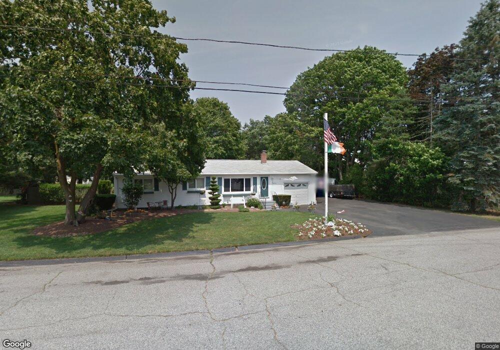
19 Vega Dr Warwick, RI 02886
Greenwood NeighborhoodEstimated Value: $404,731
3
Beds
2
Baths
1,400
Sq Ft
$289/Sq Ft
Est. Value
About This Home
This home is located at 19 Vega Dr, Warwick, RI 02886 and is currently estimated at $404,731, approximately $289 per square foot. 19 Vega Dr is a home located in Kent County with nearby schools including St Rose Of Lima School and Eleanor Briggs School.
Ownership History
Date
Name
Owned For
Owner Type
Purchase Details
Closed on
Mar 29, 2016
Sold by
Layden Farrell J and Layden Donna M
Bought by
Rhode Island Airport C
Current Estimated Value
Purchase Details
Closed on
Jun 6, 2000
Sold by
Maguire Christine A and Maguire Paul S
Bought by
Layden Farrell J and Layden James Donna
Purchase Details
Closed on
Jul 17, 1995
Sold by
Brodeur Robert A and Brodeur Irma
Bought by
Maguire Christine A and Maguire Paul
Create a Home Valuation Report for This Property
The Home Valuation Report is an in-depth analysis detailing your home's value as well as a comparison with similar homes in the area
Home Values in the Area
Average Home Value in this Area
Purchase History
We collect this data history from publicly available records. To have your information removed, we recommend requesting removal directly through your county’s website.
| Date | Buyer | Sale Price | Title Company |
|---|---|---|---|
| Rhode Island Airport C | $195,000 | -- | |
| Layden Farrell J | $124,000 | -- | |
| Maguire Christine A | $119,000 | -- |
Source: Public Records
Mortgage History
We collect this data history from publicly available records. To have your information removed, we recommend requesting removal directly through your county’s website.
| Date | Status | Borrower | Loan Amount |
|---|---|---|---|
| Previous Owner | Maguire Christine A | $135,000 | |
| Previous Owner | Maguire Christine A | $124,642 | |
| Previous Owner | Maguire Christine A | $117,800 |
Source: Public Records
Tax History
| Year | Tax Paid | Tax Assessment Tax Assessment Total Assessment is a certain percentage of the fair market value that is determined by local assessors to be the total taxable value of land and additions on the property. | Land | Improvement |
|---|---|---|---|---|
| 2025 | $0 | $109,900 | $109,900 | $0 |
| 2024 | $0 | $86,900 | $86,900 | $0 |
| 2023 | $0 | $86,900 | $86,900 | $0 |
| 2022 | $0 | $61,600 | $61,600 | $0 |
| 2021 | $0 | $61,600 | $61,600 | $0 |
| 2020 | $0 | $61,600 | $61,600 | $0 |
| 2019 | $0 | $61,600 | $61,600 | $0 |
| 2018 | $0 | $67,700 | $67,700 | $0 |
| 2017 | $0 | $67,700 | $67,700 | $0 |
| 2016 | $3,522 | $174,000 | $60,200 | $113,800 |
| 2015 | $3,320 | $160,000 | $62,900 | $97,100 |
| 2014 | $3,210 | $160,000 | $62,900 | $97,100 |
| 2013 | $3,166 | $160,000 | $62,900 | $97,100 |
Source: Public Records
Map
Nearby Homes
- 24 Johnson Ave
- 339 George Arden Ave
- 3428 W Shore Rd
- 48 Wesleyan Ave
- 74 Stephens Ave
- 3524 W Shore Rd Unit 405
- 3524 W Shore Road Building C-704 Rd Unit C-704
- 2907 Post Rd Unit 2
- 2907 Post Rd Unit 1
- 2907 Post Rd Unit 3
- 2907 Post Rd Unit 7
- 2907 Post Rd Unit 8
- 2907 Post Rd Unit 6
- 2907 Post Rd Unit 4
- 16 Arrow Ave
- 488 Long St
- 37 Child Ln
- 66 Child Ln
- 104 Larkin Ave
- 51 Red Maple Ln
Your Personal Tour Guide
Ask me questions while you tour the home.