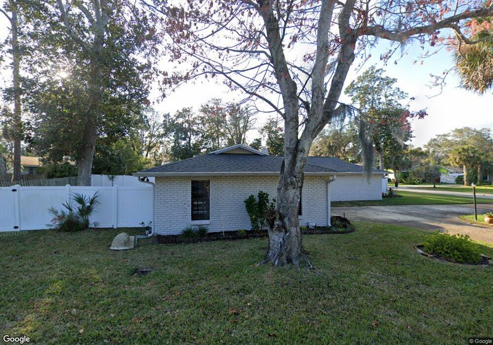
190 Quail Run Ormond Beach, FL 32174
Central Park NeighborhoodEstimated Value: $317,000 - $350,877
3
Beds
2
Baths
1,981
Sq Ft
$170/Sq Ft
Est. Value
About This Home
This home is located at 190 Quail Run, Ormond Beach, FL 32174 and is currently estimated at $336,219, approximately $169 per square foot. 190 Quail Run is a home located in Volusia County with nearby schools including Tomoka Elementary School, Ormond Beach Middle School, and Seabreeze High School.
Ownership History
Date
Name
Owned For
Owner Type
Purchase Details
Closed on
Nov 10, 2025
Sold by
Muench Sandra
Bought by
Hones Sandra and Hones Jeffrey S
Current Estimated Value
Purchase Details
Closed on
Apr 27, 2011
Sold by
Eaton Walter E and Eaton Edith B
Bought by
Muench Dennis and Muench Sandra
Home Financials for this Owner
Home Financials are based on the most recent Mortgage that was taken out on this home.
Original Mortgage
$100,000
Interest Rate
6%
Mortgage Type
Seller Take Back
Purchase Details
Closed on
May 8, 1998
Sold by
Walsh Leonard J and Walsh Mary L
Bought by
Eaton Walter E and Eaton Edith B
Purchase Details
Closed on
Aug 15, 1978
Bought by
Muench Dennis and Muench Sandra
Purchase Details
Closed on
Oct 15, 1974
Bought by
Muench Dennis and Muench Sandra
Create a Home Valuation Report for This Property
The Home Valuation Report is an in-depth analysis detailing your home's value as well as a comparison with similar homes in the area
Home Values in the Area
Average Home Value in this Area
Purchase History
| Date | Buyer | Sale Price | Title Company |
|---|---|---|---|
| Hones Sandra | $100 | None Listed On Document | |
| Muench Dennis | $125,000 | Waterside Title Co | |
| Eaton Walter E | $95,000 | -- | |
| Muench Dennis | $58,500 | -- | |
| Muench Dennis | $10,500 | -- |
Source: Public Records
Mortgage History
| Date | Status | Borrower | Loan Amount |
|---|---|---|---|
| Previous Owner | Muench Dennis | $100,000 |
Source: Public Records
Tax History
| Year | Tax Paid | Tax Assessment Tax Assessment Total Assessment is a certain percentage of the fair market value that is determined by local assessors to be the total taxable value of land and additions on the property. | Land | Improvement |
|---|---|---|---|---|
| 2026 | $977 | $277,474 | $40,572 | $236,902 |
| 2025 | $977 | $126,523 | -- | -- |
| 2024 | $872 | $122,958 | -- | -- |
| 2023 | $872 | $119,377 | $0 | $0 |
| 2022 | $822 | $115,900 | $0 | $0 |
| 2021 | $817 | $112,524 | $0 | $0 |
| 2020 | $799 | $110,970 | $0 | $0 |
| 2019 | $1,190 | $108,475 | $0 | $0 |
| 2018 | $1,187 | $106,452 | $0 | $0 |
| 2017 | $1,198 | $104,262 | $0 | $0 |
| 2016 | $1,203 | $102,118 | $0 | $0 |
| 2015 | $1,239 | $101,408 | $0 | $0 |
| 2014 | $1,228 | $100,603 | $0 | $0 |
Source: Public Records
Map
Nearby Homes
- 905 Willow Run
- 7 Fernery Trail
- 4 Fernery Trail
- 2 Queen Ann Ct
- 5 King Edward Dr
- 16 Fox Hollow Dr
- 210 S Nova Rd
- 22 Old MacOn Dr
- 25 Old MacOn Dr
- 20 Woodlands Cir
- 543 Sandy Oaks Blvd
- 123 Sunnybrook Cir N
- 110,104,90 Bennett Ln
- 644 S Nova Rd
- 22 Red Maple Cir
- 366 Thackery Rd
- 37 Sandpiper Cir
- 101 Life Blvd
- 16 Oak Ave
- 284 Military Blvd
Your Personal Tour Guide
Ask me questions while you tour the home.