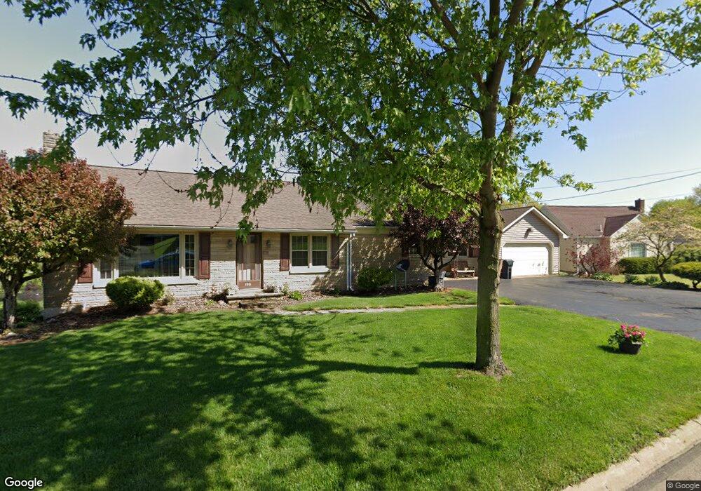
190 W Sandusky St Fredericktown, OH 43019
Estimated Value: $214,000 - $263,587
2
Beds
2
Baths
1,820
Sq Ft
$134/Sq Ft
Est. Value
About This Home
This home is located at 190 W Sandusky St, Fredericktown, OH 43019 and is currently estimated at $243,647, approximately $133 per square foot. 190 W Sandusky St is a home located in Knox County with nearby schools including Fredericktown Elementary School, Fredericktown Middle School, and Fredericktown High School.
Ownership History
Date
Name
Owned For
Owner Type
Purchase Details
Closed on
Dec 8, 2023
Sold by
Carter Richard E
Bought by
Demarco Donald R and Demarco Paula J
Current Estimated Value
Purchase Details
Closed on
Jul 20, 2010
Sold by
Carter Richard E and Muncie Patsy L
Bought by
Carter Richard E
Purchase Details
Closed on
Jan 3, 2004
Sold by
Snyder Richard A and Snyder Helen A
Bought by
Carter Richard E and Carter Patsy L
Home Financials for this Owner
Home Financials are based on the most recent Mortgage that was taken out on this home.
Original Mortgage
$96,320
Interest Rate
5.9%
Mortgage Type
New Conventional
Create a Home Valuation Report for This Property
The Home Valuation Report is an in-depth analysis detailing your home's value as well as a comparison with similar homes in the area
Home Values in the Area
Average Home Value in this Area
Purchase History
We collect this data history from publicly available records. To have your information removed, we recommend requesting removal directly through your county’s website.
| Date | Buyer | Sale Price | Title Company |
|---|---|---|---|
| Demarco Donald R | $1,000 | None Listed On Document | |
| Carter Richard E | -- | None Available | |
| Carter Richard E | $103,200 | None Available |
Source: Public Records
Mortgage History
We collect this data history from publicly available records. To have your information removed, we recommend requesting removal directly through your county’s website.
| Date | Status | Borrower | Loan Amount |
|---|---|---|---|
| Previous Owner | Carter Richard E | $13,760 | |
| Previous Owner | Carter Richard E | $96,320 |
Source: Public Records
Tax History
| Year | Tax Paid | Tax Assessment Tax Assessment Total Assessment is a certain percentage of the fair market value that is determined by local assessors to be the total taxable value of land and additions on the property. | Land | Improvement |
|---|---|---|---|---|
| 2025 | $2,071 | $72,260 | $11,560 | $60,700 |
| 2024 | $2,071 | $72,260 | $11,560 | $60,700 |
| 2023 | $2,497 | $73,900 | $13,200 | $60,700 |
| 2022 | $1,930 | $50,960 | $9,100 | $41,860 |
| 2021 | $1,930 | $50,960 | $9,100 | $41,860 |
| 2020 | $1,902 | $50,960 | $9,100 | $41,860 |
| 2019 | $2,125 | $53,580 | $9,830 | $43,750 |
| 2018 | $2,125 | $53,580 | $9,830 | $43,750 |
| 2017 | $2,093 | $53,580 | $9,830 | $43,750 |
| 2016 | $1,918 | $49,610 | $9,100 | $40,510 |
| 2015 | $1,797 | $49,610 | $9,100 | $40,510 |
| 2014 | $1,800 | $49,610 | $9,100 | $40,510 |
| 2013 | $1,941 | $50,330 | $8,560 | $41,770 |
Source: Public Records
Map
Nearby Homes
- 48 Struble Cir
- 48 Colony Dr
- 116 Struble Cir
- 18 W 2nd St
- 53 Zent Ave
- 27 Colony Dr
- 11479 Armentrout Rd
- 9583 Woodridge Cir
- 9220 Mount Gilead Rd
- 12019 Woodview Ln
- 10367 Quaker Rd
- 5534 Township Road 1
- 13891 Armentrout Rd
- 0 Crooked Street Land Split 2
- 0 Crooked St
- 13739 Old Mansfield Rd
- 13399 Old Mansfield Rd
- 760 Leedy Rd
- 13232 Mansfield Rd
- 13232 Old Mansfield Rd
- 170 W Sandusky St
- 5562 Twp Rd 1
- 0 Canal Dr Unit 20120860
- 19877 Crooked Rd
- 19879 Crooked Rd
- 168 W Sandusky St
- 200 W Sandusky St
- 185 W Sandusky St
- 171 W Sandusky St
- 191 W Sandusky St
- 166 W Sandusky St
- 19 Carol Dr
- 199 W Sandusky St
- 218 W Sandusky St
- 21 Carol Dr
- 163 W Sandusky St
- 152 W Sandusky St
- 23 Carol Dr
- 143 W Sandusky St
- 219 W Sandusky St
Your Personal Tour Guide
Ask me questions while you tour the home.