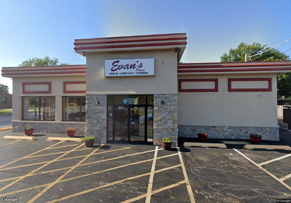
1900 E Touhy Ave Des Plaines, IL 60018
Studio
--
Bath
2,400
Sq Ft
17,424
Sq Ft Lot
About This Home
This home is located at 1900 E Touhy Ave, Des Plaines, IL 60018. 1900 E Touhy Ave is a home located in Cook County with nearby schools including South Elementary School, Algonquin Middle School, and Maine West High School.
Ownership History
Date
Name
Owned For
Owner Type
Purchase Details
Closed on
Apr 24, 2023
Sold by
Chicago Title Land Trust Company
Bought by
Elias E Georgantas And Lambrini Georgantas Jo and Georgantas
Purchase Details
Closed on
May 2, 2003
Sold by
Rollies Inc
Bought by
Lasalle Bank Na and Trust #131186
Home Financials for this Owner
Home Financials are based on the most recent Mortgage that was taken out on this home.
Original Mortgage
$320,000
Interest Rate
7.5%
Mortgage Type
Commercial
Create a Home Valuation Report for This Property
The Home Valuation Report is an in-depth analysis detailing your home's value as well as a comparison with similar homes in the area
Home Values in the Area
Average Home Value in this Area
Purchase History
| Date | Buyer | Sale Price | Title Company |
|---|---|---|---|
| Elias E Georgantas And Lambrini Georgantas Jo | -- | Chicago Title | |
| Lasalle Bank Na | $290,000 | Atgf Inc |
Source: Public Records
Mortgage History
| Date | Status | Borrower | Loan Amount |
|---|---|---|---|
| Previous Owner | Lasalle Bank Na | $320,000 |
Source: Public Records
Tax History
| Year | Tax Paid | Tax Assessment Tax Assessment Total Assessment is a certain percentage of the fair market value that is determined by local assessors to be the total taxable value of land and additions on the property. | Land | Improvement |
|---|---|---|---|---|
| 2025 | $23,465 | $111,751 | $73,615 | $38,136 |
| 2024 | $23,465 | $89,003 | $45,805 | $43,198 |
| 2023 | $22,901 | $89,003 | $45,805 | $43,198 |
| 2022 | $22,901 | $89,003 | $45,805 | $43,198 |
| 2021 | $25,820 | $84,000 | $45,804 | $38,196 |
| 2020 | $25,384 | $84,000 | $45,804 | $38,196 |
| 2019 | $22,606 | $84,000 | $45,804 | $38,196 |
| 2018 | $23,327 | $78,000 | $26,174 | $51,826 |
| 2017 | $22,915 | $78,000 | $26,174 | $51,826 |
| 2016 | $21,675 | $78,000 | $26,174 | $51,826 |
| 2015 | $28,361 | $93,812 | $25,356 | $68,456 |
| 2014 | $27,763 | $93,812 | $25,356 | $68,456 |
| 2013 | $27,071 | $93,812 | $25,356 | $68,456 |
Source: Public Records
Map
Nearby Homes
- 1922 Fargo Ave
- 2600 S Scott St
- 2035 Fargo Ave
- 1641 E Touhy Ave
- 1629 E Touhy Ave
- 2646 Maple St
- 38 E Touhy Ave
- 2054 Birch St
- 2469 Parkwood Ln
- 2664 S Craig Dr
- 1757 Farwell Ave
- 1738 Lunt Ave
- 1895 Birch St
- 1881 Orchard St
- 1370 Fargo Ave Unit E
- 2993 Curtis St Unit 13
- 2945 S Scott St
- 1445 Everett Ave
- 44 Park Ln Unit 232
- 44 Park Ln Unit 223
- 2371 Birch St
- 2359 Birch St
- 1926 E Touhy Ave
- 2415 Birch St
- 1928 E Touhy Ave
- 2349 Birch St
- 2412 Birch St
- 2343 Birch St
- 2417 Birch St
- 2410 Birch St
- 1934 E Touhy Ave
- 2414 Birch St
- 2419 Birch St
- 1871 Krowka Dr
- 2416 Birch St
- 2421 Birch St
- 2421 Birch St Unit A
- 1939 E Touhy Ave
- 1909 E Touhy Ave
- 2418 Birch St
Your Personal Tour Guide
Ask me questions while you tour the home.