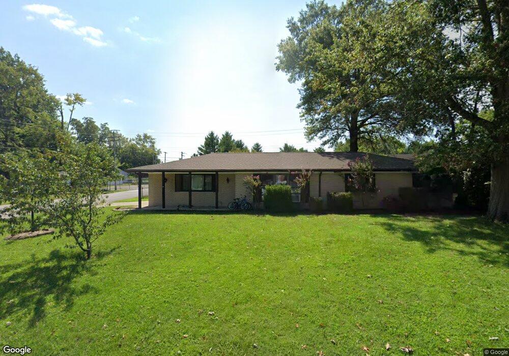
1900 Menard Dr Belleville, IL 62220
Estimated Value: $150,000 - $178,000
About This Home
This home is located at 1900 Menard Dr, Belleville, IL 62220 and is currently estimated at $167,123, approximately $137 per square foot. 1900 Menard Dr is a home located in St. Clair County with nearby schools including Roosevelt Elementary School, Central Jr High School, and Governor French Academy.
Ownership History
We collect this data history from publicly available records. To have your information removed, we recommend requesting removal directly through your county’s website.
Purchase Details
Home Financials for this Owner
Home Financials are based on the most recent Mortgage that was taken out on this home.Purchase Details
Home Financials for this Owner
Home Financials are based on the most recent Mortgage that was taken out on this home.Purchase Details
Home Financials for this Owner
Home Financials are based on the most recent Mortgage that was taken out on this home.Home Values in the Area
Average Home Value in this Area
Purchase History
We collect this data history from publicly available records. To have your information removed, we recommend requesting removal directly through your county’s website.
| Date | Buyer | Sale Price | Title Company |
|---|---|---|---|
| $75,000 | Fatic | ||
| $111,500 | Fatic | ||
| $102,000 | -- |
Mortgage History
We collect this data history from publicly available records. To have your information removed, we recommend requesting removal directly through your county’s website.
| Date | Status | Borrower | Loan Amount |
|---|---|---|---|
| Open | $73,542 | ||
| Previous Owner | $113,897 | ||
| Previous Owner | $102,000 |
Tax History
We collect this data history from publicly available records. To have your information removed, we recommend requesting removal directly through your county’s website.
| Year | Tax Paid | Tax Assessment Tax Assessment Total Assessment is a certain percentage of the fair market value that is determined by local assessors to be the total taxable value of land and additions on the property. | Land | Improvement |
|---|---|---|---|---|
| 2024 | $3,065 | $47,189 | $8,180 | $39,009 |
| 2023 | $2,900 | $42,762 | $8,068 | $34,694 |
| 2022 | $2,664 | $38,945 | $7,348 | $31,597 |
| 2021 | $2,613 | $37,346 | $7,046 | $30,300 |
| 2020 | $2,510 | $34,780 | $6,562 | $28,218 |
| 2019 | $2,666 | $37,507 | $6,696 | $30,811 |
| 2018 | $2,609 | $36,549 | $6,525 | $30,024 |
| 2017 | $2,551 | $35,576 | $6,351 | $29,225 |
| 2016 | $2,556 | $34,350 | $6,132 | $28,218 |
| 2014 | $2,234 | $34,147 | $5,913 | $28,234 |
| 2013 | $2,617 | $34,147 | $5,913 | $28,234 |
Map
- 432 Meadowlark Ln
- 34 Fenwood Dr
- 66 Dianne Dr
- 1374 Rocky Creek Ct
- 320 Summers Trace
- 230 Winterberry Dr
- 404 Hunters Glen
- 4 Red Cedar Ct
- 516 Springwood Dr
- 411 John Henry St
- 912 Peony Dr
- 15 Gerri Ann Dr
- 1210 3rd Ave
- 1121 2nd Ave
- 408 S 15th St
- 807 Gass Ave
- 511 S 10th St
- 628 S 19th St
- 417 S 8th St
- 1825 Bunsen Ave
- 1825 Menard Dr
- 1901 Menard Dr
- 1821 Menard Dr
- 1905 Menard Dr
- 1817 Menard Dr
- 1820 Black Lab Ln
- 25 Kingman Ct
- 1904 Menard Dr
- 18 Kingman Ct Unit 20
- 1820 Menard Dr
- 20 Kingman Ct
- 1909 Menard Dr Unit 1909 Menard Dr
- 1815 Menard Dr
- 101 Blue Grass Ln
- 1908 Menard Dr
- 1818 Menard Dr
- 19 Kingman Ct
- 2201 Centreville Ave
- 105 Blue Grass Ln
- 2205 Centreville Ave Unit 2
Ask me questions while you tour the home.